Mapa catalogado
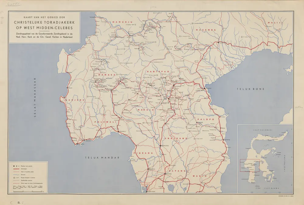
Kaart van het gebied der christelijke Toradjakerk op West Midden-Celebes : zendingsgebied van de Gereformeerde Zendingsbond in de Ned[erlands] Herv[ormde] Kerk en de Chr[istelijk] Geref[ormeerde] Kerken in Nederland

Título completo:Kaart van het gebied der christelijke Toradjakerk op West Midden-Celebes : zendingsgebied van de Gereformeerde Zendingsbond in de Ned[erlands] Herv[ormde] Kerk en de Chr[istelijk] Geref[ormeerde] Kerken in Nederland
Año de ilustración:1930
Editorial:[S.l. : s.n.]
Tamaño físico:20 x 30 cm
Kaart van het gebied der christelijke Toradjakerk op West Midden-Celebes : zendingsgebied van de Gereformeerde Zendingsbond in de Ned[erlands] Herv[ormde] Kerk en de Chr[istelijk] Geref[ormeerde] Kerken in Nederland
1930
[S.l. : s.n.]
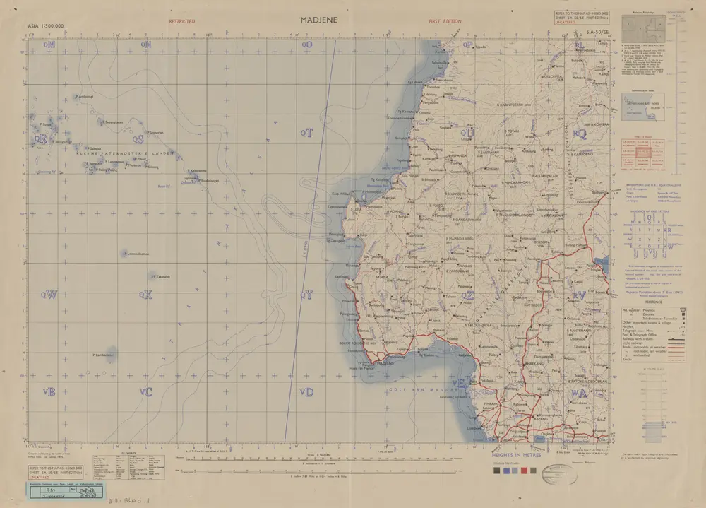
Madjene / Survey of India
1945
Survey of India
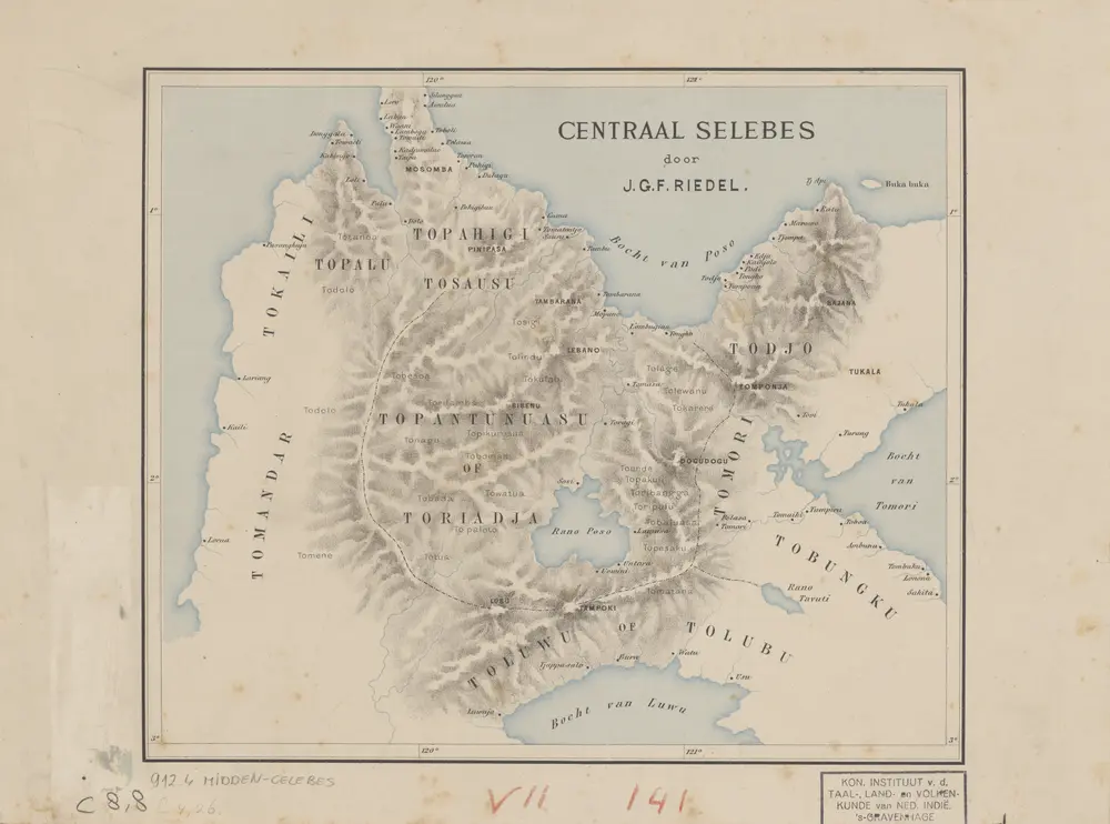
Centraal Selebes [Celebes] / door J.G.F. Riedel
1886
Koninklijk Instituut voor de Taal-, Land- en Volkenkunde van Nederlandsch-Indië 's-Gravenhage
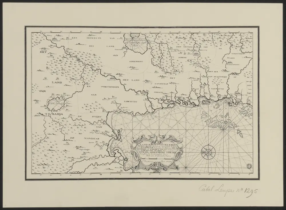
Facsimile van 'Land-Kaart van Celebes West-kust, behelzende meerendeels de rykjes van Mandhar, mitsgaders het ryk van Aganiondjo of Tanette. De vorstendommen van Saqitto, Mario, meteen gedeelte van Soping, Sideenring, Toradja, beneffens het Westelyke Zoete Meir', 1752.
1900
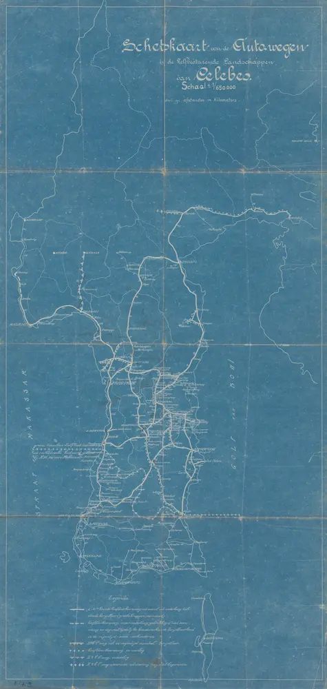
Schetskaart van de autowegen in de Zelfbesturende Landschappen van Celebes
1930
[S.l. : s.n.]
Gouvernement Celebes en Onderh[origheden] / Topografische Dienst, Batavia
1944
[S.l. : s.n.]
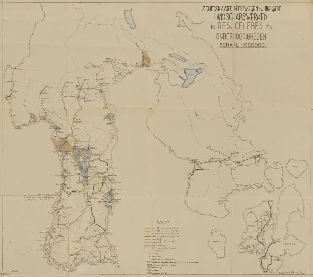
Schetskaart autowegen en irrigatie landschapswerken in Res[identie] Celebes en Onderhoorigheden
1941
[S.l. : s.n.]
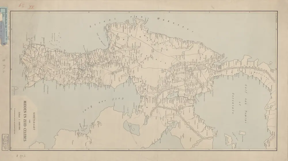
Schetskaart van Midden- en Zuid-Celebes / Topographische Inrichting
1906
Topographische Inrichting Batavia

Bandjarmasin / samengesteld en gedrukt bij den Topografischen Dienst
1935
Topografische Dienst Batavia
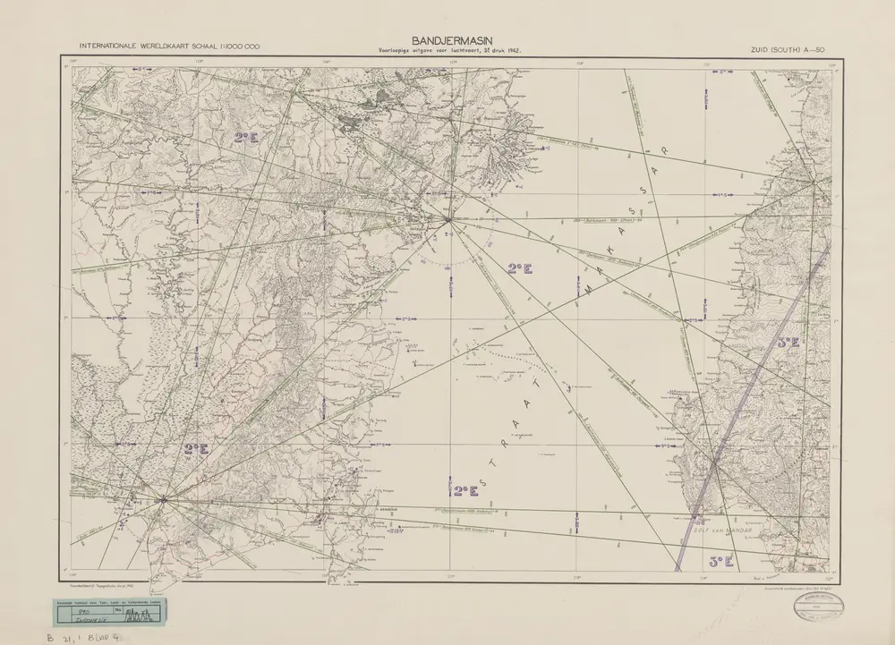
Bandjarmasin / Topografische Dienst
1942
Topografische Dienst Batavia