Cataloged map
Aroe Eilanden / U.S. Army Map Service

Full title:Aroe Eilanden / U.S. Army Map Service
Depicted:1944
Publisher:Washington D.C. : U.S. Army Map Service
Physical Size:20 x 30 cm
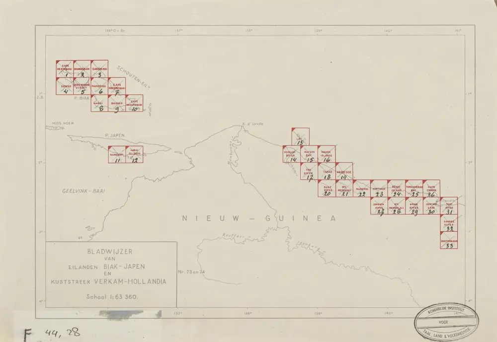
Bladwijzer van Eilanden Biak-Japen en Kuststrook Verkam-Hollandia
1945
[S.l. : s.n.]
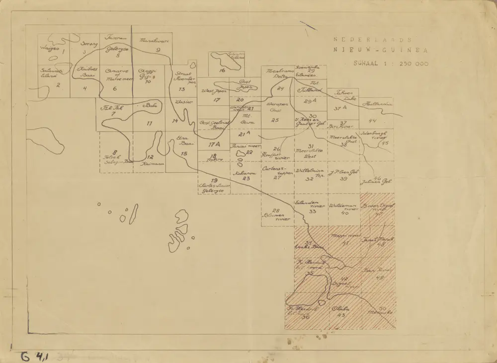
Nederlands Nieuw-Guinea / [Netherlands Topographic Service]
1954
Netherlands Topographic Service Delft
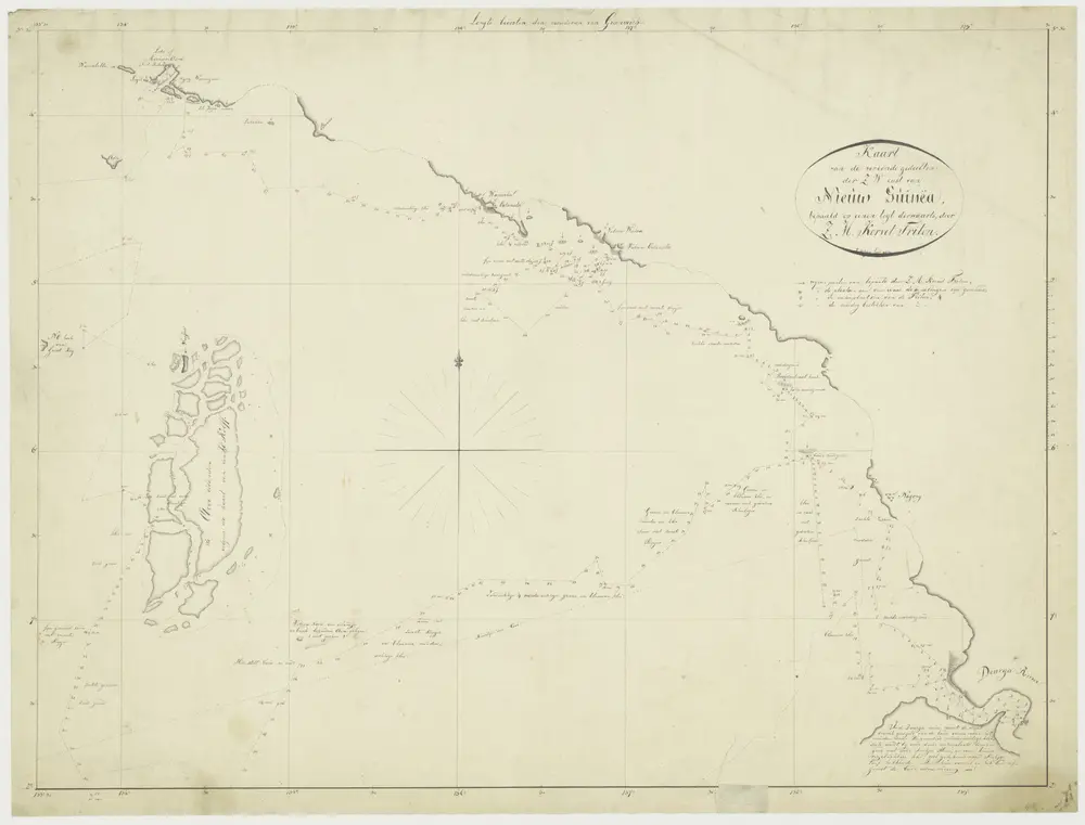
Kaart van de Verkende gedeelten der Z.W. Kust van Nieuw - Guinea, bepaald op eenen togt. Derwaarts door Zr. Ms. Korvet Triton.
1829
J. Modera
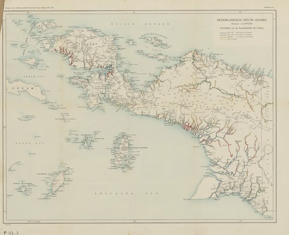
Nederlandsch-Nieuw-Guinee
1915
Topographische Inrichting Batavia
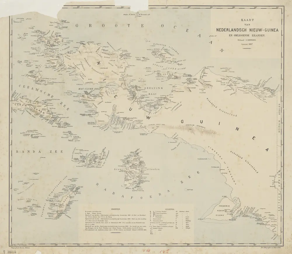
Kaart van Nederlandsch Nieuw-Guinea en omliggende eilanden / Topographisch Bureau
1897
Topographisch Bureau Batavia
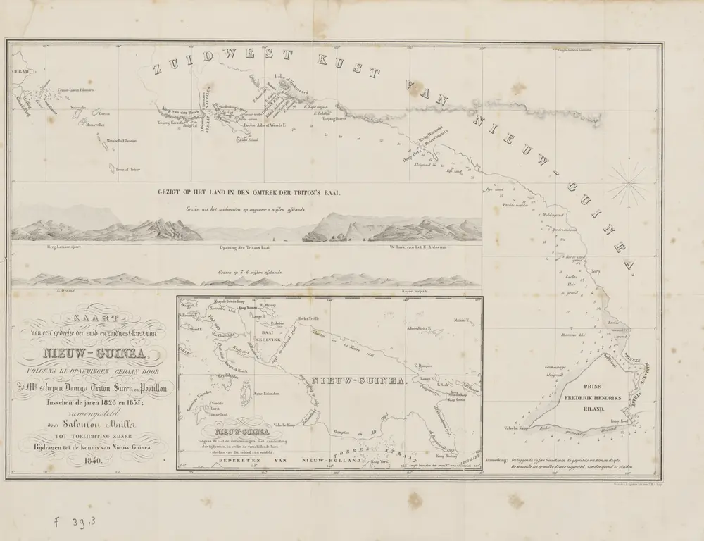
Kaart van een gedeelte der zuid en zuidwest kust van Nieuw-Guinea : volgens de opnemingen gedaan door Zr. Ms. schepen Dourga, Triton, Sireen en Postillon tusschen de jaren 1826 en 1835 / zamengesteld door Salomon Müller
1840
[S.l. : s.n.]
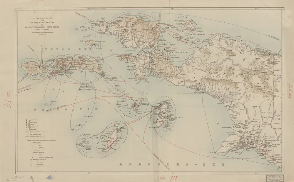
Overzichtskaart van de Residentie Amboina en de Afdeeling Noord-Nieuw Guinea / samengesteld door het Encyclopaedisch Bureau [in] 1915
1916
Encyclopaedisch Bureau Batavia
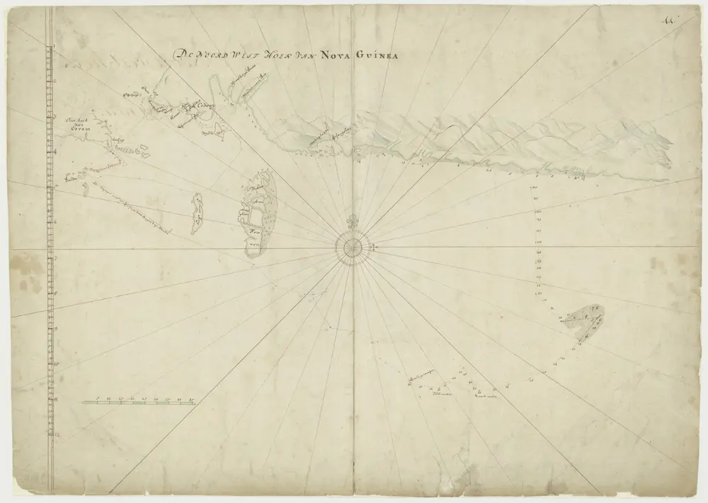
Kaart van de noordwesthoek van Nova Guinea
1700
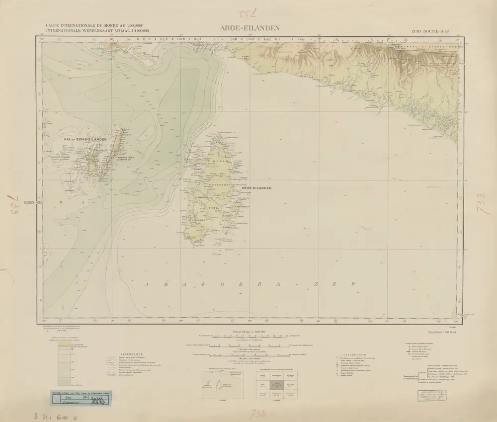
Aroe-Eilanden / samengesteld en gedrukt bij den Topografischen Dienst
1932
Topografische Dienst Batavia
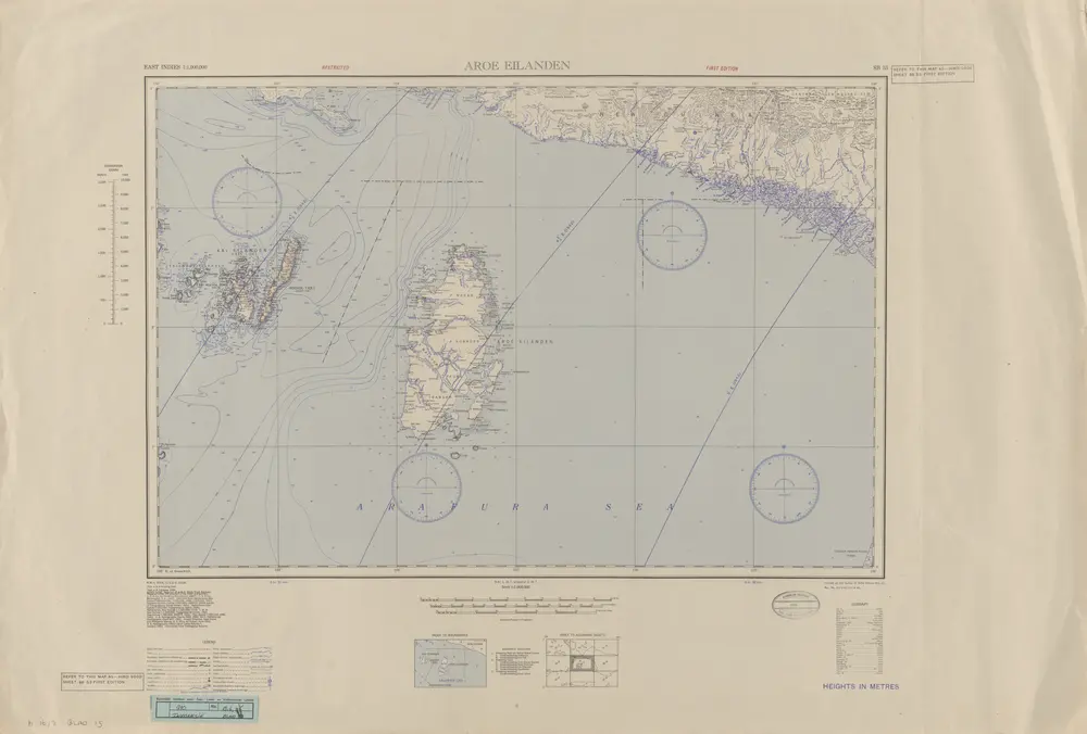
Aroe Eilanden / U.S. Army Map Service
1944
U.S. Army Map Service Washington D.C.