Maps of Boechout

Maps of Boechout

$title$

Plan parcellaire de la commune de Bouchout (lez Lierre) : avec les mutations

1 : 5000 Royal Library of Belgium Map Room Popp, Philippe Christian (1805-1879) Popp, Philippe Christian (1805-1879)
$title$

Plan parcellaire de la commune de Hove lez-Contich : avec les mutations

1 : 5000 Royal Library of Belgium Map Room Popp, Philippe Christian (1805-1879) Popp, Philippe Christian (1805-1879)
$title$

Plan parcellaire de la commune de Vremde : avec les mutations

1 : 5000 Royal Library of Belgium Map Room Popp, Philippe Christian (1805-1879) Popp, Philippe Christian (1805-1879)
$title$

Plan parcellaire de la commune de Linth : avec les mutations

1 : 5000 Royal Library of Belgium Map Room Popp, Philippe Christian (1805-1879) Popp, Philippe Christian (1805-1879)
$title$

Plan parcellaire de la commune de Lierre : avec les mutations

1 : 5000 Royal Library of Belgium Map Room Popp, Philippe Christian (1805-1879) Popp, Philippe Christian (1805-1879)
$title$

Plan parcellaire de la commune de Borsbeeck (lez Anvers) : avec les mutations

1 : 5000 Royal Library of Belgium Map Room Popp, Philippe Christian (1805-1879) Popp, Philippe Christian (1805-1879)
$title$

Plan parcellaire de la commune de Mortsel : avec les mutations

1 : 5000 Royal Library of Belgium Map Room Popp, Philippe Christian (1805-1879) Popp, Philippe Christian (1805-1879)
$title$

Karte der Umgebung von Antwerpen

Antverpy (Belgie)
$title$

Carte des environs d'Anvers

1 : 100000 Dordt : by Steuerwald & Co. ; Breda : bij Broese & Co.
$title$

Marchionatus Sacri Romani Imperii : Nobilißimo, Amplißimo, Prudentißimoq[ue] Senatuj Urbis Antverpiæ, nec non Marchionatus Sacri Imperij, Viris Consultissimis Sapientissimisq[ue]

Visscher, Nicolaes, 1618-1679 Nicolaus Jansenius Piscator
$title$

Plan parcellaire de la commune de Ranst : avec les mutations

1 : 5000 Royal Library of Belgium Map Room Popp, Philippe Christian (1805-1879) Popp, Philippe Christian (1805-1879)
$title$

Plan parcellaire de la commune de Contich : avec les mutations

1 : 5000 Royal Library of Belgium Map Room Popp, Philippe Christian (1805-1879) Popp, Philippe Christian (1805-1879)
$title$

Plan parcellaire de la commune de Wommelghem : avec les mutations

1 : 5000 Royal Library of Belgium Map Room Popp, Philippe Christian (1805-1879) Popp, Philippe Christian (1805-1879)
$title$

Plan parcellaire de Deurne (lez-Anvers) : avec les mutations

1 : 5000 Royal Library of Belgium Map Room Popp, Philippe Christian (1805-1879) Popp, Philippe Christian (1805-1879)
$title$

Plan parcellaire de la commune de Broechem : avec les mutations

1 : 5000 Royal Library of Belgium Map Room Popp, Philippe Christian (1805-1879) Popp, Philippe Christian (1805-1879)
$title$

LIER

[Amsterdam : Joan Blaeu]
$title$

Plan parcellaire de la commune de Lierre intra-muros : avec les mutations

1 : 1250 Royal Library of Belgium Map Room Popp, Philippe Christian (1805-1879) Popp, Philippe Christian (1805-1879)
$title$

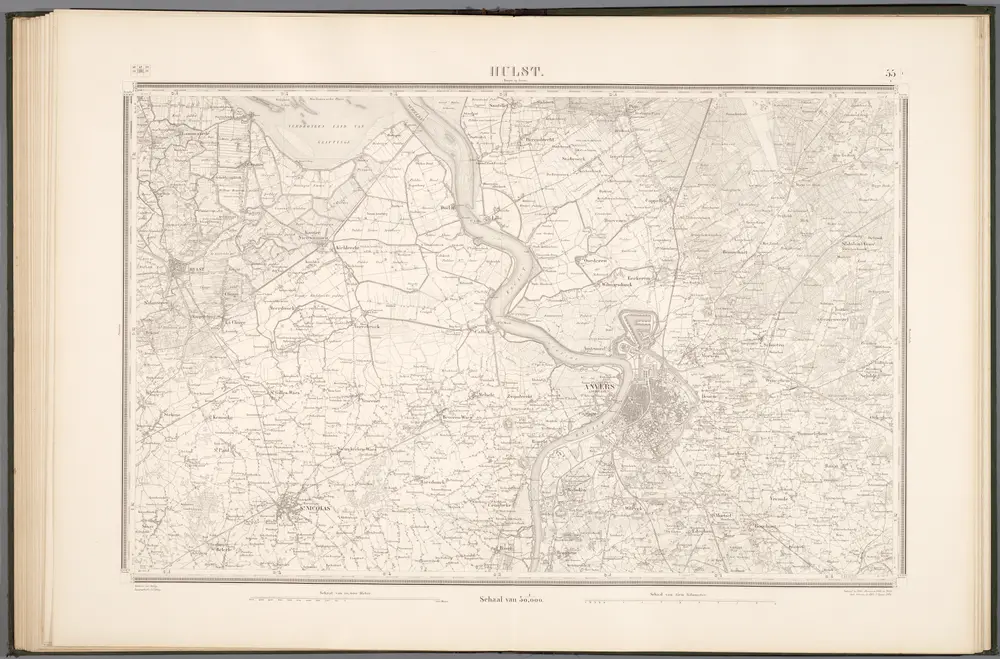
55 Hulst, uit: Topographische en militaire kaart van het Koningrijk der Nederlanden / vervaardigd door de officieren van den Generale Staf ; en gegraveerd op het Topographisch Bureau, van het Ministerie van Oorlog

1 : 50000 titelvariant: TMK; Annotatie: Met bladwijzer op schaal 1:600.000. - 1915; Met Verklaring van de topographische en militaire kaart van het Koninkrijk der Nederlanden. - 1910; Bd. 1: titelblad, bladwijzer, verklaring, bladen 1 t/m 32; Bd. 2: bladen 33 t/m 62 Generale Staf, Nederland; Ministerie van Oorlog. Topographisch Bureau ['s-Gravenhage : Ministerie van Oorlog]
$title$

Bl. 31 Chaam, 1905, uit: Atlas A.N.W.B.

1 : 200000 titelvariant: Atlas van Nederland van den A.N.W.B. Toeristenbond voor Nederland; Wielrijders-atlas van Nederland; Annotatie: Titel op bladwijzer: Atlas van Nederland van den A.N.W.B. Toeristenbond voor Nederland; Titel op legendablad: Wielrijders-atlas van Nederland; Voor aanwezige bladen zie overzichtsblad; Annotatie geografische gegevens: De serie bestaat uit 36 bladen ANWB ['s-Gravenhage : A.N.W.B.]
$title$

Tertia Pars Brabantiae qua continetur Marchionat. S.R.I. horum urbs primaria Antverpia

1 : 180000 Mollova mapová sbírka Langren, Michael Florent van Bleau, Willem Janszon
$title$

Antwerpen u. Umgegend

1 : 100000 L. Friederichsen & Co.
$title$

Brabant. Malines M. St. Empire Zelande, Utrecht et Hollande Meridionale

Mollova mapová sbírka Aa, Pieter van der Aa, Janson Vander
$title$

S.R.I. sive Antverpiae Marchionatus, et Dominium Mechliniae

1 : 100000 Mollova mapová sbírka Allard, Carel Covens, Johannes I
$title$

Mechlinia Doninivm et Aerschot Dvcatvs

1 : 140000 Mollova mapová sbírka Langren, Michael Florent van Janssonius, Johannes I
$title$

Mechalinia Dominum et Aerschot Ducatus

1 : 266000 Mollova mapová sbírka Visscher, Nicolaes Schenk, Peter II
$title$

Tetrarchiae Antverpiensis pars meridionalis

1 : 133000 Mollova mapová sbírka Visscher, Nicolaes Schenk, Peter II
$title$

Road and Bridge Map: Antwerp

1 : 100000 First World War Road and Bridge Map. Antwerp. Showing roads normally suitable for motor traffic, road bridges and light railways. War Office
$title$

VIII ; 2.K., uit: Carte chorographique des Pays-Bas Autrichiens / ... par le Comte de Ferraris ; gravée par L.A. Dupuis

1 : 86400 Annotatie: Bladen linksboven genummerd met Romeinse cijfers, rechtsboven met een cijfer en een letter; Met opdracht aan keizer Joseph II (bl.XVI); Met plattegrond van Brussel (bl. XXI), overzichtskaart (bl. XXII) en bladwijzer (bl. XXIII); Annotatie geografische gegevens: Schaalstokken: Echelle de Toises ou de Lieues communes de France; Echelle de Verges ou de Lieues de Brabant; Echelle de Milles d'Allemagne (bl. XVII); Echelle de Mètres; In de hoeken lengte- en breedtematen T.M.e en T.P.e Joseph-Jean François Ferraris Comte de 1726-1814; L.A. Dupuis [S.l. : s.n.]
$title$

22. Kempen, uit: Geologische kaart van Nederland / door W.C.H. Staring ; bew. aan de Topographische Inrichting

1 : 200000 Winand Carel Hugo Staring 1808-1877; Topographische Inrichting, 's-Gravenhage 's-Gravenhage : Belinfante
$title$

MECHLINIA | DOMINIVM, | et | AERSCHOT | DVCATVS

Auctore Michaele Flor. a Langren | Regis Catholici mathematico. [Amsterdam : Joan Blaeu]
© MapTiler © OpenStreetMap contributors
How does it work?
These instructions will show you how to find historical maps online.
Getting started
Type the place name in the search box to find the exact location. You can further adjust the search by zooming in and out.
Zoom
Zoom in and out with the buttons or use your mouse or touchpad natively.
Exact Area tool
Click here and draw a rectangle over the map to precisely define the search area.
Set filters
Narrow your search with advanced settings, such as Years (from/to), Fulltext, Publisher, etc.
Results
See the results of your search on the right side. You can scroll down to find more maps of this location.
?

Download OldMapsOnline Mobile