Maps of Gratangen

Krokering nr 49
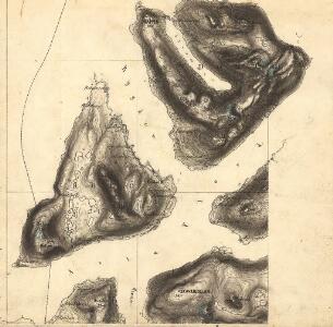
1 : 100000 Widerberg
1332-1 Andörja
1 : 50000 Statens kartverk
1332-1 Andörja
1 : 50000 Statens kartverk
1332-1 Andörja
1 : 50000 Norges Geografiske Oppmåling
1332-1 Andörja
1 : 50000 Statens kartverk
1332-1 Andörja
1 : 50000 Norges Geografiske Oppmåling
M8 sørøstre del
1 : 50000 Carl Ludvig Soelberg
Norway 1:100,000 , Series GSGS 4090, Harstad
Norway 1:100,000 , Series GSGS 4090. Great Britain. War Office. General Staff. Geographical Section. [London] : War Office
M8 Harstad
1 : 100000
M8 Harstad
1 : 100000 Ole Tolstad | Ole Bernhard Tolstad | C. Pedersen
M8 Harstad
1 : 100000 Ole Tolstad | Ole Engh | Ole Bernhard Tolstad
M8 Harstad
1 : 100000 Ole Bernhard Tolstad | Ole Tolstad
M8 Harstad
1 : 100000 Ole Tolstad | Ole Bernhard Tolstad
M8 Harstad
1 : 100000
N8 nv/4
1 : 50000 Oluf Gabriel Lund
N8 sv/4
1 : 50000 Thorleif Barlag
83B 3; 83B 4; 83B 7; 83B 8
1 : 50000 Thorvald Johan Randin Johannessen
N8 Salangen
1 : 100000 Johan Gulbrandsen Natrud | Ole Engh
Norway 1:100,000 , Series GSGS 4090, Salangen
Norway 1:100,000 , Series GSGS 4090. Great Britain. War Office. General Staff. Geographical Section. [London] : War Office
N8 Salangen
1 : 100000 Johan Gulbrandsen Natrud | Ole Engh
N8 Salangen
1 : 100000
N8 Salangen
1 : 100000 Johan Gulbrandsen Natrud | Ole Engh
N8 Salangen
1 : 100000
1332-2 Astafjorden
1 : 50000 Statens kartverk
1332-2 Astafjorden
1 : 50000 Statens kartverk
N8 n/2

M8 nordøstre del
1 : 50000 Knut Odin Damm
1332-2 Astafjord
1 : 50000 Norges Geografiske Oppmåling
1332-2 Astafjorden
1 : 50000 Statens kartverk