Maps of Sogndal

Trigonometrisk grunnlag, Squelet-Cart 57: Trigonometrisk Kart
1 : 200000 H. Gill
Trigonometrisk grunnlag, Squelet-Cart 55: kart over de i Sommeren 1859 bestemte Punkter
1 : 200000 H. Gill
Museumskart 217-57: Specialkart over Sognefjorden
1 : 100000 G. Dellinger Den Geografiske Opmaaling
Kartblad 127: Situations-Kart over det Sündre Sündfiordske Compagnie District

Kartblad 122: Situasion af de Bergenhuusske Regimenters Grændser udi Indre Sogn saaledes som samme vilde blive efter den af det Første Bergenhuusiske Regiment udkastede Plan

Museumskart 217-56: Specialkart over Sognefjorden
1 : 100000 G. Dellinger Den Geografiske Opmaaling
Jostedalsbræen med tilgrænsende strøk

Kartblad 126: Wej- og Situations_cart over det Tjugumske Compagnie District
Gerhard Heiberg Daae
Kartblad 132- Situation af det Urlandske Compagnie District; versjon 1
Leitzner
Kartblad 132-2: Situation af det Urlandske Compagnie District; versjon 2
Leitzner
Kartblad 125: Carte over det Tiugumske Compagnie District

Portefølje nr 36
1 : 100000 H. Lund
Museumskart 91b: Speciel Kaart over en Deel af Den Norske Søe-Kyst, Austrheim til Bremanger
1 : 70000 Carl Frederik Grove
Portefølje nr 35
1 : 100000
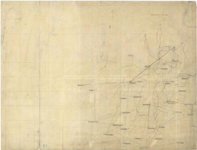
C31 aust Sogndal
1 : 100000
29B Sogndal
1 : 100000 E. Heiberg | H. T. Bjørnstad
29B Sogndal
1 : 100000 H. T. Bjørnstad | E. Heiberg
29B Sogndal
1 : 100000 H. T. Bjørnstad
C32 aust Flåmsdalen
1 : 100000
C31 aust Sogndal
1 : 100000
C32 vest Vossestrand
1 : 100000
C32 aust Flåmsdalen
1 : 100000
C32 aust Flåmsdalen
1 : 100000
C32 vest Vossestrand
1 : 100000
B31 vest Lavik
1 : 100000
B32 vest Masfjorden
1 : 100000
B32 aust Modalen
1 : 100000
B31 aust Kyrkjebø
1 : 100000
LE NÉVÉ DE JUSTEDAL ET SES ALENTOURS
M. Lyng's lith. Anst. Christiania