Maps of Årjängs kommun

Spesielle kart nr 47-1: Den Norske Tømmer drift igjennem Halv- eller Heel Svenske vas-drager
1 : 70000
Spesielle kart nr 47-2: Den Norske Tømmer drift igjennem Halv- eller Heel Svenske Wasdrager
1 : 70000
15B Øymark
1 : 100000 Johan Ferdinand Normann | C. Pedersen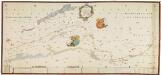
NRA GA 2
Ratkind | Thodal | Friedenreich | Bautz | Marelius | Holm
15B Øymark
1 : 100000 C. Pedersen | Johan Ferdinand Normann
15D Setskog
1 : 100000 C. Pedersen | Solem
15B Øymark
1 : 100000
15B Øymark
1 : 100000 Johan Ferdinand Normann | C. Pedersen
15D Setskog
1 : 100000 C. Pedersen | Solem
15D Setskog
1 : 100000 C. Pedersen | Solem
15B Øymark
1 : 100000 Johan Ferdinand Normann | C. Pedersen
15B Øymark
1 : 100000 Johan Ferdinand Normann | C. Pedersen
15D Setskog
1 : 100000 C. Pedersen | Solem
15D Setskog
1 : 100000
Portefølje nr 25
1 : 100000
Portefølje nr 25
1 : 100000 F. Akrell
Portefølje nr 25
1 : 100000
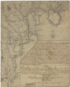
Kartblad 40: Vey-Cart over det Høelandske Infanterie Compagnies District
Heyerdahl
Kartblad 3-2: Vey-Kart over det Markerske Compagnie District; versjon 2
Rode
2014-2 Stangebryt
1 : 50000 Norges Geografiske Oppmåling
2014-1 Vestmarka
1 : 50000 Norges Geografiske Oppmåling
2014-1 Skotterud
1 : 50000 Statens kartverk
2014-1 Vestmarka
1 : 50000 Norges Geografiske Oppmåling
2014-1 Vestmarka
1 : 50000 Norges Geografiske Oppmåling
2114-4 Veksa
1 : 50000 Norges Geografiske Oppmåling
2114-4 Stranden
1 : 50000 Norges Geografiske Oppmåling
2114-4 Veksa
1 : 50000 Statens kartverk
2114-4 Veksa
1 : 50000 Statens kartverk
2014-2 Stangebrot
1 : 50000 Norges Geografiske Oppmåling