Maps of Nordreisa

Spesielle kart 172-4: Kart over riksgrensen mellom Norge og Finland
1 : 40000 Kristian Nissen | Gleditsch | Arvo Manner | K. Vaala
S7-9; S7-10
1 : 50000 M. Guldbrandsen
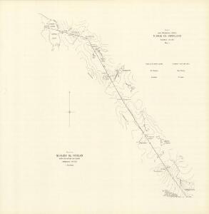
Spesielle kart 171-kart3: Riksgrensekart fra grenseoppgangen Norge_Finland fra Treriksrà ̧ysa til Krokfjellet
1 : 50000 Th. Sà ̧mod | Erik O. Dahle | Yrjö Kärkkäinen | Seppo Härmälä
Krokering nr 18
1 : 100000 Lund
1733-2 Cierte
1 : 50000 Statens kartverk
1733-2 Cierte
1 : 50000 Statens kartverk
1733-2 Cier'te
1 : 50000 Norges Geografiske Oppmåling
1733-2 Cierte
1 : 50000 Statens kartverk
NRA GA 20
Thodal | Halldin | Krogh | Marelius | Holm | Wetterstedt
S7-11; S7-12
1 : 50000 M. Guldbrandsen
1733-3 Coahppejávri
1 : 50000 Statens kartverk
1733-3 Coahppejávri
1 : 50000 Statens kartverk
1733-3 Coap'pejav'ri
1 : 50000 Norges Geografiske Oppmåling
1733-3 Coahppejávri
1 : 50000 Statens kartverk
1733-1 Mållešjåkka
1 : 50000 Norges Geografiske Oppmåling
1733-1 Mollešjohka
1 : 50000 Statens kartverk
1733-1 Mollešjohka
1 : 50000 Statens kartverk
S7-5; S7-6
1 : 50000 Torgeir Gundersen | Roald Aanrud
Krokering nr 15
1 : 100000 Lund
Krokering nr 20
1 : 100000 Lund
S7-7; S7-8 nordre del
1 : 50000 Roald Aanrud
Krokering nr 72
1 : 200000 Lund
Geologiske kart 121-Z: Kart med magnetisk totalfelt. Nordreisa
1 : 250000 Norges geologiske undersøkelse
Statistikk 43-27-2: Bosettingskart over Nordreisa. Blad 27
1 : 250000 Statistisk Sentralbyrå
Statistikk 43-27- Bosettingskart over Nordreisa. Blad 27
1 : 250000 Statistisk Sentralbyrå
Krokering nr 38-2
1 : 100000 Lund
Finmarkens amt nr 53a: Kaafjord
1 : 20000 Fr. Löwenborg
Spesielle kart 122-12: Postkart over Norge
1 : 400000 Toralf à ̃yen
Statistikk 38-13: Bosettingskart over Finnmark og Troms. Blad 13
1 : 400000 Statistisk Sentralbyrå