Maps of Sør-Aurdal

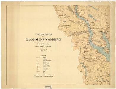
Spesielle kart 103-8: Flötningskart over Glommens vassdrag
1 : 1000 Einar Sigurd Ween
Kartblad 66: Vey-Cart over det Totenske Compagnie District
Niels Riis
Kartblad 68: Wey-Cart over det Yttre Valderske Compagnie District
Lauritz Nagel
Kartblad 67: Vey-Cart over det Landske Compagnie Destrigst
Neumann
Portefølje nr 39
1 : 100000
Portefølje nr 39
1 : 100000
25B Gjøvik
1 : 100000 Johan Nordhagen | Holm
25B Gjøvik
1 : 100000 Holm | Ole Engh
25B Gjøvik
1 : 100000 Ole Engh | Holm
25B Gjøvik
1 : 100000 Holm | Ole Engh
Kartblad 176-a: Det Nordre Totenske Compagnie District
E. Fougner
Spesielle kart 58-1: Kart over Drammenselvens Flødningsdistrikt
1 : 100000 Thurmann | Seip
5427 Randsfjord
1 : 100000
25D Lillehammer
1 : 100000 Einar Sigurd Ween | Johan Ferdinand Normann
F32 aust Nordre Land
1 : 100000
F32 aust Nordre Land
1 : 100000
F32 aust Nordre Land
1 : 100000
Geologiske kart 25: Den geologiske Undersøgelse, Gjøvik
1 : 100000 O. Hagen | P. Krohn | Holm | Theodor Kjerulf Norges geologiske undersøkelse
F32 aust Nordre Land
1 : 100000
25B Gjøvik
1 : 100000 Holm | Ole Engh
Spesielle kart 33: Christiania - Gjøvik-Banen
1 : 100000
1816-4 Dokka
1 : 50000 Norges Geografiske Oppmåling
1816-4 Dokka
1 : 50000 Statens kartverk
1816-1 Gjøvik
1 : 50000 Statens kartverk
F32-4
1 : 50000 Gunvald Hagene
Spesielle kart 34: Christiania - Gjøvik-Banen
1 : 100000
25B Gjøvik
1 : 100000
25B Gjøvik
1 : 100000 Holm | Ole Engh Dahls oppmåling
1816-4 Dokka
1 : 50000 Statens kartverk