Maps of Grue

20D Søndre Solør
1 : 100000 Arnt Magnus Andreassen Øgaard | H. Hagen
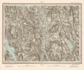
20D Søndre Solør
1 : 100000 Arnt Magnus Andreassen Øgaard | H. Hagen
20D Søndre Solør
1 : 100000
20D Søndre Solør
1 : 100000 C. Pedersen | Arnt Magnus Andreassen Øgaard
20D Søndre Solør
1 : 100000 C. Pedersen | Arnt Magnus Andreassen Øgaard Brødr. Christiansen
20D Søndre Solør
1 : 100000 Arnt Magnus Andreassen Øgaard | C. Pedersen
2015-1 Brandval
1 : 50000 Statens kartverk
2015-1 Brandval
1 : 50000 Norges Geografiske Oppmåling
2015-1 Brandval
1 : 50000 Norges Geografiske Oppmåling
Trigonometrisk grunnlag, vedlegg 3 Fundament Kaartover den Østre Halvdeel af Qvadrat Milen No 120
1 : 10000
2015-4 Odalen
1 : 50000 Norges Geografiske Oppmåling
2015-4 Skarnes
1 : 50000 Statens kartverk
2015-4 Odalen
1 : 50000 Norges Geografiske Oppmåling
2015-1 Brandval
1 : 50000 Norges Geografiske Oppmåling
2015-1 Brandval
1 : 50000 Statens kartverk
2015-1 Brandval
1 : 50000 Statens kartverk
Trigonometrisk grunnlag, vedlegg 33: Fundament Mensul til Quadrat-Miilen No 123
1 : 10000 Johan Henrich Ramm | N. S. Darre
20D 6
1 : 50000 Thorvald Prydz
20D 5
1 : 50000 Johannes Solem
20D 2
1 : 50000 Thorvald Prydz
20D 7
1 : 50000 Bull
20D 4
1 : 50000 Daniel Tønnesen
20D 1
1 : 50000 Myhre | Friis
20D 8
1 : 50000 Wilhelm Ernst Ramm Gran
2015-4 Odalen
1 : 50000 Statens kartverk
2015-4 Odalen
1 : 50000 Norges Geografiske Oppmåling
20D 10
1 : 50000 Thorvald Johan Randin Johannessen
Trigonometrisk grunnlag, vedlegg 32: Fundament Mensul til Quadrat Miilen No 122
1 : 10000 N. S. Darre | Johan Henrich Ramm
20D 1
1 : 50000 Jens Munthe Dahl