Project
Community
News
My maps
Cataloged map
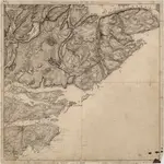
5D 12 8B 4 9A 1
Full title:
5D 12 8B 4 9A 1
Map scale:
1:50 000
History