Maps of Høylandet

54C 9
1 : 50000 Emil Adolf Eriksen
1824-4 Kongsmoen
1 : 50000 Norges Geografiske Oppmåling
1824-4 Kongsmoen
1 : 50000 Statens kartverk
1824-4 Kongsmoen
1 : 50000 Statens kartverk
1824-4 Kongsmoen
1 : 50000 Norges Geografiske Oppmåling
1824-4 Kongsmoen
1 : 50000 Statens kartverk
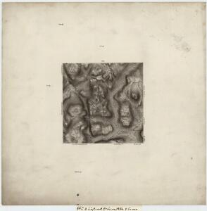
Geologisk kart 97: Trones
1 : 100000 Steinar Foslie Norges geologiske undersøkelse
54C Trones
1 : 100000
54C Trones
1 : 100000 Johan Gulbrandsen Natrud | Johan Nordhagen
54C Trones
1 : 100000 C. Pedersen | Johan Gulbrandsen Natrud
Geologisk kart 110: Trones
1 : 100000 Steinar Foslie Norges geologiske undersøkelse
54C Trones
1 : 100000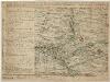
Kartblad 90-2: Cituations Carte over det Overhaldske Præstegield og Major F. H. Sommerschields Compagnie; versjon 2
Henrich Christopher Sommerschield
Norge 55-12: Accurat landcaart over Norges Rige anden Part
1 : 3000000 G. Bordin
Liene
1 : 250000
Kartblad 90- Cituations Carte over det Overhaldske Præstegield og Major F. H. Sommerschields Compagnie; versjon 1
Henrich Christopher Sommerschield
Statistikk 43-18- Bosettingskart over Grogn. Blad 18
1 : 250000 Statistisk Sentralbyrå
Statistikk 43-18-2: Bosettingskart over Grong. Blad 18
1 : 250000 Statistisk Sentralbyrå
Kartblad 9 Situations Carte over Nummedahls Fogderi. Med Nærøeske; Fosnæske og Overhaldske Kartblad : Compagnie Districter
Henrich Christopher Sommerschield
Trigonometrisk grunnlag, Squelet-Cart 38: Trigonometrisk Kart for 1829
1 : 400000 Vibe
Kartblad 71a vest: Carte over det 1. Trondhiemsche Regiment tillige med de 3 Nordenfi: Skieløber Compagniers Situation; kopi vestre del
Isach Jørgen Coldevin
Statistikk 43-19- Bosettingskart over Mosjøen. Blad 19
1 : 250000 Statistisk Sentralbyrå
XVIII
1 : 400000 N. Franck
Spesielle kart 122-9: Postkart over Norge
1 : 400000 Toralf à ̃yen
Kartblad 73: Cartha over det Første Trundhiæmsche Regiments District
F. Klüwer
XVIII
1 : 400000 N. Franck
Statistikk 38-9: Bosettingskart over Norge. Blad 9
Statistisk Sentralbyrå
Kartblad 75: Situationskart over det Første Throndhiemske Infanteriregiments District
Hendrich Christoffer Eckleff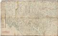
Kartblad 7 Carte over det 1. Trondhiemsche Regiment tillige med de 3 Nordenfi: Skieløber Compagniers Situation.
Isach Jørgen Coldevin