Maps of Melhus

46B 1; 46B 2; 46B 5; 46B 6
1 : 50000 Fredrik Christian Sejersted
1521-2 Hölonda
1 : 50000 Norges Geografiske Oppmåling
1521-2 Hølonda
1 : 50000 Statens kartverk
1521-2 Orkland
1 : 50000 Norges Geografiske Oppmåling
1521-2 Hølonda
1 : 50000 Statens kartverk
1521-2 Hølonda
1 : 50000 Statens kartverk
Kartblad nr 2b: Kaart over Postveien fra Trondheim til Røraas
1 : 20000 J. H. Reichborn
46B 1; 46B 2; 46B 3; 46B 4; 46B 5; 46B 6; 46B 7; 46B 8
1 : 50000 Fredrik Christian Sejersted
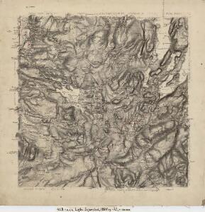
46B Melhus
1 : 100000
46B Melhus
1 : 100000 C. Pedersen | Arnt Magnus Andreassen Øgaard
46B Melhus
1 : 100000 C. Pedersen | Arnt Magnus Andreassen Øgaard
46B Melhus
1 : 100000
46B Melhus
1 : 100000
46B Melhus
1 : 100000 C. Pedersen | Arnt Magnus Andreassen Øgaard
46B Melhus
1 : 100000 C. Pedersen | Arnt Magnus Andreassen Øgaard
46B Melhus
1 : 100000 Arnt Magnus Andreassen Øgaard | C. Pedersen
46B Melhus
1 : 100000 C. Pedersen | Arnt Magnus Andreassen Øgaard
Kartblad 103: Carte over det Budwigske Compagnie District
Ræder
Kartblad 100: Kart over det Ørkedahlske Compagnie District
O. Krabbe
Geologisk kart 107: Løkken-feltet
1 : 50000 C. W. Carstens
Fra Hovin til Fornes
1 : 20000 J. H. Reichborn
Kartblad 94: Wey-Carte over det Melhusiske Compagnie District

42D 9
1 : 50000 Erik Andreas Colban
Fra Støren hovedkirke til Krokstad
1 : 20000 J. H. Reichborn
42D-11-nv
1 : 10000 Køppen
42D-11-nv
1 : 10000 Køppen
Kartblad nr 14 og 3: Kaart over Postveien fra Korsødegaarden til Trondhjem igjennom Gulbrandsdalen over Dovrefjeld
1 : 20000 J. H. Reichborn
42D-11-nv
1 : 10000 Køppen
Geologiske kart 15: Den geologiske Undersøgelse, Melhus
1 : 100000 Theodor Kjerulf | J. Vogt | H. T. Bjørnstad | M. Bugge | C. Schultz Norges geologiske undersøkelse