Maps of Røros

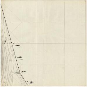
43B-3-nø
1 : 10000 Friderich Georg Beichmann
43B-3-nv
1 : 10000 Friderich Georg Beichmann
43B-3-nø
1 : 10000 Friderich Georg Beichmann
43B-3-sø
1 : 10000 Friderich Georg Beichmann
43B-3-sø
1 : 10000 Friderich Georg Beichmann
43B 2; 43B 3
1 : 100000 Frithjof Jacobsen
43B Aursunden
1 : 100000
43B Aursunden
1 : 100000 H. C. Wanggård | Daniel Tønnesen
43B Aursunden
1 : 100000 Daniel Tønnesen | H. C. Wanggård
43B Aursunden
1 : 100000
43B Aursunden
1 : 100000
43B Aursunden
1 : 100000 Daniel Tønnesen | Johan Nordhagen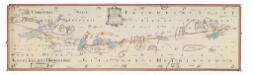
NRA GA 8
Thodal | Hiarne | Holm | Marelius | Bautz | Ratkind
43B Aursunden
1 : 100000 Daniel Tønnesen | H. C. Wanggård
Portefølje nr 65
1 : 100000 Schilling
Portefølje nr 65
1 : 100000 Schilling
Geologisk kart 73: Aursunden
1 : 100000 Rolf Falck-Muus Norges geologiske undersøkelse
Kartblad 166b-4: Wej-Cart over det Aamodske Compagnie; 166b-4

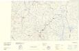
Røros
1 : 250000
Geologisk kart 92: Kvartærgeologisk kart, Røros
1 : 250000 Gunnar Holmsen Norges geologiske undersøkelse
Trigonometrisk grunnlag, Squelet-Cart 65-14

Norge 55- Accurat landcaart over Norges Rige anden Part
1 : 300000 G. Bordin
Røros
1 : 250000
Vonsjøen
1 : 250000
Geologiske kart 22: Geologisk kart over det østlige af Hamar Stift
1 : 400000 O. E. Schiøtz Norges geologiske undersøkelse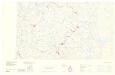
Statistikk _43-14-2: Bosettingskart over Røros. Blad 14.
1 : 250000
Spesielle kart: Tyngdeanomalikart, RÃ ̧ros
1 : 250000 NGO
Geologisk kart over det Söndenfjeldske Norge
1 : 400000 Nordost-Blatt Kjerulf, Theodor ; Dahll, Tellef Carl Schwenzens
Geologisk kart 109: Røros
1 : 250000 Gunnar Holmsen Norges geologiske undersøkelse