Maps of Sør-Trøndelag

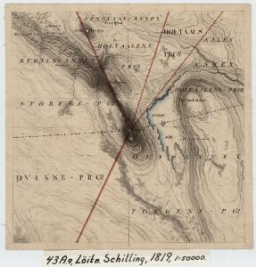
43A 9
1 : 50000 Schilling
Portefølje nr 71
1 : 50000
43A 9
1 : 50000 Thorlak Aas
Spesielle kart 113-3: Oversigtskart over de forskjellige Grænsealternativer mellem Trondhjems Stift og Hamar og Bergens Stifter
1 : 100000 J. Sejersted
1620-2 Dalsbygda
1 : 50000 Statens kartverk
1620-2 Forollhogna
1 : 50000 Statens kartverk
1620-2 Vangröftdalen
1 : 50000 Norges Geografiske Oppmåling
1620-2 Dalsbygda
1 : 50000 Norges Geografiske Oppmåling
43A Røros
1 : 100000 Johan Nordhagen | Harald Ingvar Johannessen
43A Røros
1 : 100000
43A Røros
1 : 100000
43A Røros
1 : 100000 Harald Ingvar Johannessen | Ole Engh
43A Røros
1 : 100000 Harald Ingvar Johannessen | Ole Engh
42B 8; 42B 12
1 : 50000 Johannes Sejersted | Emil Adolf Eriksen
42B 11; 42B 12; 42D 3; 42D 4
1 : 50000 Halvor Sejersted
1620-1 Haltdalen
1 : 50000 Statens kartverk
43A 5
1 : 50000 Thorlak Aas
43C 1
1 : 50000 Johan Lauritz Bull
43A 10
1 : 50000 Oluf Holm
43A-10-nv
1 : 10000
42B 2; 42B 3; 42B 5; 42B 6; 42B 7; 42B 8; 42B 9; 42B 10; 42B 11; 42B 12; 42D 2; 42D 3; 37D 10
1 : 100000 Ramm
Portefølje nr 71
1 : 100000 Munthe
Portefølje nr 71
1 : 100000 Munthe
Sammensetning av deler av følgende kart utgitt av Norges geografiske oppmåling
1 : 100000
Spesielle kart 22-2: Tyvold - Rognæs
1 : 400000 Albert Cammermeyer Forlag
Spesielle kart 22-3: Tønset - Røros
1 : 400000 Albert Cammermeyer Forlag
Spesielle kart 103-1: Flötningskart over Glommens Vassdrag
1 : 1000 Einar Sigurd Ween
Kartblad 166b-1a: Wej-Cart over det Aamodske Compagnie; 166b-1a

Norge 55-6: Accurat landcaart over Norges Rige anden Part
1 : 300000 G. Bordin