Maps of Alvdal

38A 5 sø
1 : 10000 Ramm | Mogens Brynie
38A 5 øst
1 : 10000 Ramm | Mogens Brynie
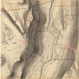
Mil nr 291
1 : 10000
1918-4 Hanestad
1 : 50000
1918-4 Hanestad
1 : 50000 Statens kartverk
1918-4 Hanestad
1 : 50000 Norges Geografiske Oppmåling
Langs Tysla til Langmyra
1 : 20000 J. H. Reichborn
38A 1 øst
1 : 10000 Ramm | Mogens Brynie
Mil nr 292
1 : 10000 Friderich Georg Beichmann | Johan Friderich Næser
38A 6 vest
1 : 10000 Friderich Georg Beichmann | Johan Friderich Næser
Mil nr 281
1 : 10000 Eilert Woldemar Preben Ramm | Mons (Mogens) Brynie
38A 1 øst
1 : 10000 Ramm | Mogens Brynie
38A 5 sv
1 : 10000 Ramm | Mogens Brynie
38A 1; 38A 5
1 : 50000 Haakon Schive
1918-4 Hanestad
1 : 50000 Statens kartverk
1918-4 Hanestad
1 : 50000 Statens kartverk
38A Øvre Rendalen
1 : 100000 B. Tolstad | Einar Sigurd Ween
38A Øvre Rendal
1 : 100000 Einar Sigurd Ween | B. Tolstad
38A Øvre Rendalen
1 : 100000 B. Tolstad | Einar Sigurd Ween
Geologisk kart 90: Øvre Rendal
1 : 100000 Gunnar Holmsen | Chr. Oftedahl Norges geologiske undersøkelse
38A Øvre Rendal
1 : 100000 Einar Sigurd Ween | B. Tolstad
Portefølje nr 56
1 : 100000 Munthe
Portefølje nr 56
1 : 100000 F. Akrell
Portefølje nr 56
1 : 100000 Munthe
Spesielle kart 22-4: Koppang - Lilleelvdal
1 : 400000 Albert Cammermeyer Forlag
Hedemarkens amt nr 74: Carte over Tønset Hoved Sogn

Spesielle kart 103-4: Flötningskart over Glommens vassdrag
1 : 1000 Einar Sigurd Ween
Kartblad 166b-2: Wej-Cart over det Aamodske Compagnie; 166b-2

Østerdalen
1 : 250000