Maps of Våler

26D 2 nv
1 : 10000
Mil nr 185
1 : 10000
26D 2 vest
1 : 10000 Nerenst
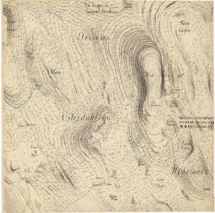
Trigonometrisk grunnlag, vedlegg 49: Fundament Mensul til Qvadrat Miilen No 185
1 : 10000 Johan Henrich Ramm | Hans Lemmich Juell
26D 1; 26D 2; 26D 6
1 : 50000 Wilhelm Ernst Ramm Gran
26D 2 sø
1 : 10000
26D 2 sv
1 : 10000
Mil nr 195
1 : 10000 Johan Henrich Ramm | Eilert Woldemar Preben Ramm
Mil nr 184
1 : 10000
26D 2 øst
1 : 10000 Nerenst
2017-3 Julussa
1 : 50000 Norges Geografiske Oppmåling
2016-1 Kynna
1 : 50000 Statens kartverk
26D søndre Osen
1 : 100000 Arnt Magnus Andreassen Øgaard | Ole Engh
26D søndre Osen
1 : 100000
26D søndre Osen
1 : 100000
26D søndre Osen
1 : 100000 Ole Engh | Arnt Magnus Andreassen Øgaard
Tysk kart over Osen (Sonderausgabe IV. 1940)
1 : 100000
Portefølje nr 41
1 : 100000 Schilling
Portefølje nr 41
1 : 100000 Schilling
Portefølje nr 41
1 : 100000 Schilling
Portefølje nr 41
1 : 100000 Schilling
2016-1 Kynna
1 : 50000 Norges Geografiske Oppmåling
Kartblad 163 vest: Det Elverumske Skjeløber Compagnie; vestre del

Spesielle kart 22-6: Rena - Stai
1 : 400000 Albert Cammermeyer Forlag
Spesielle kart 22: Nordbanerne
1 : 400000 Albert Cammermeyer Forlag
Kartblad 163 øst: Det Elverumske Skjeløber Compagnie; østre del

Spesielle kart 103-9: Flötningskart over Glommens vassdrag
1 : 1000 Einar Sigurd Ween
Kartblad 166b-3: Wej-Cart over det Aamodske Compagnie; 166b-3

Spesielle kart nr 109: Kart over Tryssilbanens forskjellige alternativer
1 : 200000 Finn Abrahamson Kross | C. P. Bruun | Carl Pedersen | Ole Engh