Maps of Nannestad

20A 9
1 : 20000 O. Lund | Stockfleth
Spesielle kart 153: Kartvedlegg til innstilling om skolekretsinndeling i Nannestad
1 : 50000 Norges Geografiske Oppmåling
1915-4 Hurdal
1 : 50000 Norges Geografiske Oppmåling
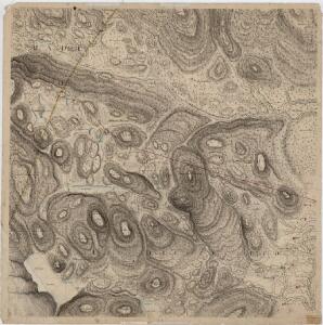
Trigonometrisk grunnlag, vedlegg 23: Fundament Kaart over Qvadrat Milene No 105 og 106
1 : 50000
Trigonometrisk grunnlag, vedlegg 30: Fundament Tabel Quadrat-Miilen No 116 og 117
1 : 10000
Trigonometrisk grunnlag, vedlegg 58
1 : 50000
20A Nannestad
1 : 100000 Johan Ferdinand Normann | Carl Christian Olberg
20A Nannestad
1 : 100000 Johan Ferdinand Normann | Carl Christian Olberg
20A Nannestad
1 : 100000 Johan Ferdinand Nordmann | Ole Engh
20A Nannestad
1 : 100000 Johan Ferdinand Normann | Carl Christian Olberg
19B 8; 19B 12
1 : 50000 Per Tang | Oscar Thue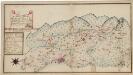
Kartblad 173: Situations Chart over det Nannestadske Captain Hans Abelsteds andfortroede Dragoner Compagni District
C. A. Hiorth
1915-3 Nannestad
1 : 50000 Statens kartverk
1915-3 Nannestad
1 : 50000 Statens kartverk
1915-3 Nannestad
1 : 50000 Statens kartverk
19B 12
1 : 50000 Haakon Schive
19B 8
1 : 50000 Kaare Kvisgaard
Kartblad 4 Cituations-Cart over det Edsvoldske Compagnies Distrigt
Neumann
19B 8
1 : 50000 Einar Halle
Skikart over Oslo Nordmark
1 : 50000 Norges geografiske Opmåling
1915-3 Nannestad
1 : 50000 Norges Geografiske Oppmåling
1915-3 Nannestad
1 : 50000 Norges Geografiske Oppmåling
1915-3 Nannestad
1 : 50000 Norges Geografiske Oppmåling
Skikart over Oslo Nordmark
1 : 50000 Norges geografiske Opmåling
Nordmarka
1 : 50000 Norges geografiske Opmåling
1915-4 Hurdal
1 : 50000 Norges Geografiske Oppmåling
1915-4 Hurdal
1 : 50000 Norges Geografiske Oppmåling
1915-4 Hurdal
1 : 50000 Statens kartverk
1915-4 Hurdal
1 : 50000 Statens kartverk