Maps of Jevnaker

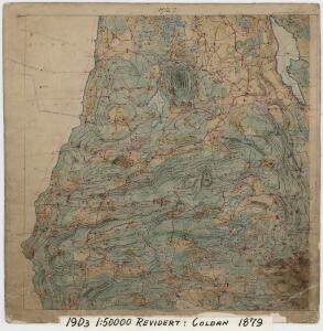
19D 3
1 : 50000 C. Lund | Erik Andreas Colban
1815-1 Gran
1 : 50000 Statens kartverk
1815-1 Gran
1 : 50000 Statens kartverk
1815-1 Gran
1 : 50000 Statens kartverk
1815-1 Gran
1 : 50000 Norges Geografiske Oppmåling
G34-9
1 : 50000 Johannes Oliver Smith
G34-7; G34-8
1 : 50000 Toralf Øyen
1815-1 Gran
1 : 50000 Norges Geografiske Oppmåling
1815-1 Gran
1 : 50000 Norges Geografiske Oppmåling
1815-1 Gran
1 : 50000 Statens kartverk
19D Gran
1 : 100000 C. Pedersen | Arnt Magnus Andreassen Øgaard | Ole Tolstad
Kartblad 64: Cart over det Hadelandske Compagnie District
von Leffelmann
19D Gran
1 : 100000
19D Gran
1 : 100000 Arnt Magnus Andreassen Øgaard | Carl Christian Olberg
19D Gran
1 : 100000 Arnt Magnus Andreassen Øgaard | Carl Christian Olberg
19D Gran
1 : 100000 Arnt Magnus Andreassen Øgaard | Ole Tolstad | C. Pedersen
19D Gran
1 : 100000 Carl Christian Olberg | Arnt Magnus Andreassen Øgaard
19B 11; 19B 12
1 : 50000 Toralf Øyen
19B 12
1 : 50000 Haakon Schive
19B 11
1 : 50000 Toralf Øyen
19B 11
1 : 50000 C. Lund
19D 4
1 : 50000 Erik Andreas Colban | C. Lund
19D Gran
1 : 100000 Arnt Magnus Andreassen Øgaard | C. Pedersen | Ole Tolstad
Spesielle kart 35: Oversigtskart over de mellem Christiania og Hadeland udstukne Linier
1 : 100000
5427 Randsfjord
1 : 100000
Portefølje nr 31
1 : 100000 Aubert
Portefølje nr 31
1 : 100000 Aubert
Kartblad 6 Cart over det Ringerigske Compagnie District
C. F. Møllerop
Spesielle kart 58-2: Kart over Drammenselvens Flødningsdistrikt
1 : 100000 Thurmann | Seip