Project
Community
News
My maps
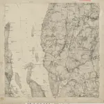
Carte cataloguée
14D 3 øst; 14D 4 vest
Titre complet:
14D 3 øst; 14D 4 vest
Échelle de la carte:
1:25 000
L'histoire