Project
Community
News
My maps
Gecatalogiseerde kaart
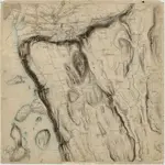
14D 12 sø
Volledige titel:
14D 12 sø
Fysieke grootte:
20 x 30 cm
Schaal kaart:
1:10 000
Geschiedenis