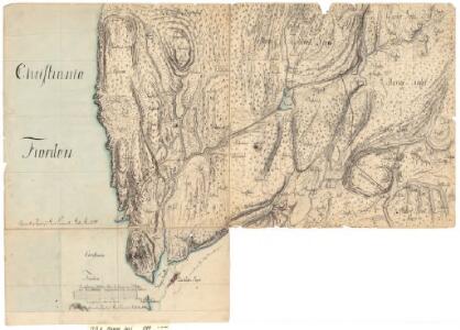
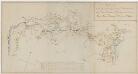
Maps of Vestby
14B-8
1 : 10000 Gustav Adolph von Wahrendorff
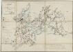
14B 8
1 : 20000 Hans Øvergaard
14B-8
1 : 10000 Gustav Adolph von Wahrendorff
Mil nr 39
1 : 10000 Ramm
Mil nr 39
1 : 10000 Gustav Adolph von Wahrendorff | Ramm | Hans Lemmich Juell
14B 8 nø
1 : 25000 Vilhelm C. M. Ødegaard
14B 8 nv
1 : 25000 Vilhelm C. M. Ødegaard
Trigonometrisk grunnlag, vedlegg 12: Fundament Mensul til Deel af Qvadrat-Miilen Nomer 39
1 : 20000 Hans Lemmich Juell | Carl Wendel Bremer
Jegerkorps nr 11A: Kart over Aas, Krogstad, Vestby, Hob og Vaaler, øst
1 : 13000
Jegerkorps nr 11A: Kart over Aas, Krogstad, Vestby, Hob og Vaaler, vest
1 : 13000
14B 8 sør
1 : 25000 Vilhelm C. M. Ødegaard
14B 8 sø
1 : 25000 Vilhelm C. M. Ødegaard
14B 7 nø
1 : 20000 Bull
Kartblad 11- Wey-Cart over det Haabbelske Compagnie District, versjon 1
Kartblad 11-2: Wey-Cart over det Haabbelske Compagnie District, versjon 2
Kartblad 9- Vej-Kart over det Ryggiske Compagnie District; versjon 1
Eilert Rosenwinge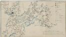
Kartblad 9-2: Vej-Kart over det Ryggiske Compagnie District; versjon 2
Eilert Rosenwinge
Portefølje nr 16
1 : 100000
14B Moss
1 : 100000 E. Heiberg | H. N. Bergh
14B Moss
1 : 100000
14B Moss
1 : 100000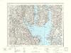
14B Moss
1 : 100000
14B Moss
1 : 100000
14B Moss
1 : 100000 H. N. Bergh | E. Heiberg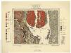
Geologiske kart 70: Norges geologiske undersøkelse. Kristianiafeltet-Moss
1 : 100000 W. C. Brøgger | Jakob Schetelig Norges geologiske undersøkelse
14B Moss
1 : 100000
1814-2 Dröbak
1 : 50000 Norges Geografiske Oppmåling
Kartblad 35: Veikaart over det Søndre Follougske Compagnie District
Larsen
1914-3 Ski
1 : 50000 Statens kartverk