Maps of Melhus

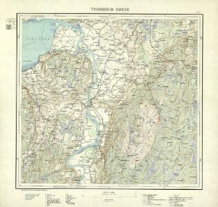
Trondheim omegn
1 : 25000 NGO
Fra Kvål til Nordre Jaktøya
1 : 20000 J. H. Reichborn
G25-7-nv/6
1 : 25000 Thorleif Dagfinn Unneberg
G25-7-nø/6
1 : 25000 Erling Bjørstad
G25-7-mø/6
1 : 25000 Alf Hattestad
F25-12-mø/6, G25-7
1 : 25000 Alf Hattestad
F25-12-nø/6
1 : 25000 Gustav Adolf Tajet
G25-8-vm/6
1 : 25000 Erling Bjørstad
Kartblad 177: Kort over Konge- Post- og Alfar-Weiene igjennem det Melhusske Compagnie under det Trondhiemske Dragonregiment
1 : 60000
46B 11; 46B 12; 46D 3; 46D 4
1 : 50000 Reinhold Ziegler
Kartblad 178: Kart over Konge- Post- og Alfar-Weiene igiennom det Byenæsiske Compagnie under det Trondhiemske Dragonregiment
1 : 60000
Kartblad 94: Wey-Carte over det Melhusiske Compagnie District

G25-8-øm/6
1 : 25000 Otto Nyquist
G24-1-sø/4
1 : 25000 Roar Sæbø
F24-6-sø/6, G24-1-sv/6
1 : 25000 Andreas Theodor Walle
G24-2-sv/6
1 : 25000 Erling Bjørstad
Fra Nypan til Trondheim
1 : 20000 J. H. Reichborn
G25-8-nv/6
1 : 25000 Bundli | Alf Hattestad
G25-8-nø/6
1 : 25000 Alf Hattestad
Kartblad nr 1b: Kaart over Postveien fra Trondheim til Røraas
1 : 20000 J. H. Reichborn
Melhus med omegn
1 : 25000 Reinhold Ziegler
Kartblad 95: Det Stadsbøidiske Compagnie District

Geologiske kart 15: Den geologiske Undersøgelse, Melhus
1 : 100000 Theodor Kjerulf | J. Vogt | H. T. Bjørnstad | M. Bugge | C. Schultz Norges geologiske undersøkelse
1621-4 Trondheim
1 : 50000 Norges Geografiske Oppmåling
1621-4 Trondheim
1 : 50000 Statens kartverk
1621-4 Trondheim
1 : 50000 Statens kartverk
46B Melhus
1 : 100000
46B Melhus
1 : 100000 C. Pedersen | Arnt Magnus Andreassen Øgaard
46B Melhus
1 : 100000 C. Pedersen | Arnt Magnus Andreassen Øgaard