Maps of Rennebu

Kartblad nr 13 og 4: Kaart over Postveien fra Korsødegaarden til Trondhjem igjennom Gulbrandsdalen over Dovrefjeld
1 : 20000 J. H. Reichborn
Fra Fagerhaugen til Langklopp
1 : 20000 J. H. Reichborn
Fra Heverliin til Berkåk
1 : 20000 J. H. Reichborn
42B 10 skisse
1 : 20000
1520-2 Innset
1 : 50000 Statens kartverk
1520-2 Innset
1 : 50000 Norges Geografiske Oppmåling
42A 8; 42A 12; 42B 5; 42B 9
1 : 50000 Johan Lauritz Bull
Spesielle kart 113-3: Oversigtskart over de forskjellige Grænsealternativer mellem Trondhjems Stift og Hamar og Bergens Stifter
1 : 100000 J. Sejersted
1520-2 Innset
1 : 50000 Statens kartverk
1520-2 Innset
1 : 50000 Norges Geografiske Oppmåling
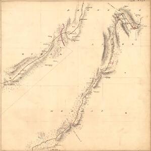
Kartblad 106: Carte over det Renneboiske Compagnie District

42D Rennebu
1 : 100000
1520-1 Rennebu
1 : 50000 Norges Geografiske Oppmåling
1520-1 Rennebu
1 : 50000 Statens kartverk
1520-1 Rennebu
1 : 50000 Statens kartverk
42B Kvikne
1 : 100000 F. Jacobsen | C. Pedersen
42B Kvikne
1 : 100000
42B Kvikne
1 : 100000 F. Jacobsen | H. Hagen
42B Kvikne
1 : 100000
42B Kvikne
1 : 100000 F. Jacobsen | Ole Engh
42B Kvikne
1 : 100000 F. Jacobsen | C. Pedersen
42D 1; 42D 2; 45D 5
1 : 50000
42B 6; 42B 7; 42B 10; 42B 11
1 : 50000 Johannes Sejersted | Emil Adolf Eriksen
42D Rennebu
1 : 100000
42D Rennebu
1 : 100000
42D Rennebu
1 : 100000 Torgrim Lundtvedt | Nicolai Franck
42D Rennebu
1 : 100000 Torgrim Lundtvedt | Nicolai Franck
42D Rennebu
1 : 100000 Torgrim Lundtvedt | Ole Engh
42D Rennebu
1 : 100000 Ole Engh | Torgrim Lundtvedt