Maps of Ullensvang herad

Museumskart 82: Hardangerfjorden
1 : 100000
Museumskart 217-42: Specialkart over Hardangerfjorden. Østre del.
1 : 100000 M. T. Kingo | R. M. Petersen | H. N. Bergh Den Geografiske Opmaaling
C34 nø/4
1 : 100000 Hjalmar Skaar
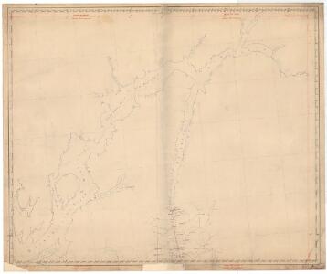
Kartblad 129: Situations Cart over det Nordre Sündhordlehnske Compagnie District
Severin Wincentz Segelcke
Portefølje nr 27
1 : 100000 E. Lund
Museumskart 217-4 Specialkart over Hardangerfjorden. Vestre del.
1 : 100000 M. T. Kingo | H. N. Bergh | R. M. Petersen Den Geografiske Opmaaling
C33-4; C33-5; C34-10; C34-11
1 : 100000 Johannes Oliver Smith
Sammensetning av deler av følgende kart utgitt av Norges geografiske oppmåling
1 : 100000
C34 vest Folgefonni
1 : 100000
C34 vest Folgefonni
1 : 100000
B34 aust Standebarm
1 : 100000
17B 1; 17B 2; 17B 5; 17B 6; 17B 9; 17B 10; 17B 11; 17D 1; 17D 2; 17D 3
1 : 100000 H. Schauffenberg
Kartblad 137- Weie-Cort over det Søndre Hardangerske Compagnie District; a
Niels Henrich Bredal
C34 vest Folgefonni
1 : 100000
B33-5
1 : 50000 Thorolv Ingar Ween
1315-1 Ullensvang
1 : 50000 Statens kartverk
B34 aust Standebarm
1 : 100000
1215-1 Norheimsund
1 : 50000 Statens kartverk
1315-4 Jondal
1 : 50000 Statens kartverk
1315-1 Ullensvang
1 : 50000 Statens kartverk
B34-11
1 : 50000 Kjeld Andreas Bugge
1315-4 Jondal
1 : 50000 Statens kartverk
1215-1 Norheimsund
1 : 50000 Statens kartverk
1315-1 Kinsarvik
1 : 50000 Statens kartverk
B34 aust Standebarm
1 : 100000
1315-3 Odda
1 : 50000 Statens kartverk
1215-2 Varaldsøy
1 : 50000
1315-2 Ringedalsvatnet
1 : 50000 Statens kartverk
C34 vest Folgefonni
1 : 100000