Project
Community
News
My maps
Mapa catalogado
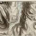
Mil nr 240
Título completo:
Mil nr 240
Escala do mapa:
1:10 000
História