Maps of Lebesby

X4 Laksefjordvidda
1 : 100000
X4 Laksefjordvidda
1 : 100000
X4 Laksefjordvidda
1 : 100000
X4 Laksefjordvidda
1 : 100000
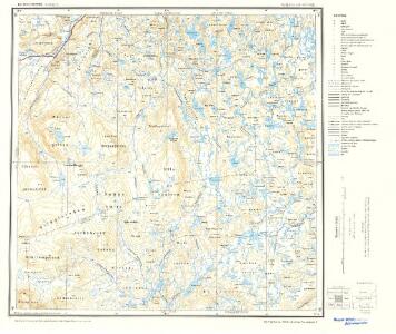
2135-2 Ul'lugai'sa
1 : 50000 Statens kartverk
95C 10; 101A 2
1 : 100000 Johan Ferdinand Normann
2135-2 Ul'lugai'sa
1 : 50000 Norges Geografiske Oppmåling
2135-2 Ullogáisá
1 : 50000 Statens kartverk
X4
1 : 100000 Kaare Kvisgaard | Axel P. Printz
2135-1 Adamsfjord
1 : 50000 Statens kartverk
2135-1 Adamsfjord
1 : 50000 Norges Geografiske Oppmåling
101A 6; 101A 10
1 : 100000 Jens Sigurd Martin Jenssen
2135-3 Ræt'kajåkskai'di
1 : 50000 Statens kartverk
2235-3 Sir'bma
1 : 50000 Statens kartverk
2235-3 Sirbmá
1 : 50000 Statens kartverk
2235-3 Sirbmá
1 : 50000 Statens kartverk
2235-3 Sir'bma
1 : 50000 Norges Geografiske Oppmåling
2235-3 Sirma
1 : 50000 Norges Geografiske Oppmåling
2135-3 Rietkajokskaidde
1 : 50000 Norges Geografiske Oppmåling
2135-3 Ræt'kajåkskai'di
1 : 50000 Norges Geografiske Oppmåling
2135-3 Reatkajohskáidi
1 : 50000 Statens kartverk
2135-1 Adamsfjord
1 : 50000 Statens kartverk
2135-1 Adamsfjord
1 : 50000 Norges Geografiske Oppmåling
2135-1 Adamsfjord
1 : 50000 Statens kartverk
Finmarkens amt nr 6: Situations Kort over Finmarken og dens Grændser
1 : 600000 H. J. Broch
Statistikk 43-31-2: Bosettingskart over Honningsvåg. Blad 31
1 : 250000 Statistisk Sentralbyrå
Statistikk 43-31- Bosettingskart over Honningsvåg. Blad 31
1 : 250000 Statistisk Sentralbyrå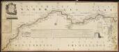
NRA GA 23
Wetterstedt | Thodal | Halldin | Krogh | Wessaman | Holm
Y4 Polmak
1 : 100000 Arnt Magnus Andreassen Øgaard | H. C. Wanggård