Maps of Nordkapp

W1 sørvestre del
1 : 50000 Carl Ludvig Soelberg | David Ebbesen
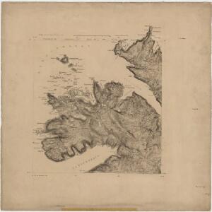
2037-2 Nordkapp
1 : 50000 Norges Geografiske Oppmåling
2037-2 Nordkapp
1 : 50000 Statens kartverk
2037-2 Nordkapp
1 : 50000 Norges Geografiske Oppmåling
2037-2 Nordkapp
1 : 50000 Statens kartverk
2037-2 Nordkapp
1 : 50000 Statens kartverk
W1 Nordkap
1 : 100000 Ole Engh | Torgrim Lundtvedt
W1 Nordkap
1 : 100000 Ole Engh | Torgrim Lundtvedt
W1 Nordkap
1 : 100000
W1 Nordkap
1 : 100000 Ole Engh | Torgrim Lundtvedt
W1 Nordkap
1 : 100000 Ole Engh | Torgrim Lundtvedt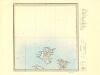
V1 Hjelmsøy
1 : 100000 Ole Bernhard Tolstad | Carl Christian P. Olberg
V1 Hjelmsø
1 : 100000 Ole Bernhard Tolstad | Carl Christian P. Olberg
V1 Hjelmsø
1 : 100000 Ole Bernhard Tolstad | Carl Christian P. Olberg
V1 sørøstre del
1 : 50000 Finn Qvale | Johan Ingolf Koren Lorange
W2 nordvestre del
1 : 50000 Erling Bjørstad
2037-3 Hjelmsöya
1 : 50000 Norges Geografiske Oppmåling
2037-3 Hjelmsöy
1 : 50000 Norges Geografiske Oppmåling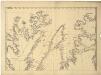
Statistikk 36-2 nord: Ethnigrafisk Kart over Finmarkens Amt No 2
1 : 200000 Jens Andreas Friis
Museumskart 144: Kart over Den Norske Kyst fra Sørøen til Nordkap
1 : 200000 Klouman | Hagerup | Due | Vibe | Rynning
Finmarkens amt 54b(2): Kart over Loppens Præstegd. eller Loppens og Hasvigs Sogne
1 : 200000 Gerhard Munthe, Fredrik Rode
Museumskart 217-17: Kart over Den Norske Kyst fra Sørøen til Nordkap
1 : 50000 Due | Hagerup | Rynning | Vibe | Klouman | G. L. Fehr Opmaalings Directionen
Museumskart 190: Kart ovèr den norske kyst fra söröen til nordkap
1 : 200000 Vibe
Geologiske kart 121-V Kart med magnetisk totalfelt. Nordkapp
1 : 250000 Norges geologiske undersøkelse
Finmarkens amt 54e(3): kart over Alten-Talvigs Sogne
1 : 200000 Gerhard Munthe, Fredrik Rode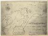
Finmarkens amt nr 58: Plan des environs de la colonne no 363 ou de Jakobsvig
1 : 8400 Mathias Andersen Ween
Statistikk 38-14: Bosettingskart over Finnmark og Troms. Blad 14
1 : 400000 Statistisk Sentralbyrå
Spesielle kart 122-14: Postkart over Norge
1 : 400000 Toralf à ̃yen
Spesielle kart 122-15: Postkart over Norge
1 : 400000 Toralf à ̃yen