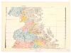
Maps of Kiruna kommun

R8-7
1 : 50000 Lyder Selvik | Krogh
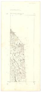
1632-4 Rostadalen
1 : 50000 Statens kartverk
1632-4 Rostadalen
1 : 50000 Statens kartverk
1632-4 Rostadalen
1 : 50000 Statens kartverk
1632-4 Rostadalen
1 : 50000 Norges Geografiske Oppmåling
Krokering nr 23
1 : 100000 Hagerup
R8-1
1 : 50000 Bay Berntsen | Torgeir Gundersen | Krogh
P8 Dividalen
1 : 100000
R8 Råstajav`ri
1 : 100000
1633-3 Signaldalen
1 : 50000 Statens kartverk
1633-3 Signaldalen
1 : 50000 Statens kartverk
1633-3 Signaldalen
1 : 50000 Statens kartverk
R7-1; R7-2
1 : 50000 Andreas Theodor Walle | Lars Rosland | N. Houge
R7-1; R7-2
1 : 50000 M. Gulbrandsen | Lyder Selvik | Bay Berntsen
R7-3; R7-4
1 : 50000 Andreas Theodor Walle | Houge
Krokering nr 26
1 : 100000 Hagerup
1633-3 Signaldalen
1 : 50000 Norges Geografiske Oppmåling
1633-3 Signaldalen
1 : 50000 Statens kartverk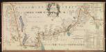
NRA GA 19
Thodal | Wetterstedt | Holm | Marelius | Krogh | Halldin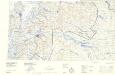
Statistikk 43-24- Bosettingskart over Narvik. Blad 24
1 : 250000 Statistisk Sentralbyrå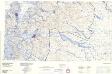
Statistikk 43-24-2: Bosettingskart over Narvik. Blad 24
1 : 250000 Statistisk Sentralbyrå
Spesielle kart 122-13: Postkart over Norge
1 : 400000 Toralf à ̃yen
Spesielle kart 122-12: Postkart over Norge
1 : 400000 Toralf à ̃yen
Statistikk 38-13: Bosettingskart over Finnmark og Troms. Blad 13
1 : 400000 Statistisk Sentralbyrå
Tysk kart over Tromsø (Deutsche Heereskarte - Europa)
1 : 500000
Statistikk 46-13: Bosettingskart over Norge
1 : 400000 Statistisk sentralbyrå
Statistikk 38-12: Bosettingskart over Troms og Nordland. Blad 12
1 : 400000 Statistisk Sentralbyrå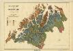
Geologisk kart 35: Geologisk kart over Tromsø Amt
1 : 400000 Karl Pettersen
Skogkart paa grundlag av det Hydrografiske kart, blad 7
1 : 500000 Kaptein K. Gleditsch