Maps of Førde

B30-5
1 : 50000 Alf Hattestad
1217-1 Holsen
1 : 50000 Norges geografiske oppmåling
1217-1 Holsen
1 : 50000 Statens kartverk
29C 2; 29C 6
1 : 50000 Henrik Lund
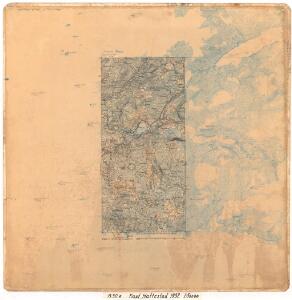
B30 aust Førde
1 : 50000
B30-4
1 : 50000 Hjalmar Skaar
B30-6
1 : 50000 Kaare Kvisgaard | N. Houge
1217-1 Holsen
1 : 50000 Norges Geografiske Oppmåling
1217-1 Holsen
1 : 50000 Statens kartverk
1217-1 Holsen
1 : 50000 Statens kartverk
B30 aust Førde
1 : 100000
B30 aust Førde
1 : 100000
29A 6; 29A 7; 29A 10; 29A 11
1 : 50000 Alexius Ræder
1218-2 Ålhus
1 : 50000 Norges Geografiske Oppmåling
1218-2 Fimlandsgrend
1 : 50000 Statens kartverk
1218-2 Fimland
1 : 50000 Statens kartverk
1218-2 Fimlandsgrend
1 : 50000 Norges Geografiske Oppmåling
B31-5; B31-6; B31-11; B31-12
1 : 50000 Andreas Theodor Walle
B31-10
1 : 50000 Andreas Theodor Walle
Kartblad 127: Situations-Kart over det Sündre Sündfiordske Compagnie District

Museumskart 217-57: Specialkart over Sognefjorden
1 : 100000 G. Dellinger Den Geografiske Opmaaling
Trigonometrisk grunnlag, Squelet-Cart 55: kart over de i Sommeren 1859 bestemte Punkter
1 : 200000 H. Gill
Statistikk 43-9- Bosettingskart Måløy. Blad 9
1 : 250000 Statistisk Sentralbyrå
Statistikk 43-9-2: Bosettingskart Måløy. Blad 9
1 : 250000 Statistisk Sentralbyrå
Norge 55-17: Accurat landcaart over Norges Rige anden Part
1 : 300000 G. Bordin
Trigonometrisk grunnlag, Squelet-Cart 57: Trigonometrisk Kart
1 : 200000 H. Gill
Statistikk 43-10-2: Bosettingskart over Årdal. Blad 10
1 : 250000 Statistisk Sentralbyrå
Museumskart 96: Karta öfver Norriges kust ifrån Bredsund till Sule Öarne
1 : 70000 Gustaf Klint
Trigonometrisk grunnlag, Squelet-Cart 58: Oversigtskart over de i Aarene 1864 og 1865 bestemte Punkter
1 : 350000 F. Sejersted