Maps of Gulen

A31-4-s/2
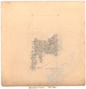
1 : 50000 Axel P. Printz
22C 11; 22C 12; 28A 3; 28A 4
1 : 50000 Lassen
A31-5
1 : 50000 Hjalmar Skaar
A31-4-n/2
1 : 50000 Gustav Adolf Tajet
1117-3 Solund
1 : 50000 Statens kartverk
A31-3
1 : 50000 Kaare Kvisgaard | Sigurd L. N. Hauge | Gustav Adolf Tajet
A31 aust Solund
1 : 100000
A31 aust Solund
1 : 100000
A31 aust Solund
1 : 100000
Museumskart 217-63: Specialkart over Den Norske Kyst fra Ronglevær til Utvær
1 : 50000 Anton Dellinger Den Geografiske Opmaaling
1117-3 Solund
1 : 50000 Statens kartverk
1117-3 Solund
1 : 50000 Norges Geografiske Oppmåling
1117-3 Solund
1 : 50000 Statens kartverk
A31 aust Solund
1 : 50000
A32-12
1 : 50000 Per Tang
A32-10
1 : 50000 Toralf Øyen
1017-2 Utvær
1 : 50000 Statens kartverk
A31-9; A31-10
1 : 50000 Sigurd L. N. Hauge
1017-2 Utvær
1 : 50000 Statens kartverk
A32-11
1 : 50000 Niels Sire
1017-2 Utvær
1 : 50000 Norges Geografiske Oppmåling
28B 1
1 : 50000 Alexius Ræder
28A 8; 28B 5
1 : 50000 Henriksen | Lund
22D 9
1 : 50000 Lassen
Museumskart 217-60: Specialkart over Den Norske Kyst fra Hellisø fyr til Alden
1 : 100000 G. Dellinger Den Geografiske Opmaaling
Museumskart 92: Speciel Kaart over en Deel af Den Norske Søe-Kyst, Frøya til Fosen
1 : 70000 Carl Frederik Grove
Trigonometrisk grunnlag, Squelet-Cart 55: kart over de i Sommeren 1859 bestemte Punkter
1 : 200000 H. Gill
Trigonometrisk grunnlag, Squelet-Cart 54: Trigonometrisk Kart for 1856
Johannes Falkenberg
VII
1 : 400000 L. Arentz