Carte cataloguée
Plan einer trigonometrischen Ausmessung welche in den Jahren 1796 und 1797 in Ostpreussen und Lithauen ausgeführt worden


Titre complet:Plan einer trigonometrischen Ausmessung welche in den Jahren 1796 und 1797 in Ostpreussen und Lithauen ausgeführt worden
Année de l'image:1802
Date de publication:1802
Éditeur:Landes-Industrie-Comptoir
Taille physique:20 x 30 cm
Échelle de la carte:1:800 000

Iz istorii kampanii 1914 goda na russkom frontě: načalo vojny i operacii v vostočnoj Prussii : s priloženiem kart i schem na otděl'nych listach, mapa ze strany: [449]
1925
Golovin, Nikolaj Nikolajevič

Iz istorii kampanii 1914 goda na russkom frontě: načalo vojny i operacii v vostočnoj Prussii : s priloženiem kart i schem na otděl'nych listach, mapa ze strany: [442]
1925
Golovin, Nikolaj Nikolajevič
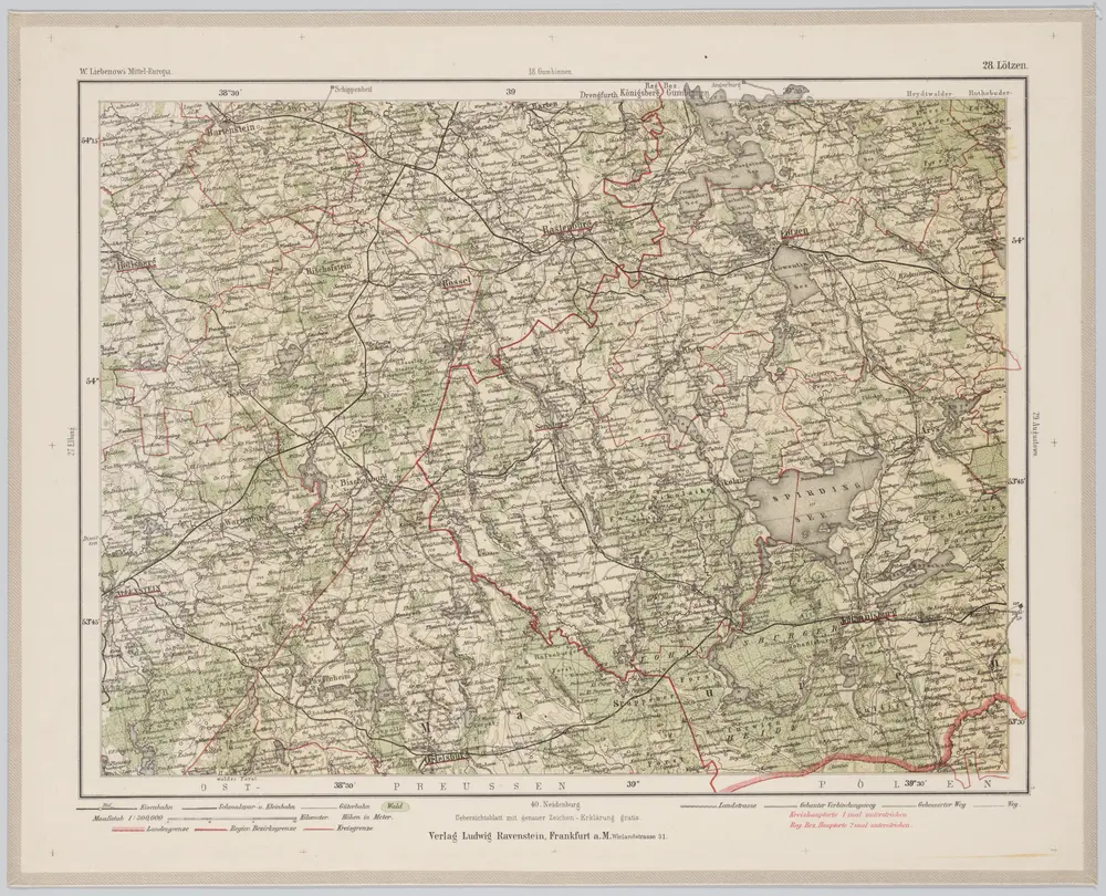
28 Lötzen, uit: Special-Karte von Mittel-Europa / nach amtlichen Quellen bearbeitet von W. Liebenow
1899
Johannes Wilhelm Liebenow 1822-1897
1:300k
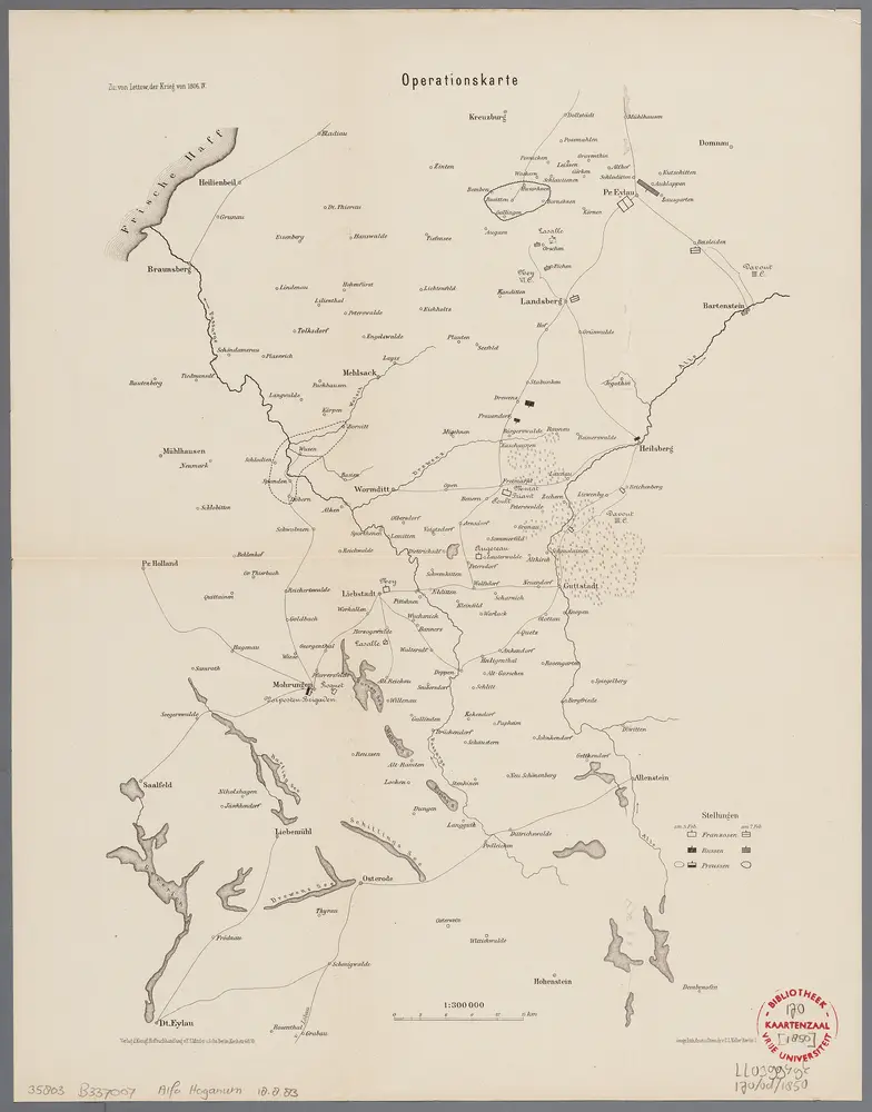
Operationskarte
1896
Berlin : Mittler
1:300k
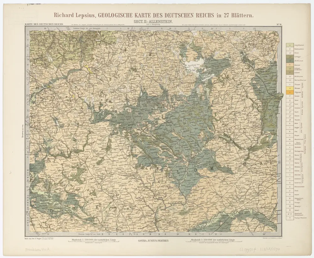
Sect. 11: Allenstein, uit: Geologische Karte des Deutschen Reichs in 27 Blaettern / [von] Richard Lepsius ; Red. von C. Vogel
1894
Carl Vogel 1828-1897
1:500k

Iz istorii kampanii 1914 goda na russkom frontě: načalo vojny i operacii v vostočnoj Prussii : s priloženiem kart i schem na otděl'nych listach, mapa ze strany: [448]
1925
Golovin, Nikolaj Nikolajevič
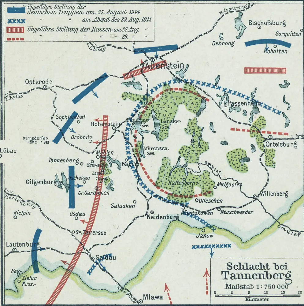
Östlicher Kriegsschauplatz II: Schlacht bei Tannenberg
1914
1:750k
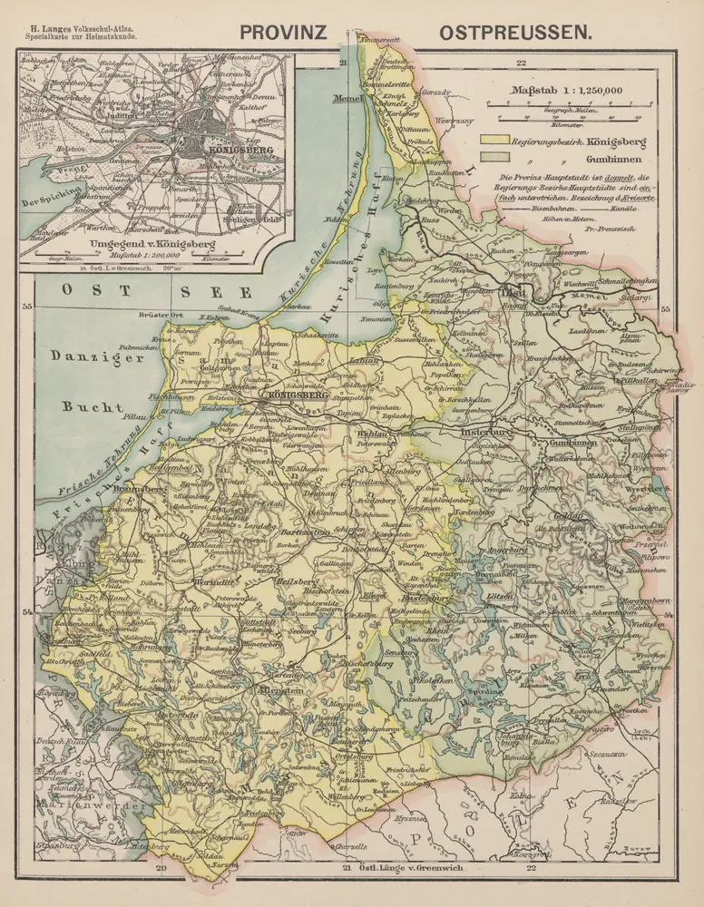
Provinz Ostpreussen
1886
1:1m
Königsberg, Guttstadt, Biełostok, Suwałki
1918
K. u. k. Militärgeographisches Institut
1:750k

Iz istorii kampanii 1914 goda na russkom frontě: načalo vojny i operacii v vostočnoj Prussii : s priloženiem kart i schem na otděl'nych listach, mapa ze strany: [443]
1925
Golovin, Nikolaj Nikolajevič