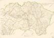
Maps of Pusztaradvány

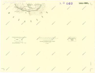
III. vojenské mapování 4666/2
1 : 25000
[Mapový list]
1 : 25000 Slovensko Vojenský zeměpisný ústav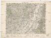
Ružový Dvor
1 : 75000 Maďarsko Vojenský zeměpisný ústav
Genc a Csobád
1 : 75000 Maďarsko Kartografické odd. při Min. nár. obrany
Goncz und Csobad (Ungarn).
from Spezialkarte der osterreichisch-ungarischen Monarchie.
Kassa (Kaschau) (Ungarn). #9916
from Spezialkarte der osterreichisch-ungarischen Monarchie.
Kaschau (Ungarn). Small #9918
from Spezialkarte der osterreichisch-ungarischen Monarchie.
Abauj-Torna vármegye térképe
1 : 380000 Košice (Slovensko : oblast) Kogutowicz, Manó Magyar Földrajzi Intézet
C. Abaujvár
Slowakei Ungarn Abaúj-Torna
Borsod vármegye
1 : 410000 Görög, Demeter Biller, Bernhard Görög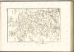

Borsoder Comitat
1 : 288000
Borsoder Comitat
1 : 288000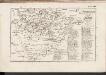
C. Zempliniensis. Tab. II
Slowakei Komitat Zemplín
C. Borsodiensis
Ungarn Komitat Borsod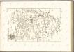

Stolice Abauj-Torna a Boršod
Abaúj-Torna, Komitat Borsod, ethnische Gruppe
Kaschau 122, uit: Special-Karte von Mittel-Europa / nach amtlichen Quellen bearbeitet von W. Liebenow
1 : 300000 titelvariant: W. Liebenow's Mittel-Europa; Annotatie: Titel boven de bladen: W. Liebenow's Mittel-Europa Johannes Wilhelm Liebenow 1822-1897 Frankfurt a. M. : Ludwig Ravenstein
Miskolcz 136, uit: Special-Karte von Mittel-Europa / nach amtlichen Quellen bearbeitet von W. Liebenow
1 : 300000 titelvariant: W. Liebenow's Mittel-Europa; Annotatie: Titel boven de bladen: W. Liebenow's Mittel-Europa Johannes Wilhelm Liebenow 1822-1897 Frankfurt a. M. : Ludwig Ravenstein
C. Szabolcs
Ungarn Slowakei Komitat Szabolcs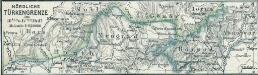
Nördliche Türkengrenze im 16ten u. 17ten Jhdt.
1 : 1850000 Osmanisches Reich / Europäischer Teil Grenze
Stolice Zemplín a Užhorod
Užhorod (Ukrajina)
Comitat Abaúj-Torna
1 : 290000 Košice (Slovensko : oblast)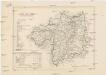
Comitat Abaúj-Torna
1 : 288000 Košice-oblast jižní (Slovensko)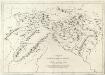
Appendix ad Mappam Mineralographicam
Mollova mapová sbírka Marsili, Luigi Ferdinando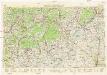
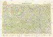
Neubertova generální automapa Republiky československé
1 : 200000 Debrecín (Maďarsko : oblast) Soukup, Jan V. Neubert a synové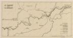
Sbírka map a diagramů použitých na mírových konferencích v Paříži v letech 1919 - 1920
Neubertova generální automapa Republiky československé
1 : 200000 Košice (Slovensko : oblast) Soukup, Jan V. Neubert a synové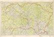
Kraj Košický a Prešovský