Maps of Drženice

III. vojenské mapování 4661/4
1 : 25000
Königsberg und Szt. Benedek
1 : 75000 Nová Baňa, Hronský Beňadik Schrift u. Gerippe v. A. Rogić. Terrainschraffirung v. Lieut. Hentke
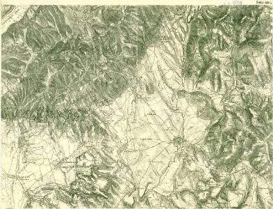
III. vojenské mapování 4661
1 : 75000
Konigsberg und Szt. Beneder.
from Spezialkarte der osterreichisch-ungarischen Monarchie.
Nová Baňa
1 : 75000 Slovensko Vojenský zeměpisný ústav
Nová Baňa
1 : 75000 Slovensko Vojenský zeměpisný ústav
Nová Baňa
1 : 75000 Slovensko Vojenský zeměpisný ústav
Hont vármegye
1 : 288000 Hont (Slovensko a Maďarsko) Biller, Bernhard Görög
C. Hontensis
Slowakei Komitat Hont
Generální mapa ČSR

Mappa Comitatvs Hontensis Methodo Astronomico-Geometrica concinnata.
1 : 160000 Mollova mapová sbírka Mikoviny, Sámuel Nicolaï, Georg David Christoph
Mappa Comitatvs Barsiensis Methodo Astronomico-Geometrica concinnata.
1 : 160000 Mollova mapová sbírka Mikoviny, Sámuel Nicolaï, Georg David Christoph
Mappa Comitatis Hontensis Methodo Astronomico-Geometrica concinnata, opera ...
1 : 162000 Mollova mapová sbírka Mikoviny, Sámuel
C. Barsensis
Slowakei Komitat Bars
Vestigium Operationis Astronomico-Geometricae :
1 : 533000 Mollova mapová sbírka
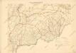
Barser und Honther Comitat
1 : 290000 Levice (Slovensko : oblast)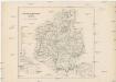
Barser und Honther Comitat
1 : 288000 Levice-oblast (Slovensko)
Schemnitz 134, uit: Special-Karte von Mittel-Europa / nach amtlichen Quellen bearbeitet von W. Liebenow
1 : 300000 titelvariant: W. Liebenow's Mittel-Europa; Annotatie: Titel boven de bladen: W. Liebenow's Mittel-Europa Johannes Wilhelm Liebenow 1822-1897 Frankfurt a. M. : Ludwig Ravenstein
Unter Neutraer-Comitat
1 : 280000 Nitra-oblast (Slovensko)
Unter Neutraer-Comitat
1 : 290000 Nitra (Slovensko : oblast)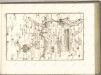

Stolice Tekov. Stolice Hont
Komitat Hont, Komitat Bars, ethnische Gruppe
C. Strigontensis
Ungarn Komitat Gran (Ungarn)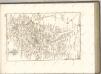

Generalkarte von Zentraleuropa
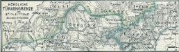
Nördliche Türkengrenze im 16ten u. 17ten Jhdt.
1 : 1850000 Osmanisches Reich / Europäischer Teil Grenze
Československo v mapách

Kraj banskobystrický
Bez titulu: mapy slovenských krajů