Maps of Jabłoniec
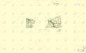
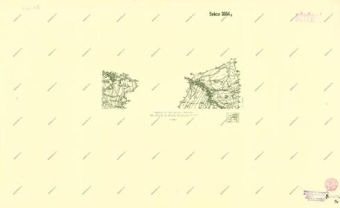
III. vojenské mapování 3554/4
1 : 25000
Nieder Ullersdorf - c1353-1-002 - Kaiserpflichtexemplar der Landkarten des stabilen Katasters
1 : 2880
Nieder Ullersdorf - c1353-1-004 - Kaiserpflichtexemplar der Landkarten des stabilen Katasters
1 : 2880
Nieder Ullersdorf - c1353-1-003 - Kaiserpflichtexemplar der Landkarten des stabilen Katasters
1 : 2880
Nieder Ullersdorf - c1353-1-001 - Kaiserpflichtexemplar der Landkarten des stabilen Katasters
1 : 2880
III. vojenské mapování 3554/4
1 : 25000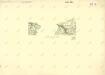
III. vojenské mapování 3554/4
1 : 25000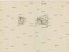
[Gradkartenblatt]
1 : 25000 Čechy (Česko) Vojenský zeměpisný ústav
III. vojenské mapování 3654/2, 3554/4
1 : 25000
III. vojenské mapování 3654/2, 3554/4
1 : 25000


Bezirk Friedland
II. vojenské mapování 1
1 : 144000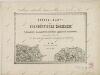
II. vojenské mapování 1
1 : 144000
Karte des Bezirkes Friedland

Tschernhausen und Preuss. Cörlitz [sic]
1 : 75000 Görlitz-oblast (Německo) K. u. k. Militärgeographisches Institut
III. vojenské mapování 3554
1 : 75000
Vilímkovy místopisné mapy zemí Koruny české
1 : 100000 Frýdlant (Česko : oblast) Srp, Jan Jos. R. Vilímek
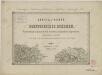
Karte der Bezirkshauptmannschaft Friedland
1 : 100000 Frýdlant-oblast (Česko) Erben, Josef Karl Janský
Podrobná mapa Království českého
1 : 100000 Frýdlant (Česko : oblast) Srp, Jan Jos. R. Vilímek
Mapy plánování ČSR

Generální mapa okresních hejtmanství

Reichenberg u. Friedland.
from Spezialkarte der osterreichisch-ungarischen Monarchie.
Umgebungskarte zu Woerl's Führer
1 : 220000 Liberec-oblast (Česko) Woerl's Reisebücherverlag
Tschernhausen und Preuss. Corlitz.
from Spezialkarte der osterreichisch-ungarischen Monarchie.
Generální mapa okresních hejtmanství

Jizerské hory

Straubes offizielle farbige Wegekarte vom Riesen- und Isergebirge
1 : 120000 Adršpach (Česko : oblast) Straube, Julius Geogr. Institut u. Landkarten-Verlag Jul. Straube