Maps of West Indies

Insulae Americanae, nempe Cuba, Hispaniola Iamaica, Pto. Rico, Lucania, Antillae vulgo Caribae, Barlo-Et Sotto-Vento etc
1 : 6500000 Danckerts, Cornelis, 1664-1717 C. Danckerts, Cum Privilegio
[West-Indien und Centro-America, nebst dem Meerbusen von Mexico]
Schul-Atlas über alle Theile der Erde nach dem neuesten Zustande, und über das Weltgebäude Stieler, Adolf bei Justus Perthes
West India Islands.
1 : 13400000 Lizars, Daniel
West Indies.
1 : 12500000 Carey, Mathew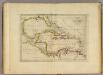
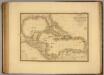
Chart of the West Indies.
1 : 11750000 Carey, Mathew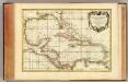
Golfe du Mexique.
1 : 10000000 Rizzi Zannoni, Giovanni Antonio Bartolomeo, 1736-1814
[West-Indien und Centro-America, nebst dem Meerbusen von Mexico]
Schul-Atlas über alle Theile der Erde nach dem neuesten Zustande, und über das Weltgebäude Stieler, Adolf Justus Perthes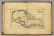
West Indies.
1 : 16000000 Seaman, James V.
215-216. Central America and West Indies. The World Atlas.
1 : 7500000 USSR (Union of Soviet Socialist Republics).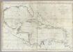
A new general chart of the West Indies.
1 : 4500000 Norman, William
Carte du Golfe du Mexique et des Isles Antilles
1 : 10168000
Mappa Geographica, complectens I. Indiae Occidentalis Partem Mediam Circum Isthmum Panamensem II. Ipsumq[ue] Isthmum III. Ichnographiam praecipuorum locorum & portuum ad has terras pertinentium
Iles Antilles, Etats-Unis de l'Amerique Centrale, Mer du Mexique.
1 : 8000000 Picquet, C.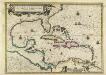
Insulae Americanae in Oceano Septentrionali cum Terris adiacentibus
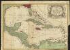
This is a map by Dutch mapmaker Joannes Janssonius published from 1636 in later editions of Gerhard Mercator's celebrated atlas. It is basically a chart rather than a map complete with rhumb lines (for sailing directions) and place names written at right angles to the coast as in early manuscript sea charts. The outline colouring does not accurately reflect the colonising powers but is mainly for decoration. It is partly based on a similar map by rival Dutch mapmaker Joannes Blaeu. Janssonius, Joannes. Cartographer.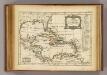
Golfe du Mexique, Isles Antilles.
1 : 19500000 Delamarche, Charles Francois

West India Islands.
1 : 14500000 Darton, William
The West Indies and coast adjacent, reduced from the sheet map
1 : 16663680
West Indies.
1 : 17500000 Arrowsmith, Aaron; Lewis, Samuel
West Indies.
1 : 17500000 Arrowsmith, Aaron; Lewis, Samuel
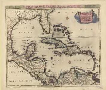
INSVLÆ AMERICANÆ | IN OCEANO SEPTENTRIONALI, | cum Terris adiacentibus
[Amsterdam : Joan Blaeu]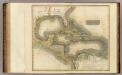
West Indies.
1 : 7900000 Thomson, John
Chart of the West Indies.
1 : 11750000 Carey, Mathew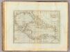
Chart of the West Indies.
1 : 11750000 Carey, Mathew
Chart of the West Indies.
1 : 11000000 Carey, Mathew
Chart of the West Indies.
1 : 11750000 Carey, Mathew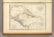
Antilles, du Golfe de Mexique, et du Guatemala.
1 : 14000000 Malte-Brun, Conrad, 1775-1826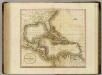
West India Isles.
1 : 9100000 Cary, John, ca. 1754-1835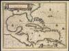
Insulae Americanae in Oceano Septentrionali, cum terris adiacentibus
1 : 1