Carte cataloguée
滿洲農業移民入植圖


Titre complet:滿洲農業移民入植圖
Année de l'image:1939
Éditeur:拓務省
Taille physique:20 x 30 cm
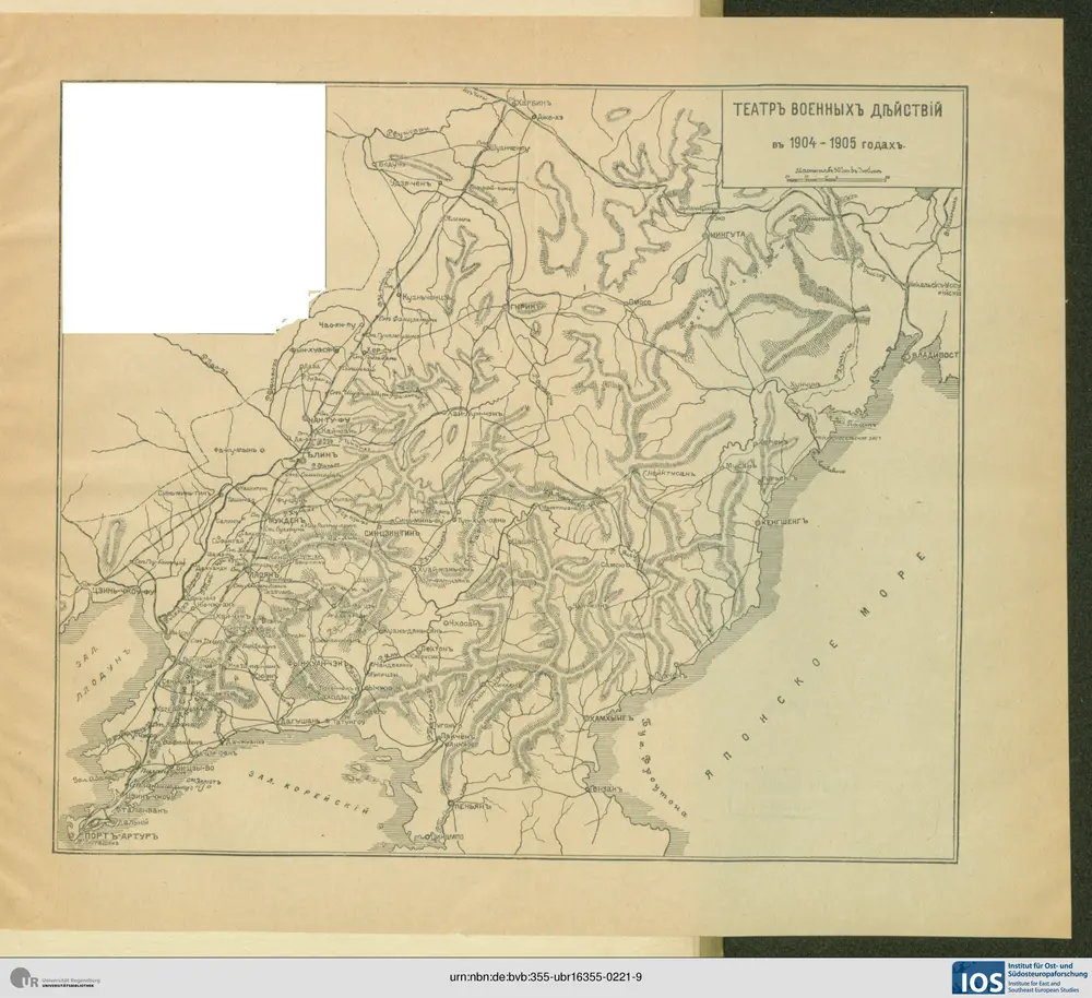
Karta teatra voennych dějstvīj 1904 - 1905 gg.
1905
國都建設計畫用途地域分配並事業第一次施行區域圖
1933
滿洲國政府國務院國都建設局
國都建設計畫用途地域分配並事業第一次施行區域圖
1933
滿洲國政府國務院國都建設局
東北九省新地圖
1945
中國史地圖表編纂社
1:5m
滿洲國略圖
1942
滿洲農產公社
1:4m
康熙内府分省分府圖:盛京全圖
1939
清内府
康熙内府分省分府圖:奉天府南分圖
1939
清内府
康熙内府分省分府圖:奉天府北分圖
1939
清内府
康熙内府分省分府圖:錦州府圖
1939
清内府
康熙内府分省分府圖:鴨綠江圖
1939
清内府
康熙内府分省分府圖:熱河圖
1939
清内府
康熙内府分省分府圖:寧古塔圖
1939
清内府
康熙内府分省分府圖:烏喇圖
1939
清内府
康熙内府分省分府圖:烏蘇里江圖
1939
清内府
北支蒙疆鐵道略圖
1939
華北交通株式會社
滿洲農業移民入植圖
1939
拓務省
日军占领东北形势示意图
1932
满洲地區戰時形勢示意圖, 1931-1935
1935