Maps of Cambridge

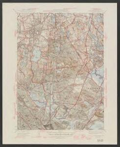
Boston North quadrangle, Massachusetts
1 : 62500 Geological Survey (U.S.) U.S. Geological Survey
Boston North
1 : 25000
Boston North
1 : 25000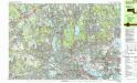
Boston North
1 : 25000
Boston North
1 : 25000
Boston North
1 : 25000
Boston North
1 : 24000
Boston North
1 : 24000
Boston North
1 : 24000
Boston North
1 : 24000
Boston North
1 : 31680
Boston North
1 : 31680
Boston North
1 : 31680
Boston North
1 : 24000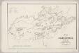
Map of Somerville, Mass
1 : 9600 Draper, Martin J.T. Powers & Co.'s Lith.
Boston and Vicinity.
Gray, Ormando Willis
Boston and Adjacent Cities.
1 : 19500 Colton, G.W.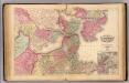
Boston.
1 : 19800 Walling, H. F.
Map of the town of Medford, Middlesex County, Mass. : surveyed by order of the town
1 : 8000 Walling, Henry Francis, 1825-1888 [H.F. Walling]
Map of the city of Cambridge, Middlesex County, Massachusetts
1 : 6000 Walling, Henry Francis, 1825-1888 Geo. L. Dix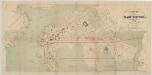
Plan of East Boston
1 : 4800 Davis, Thomas Wood Bufford's Photo Process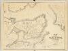
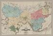
Plan of the city of Charlestown : made by order of the City Council from actual survey
1 : 4800 Felton & Parker J.H. Bufford's Lithogy.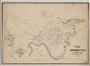
A map of Cambridge, Mass
1 : 12000 Hayward, James, 1786-1866 Eddy's Lithography
Plan of East Boston : shewing the location of a mill dam and other improvements
1 : 4800 Eddy, R. H. (Robert Henry), 1812-1887 Pendleton's Lithography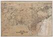
City of Cambridge, Mass
[s.n.]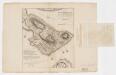
A plan of the action at Bunkers Hill on the 17th of June 1775 between His Majesty's troops, under the command of Major General Howe, and the American forces (without overlay)
1 : 4800 Page, Thomas Hyde, Sir, 1746-1821 Published by the author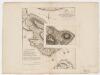
A plan of the action at Bunkers Hill on the 17th of June 1775 between His Majesty's troops, under the command of Major General Howe, and the American forces (with overlay)
1 : 4800 Page, Thomas Hyde, Sir, 1746-1821 Published by the author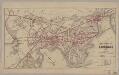
Map of the city of Cambridge for 1865
1 : 12672 Chase, J. G J.H. Bufford's Lith.
Proposed Charles River park
1 : 21100 Davenport, Charles J.H. Bufford's Sons