编目地图
Nordeuropa 1922


完整标题:Nordeuropa 1922
描述:1922
发布日期:2004
物理尺寸:20 x 30 cm
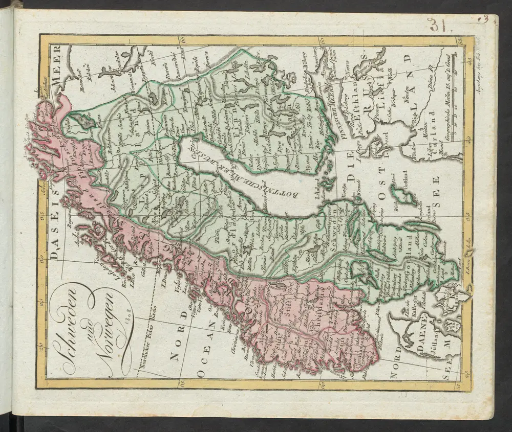
Schweden und Norwegen
1814
Güssefeld, Franz L.
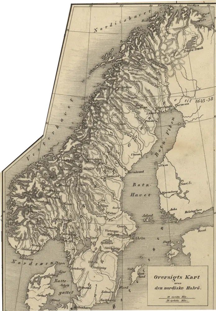
Norge 171b: Oversigts Kart over den nordiske Halvö
1855
Peter Andreas Munch
1:5m
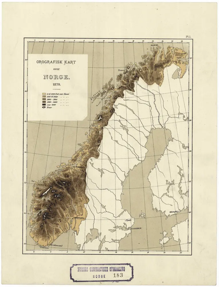
Norge 183: Orografisk Kart over Norge.
1879
1:6m
Schweden und Norwegen
1808
[Walch, Johannes]
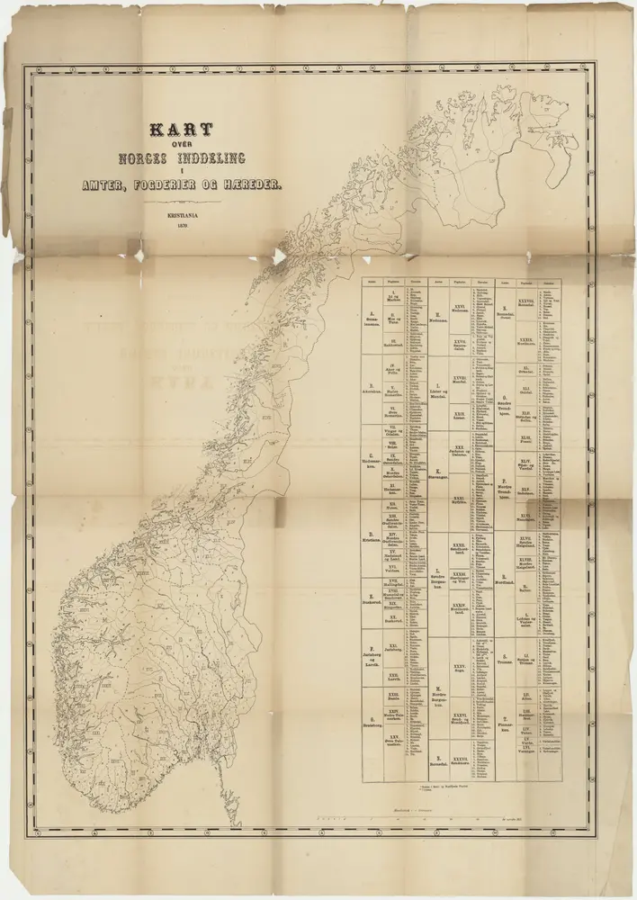
Kart over Norges inddeling i amter fogderier og hæreder
1870
1:1m
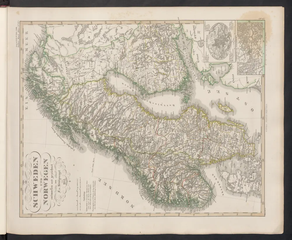
Schweden, Norwegen und Dänemark
1830
Güssefeld, Franz L.
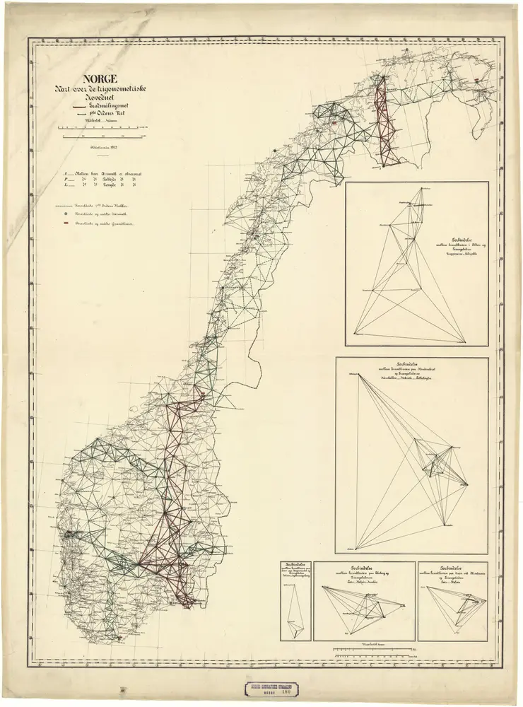
Norge 180: Kart over det trigonometriske Hovednet i Norge.
1877
1:2m
Schweden und Norwegen
1854
Stieler, Adolf
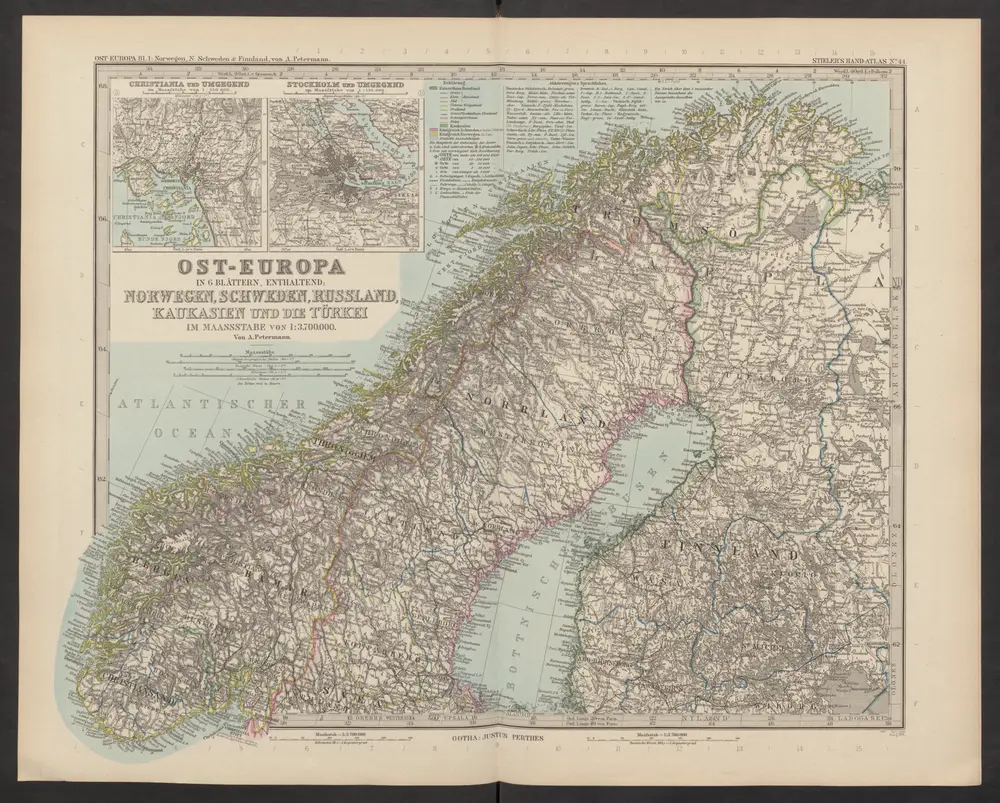
[Ost-Europa, Blatt 1]
1892
Stieler, Adolf
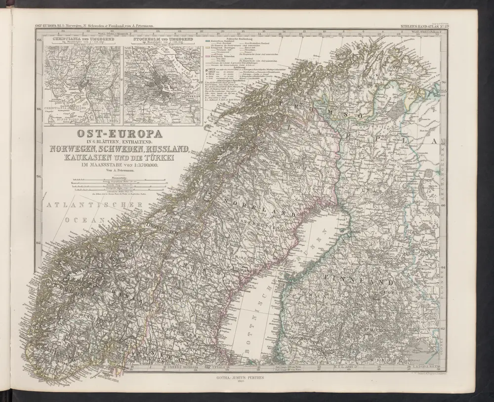
[Ost-Europa in 6 Blättern, Enthaltend: Norwegen, Schweden, Russland, Kaukasien und die Türkei, Blatt 1]
1869
Stieler, Adolf