Maps of Northern European Plain

Europäisches Russland
1 : 14500000 Russland / Europäischer Teil
Russland
1 : 15000000 Russland / Europäischer Teil
Russisches Reich. Verwaltungsgrenzen von 1914. Europäischer Teil
Russland / Europäischer Teil Verwaltungsgliederung
Russland
Russland / Europäischer Teil Skizzenbuch
Europaeisches Russland mit Kasan, Astrachan und Georgien
Schul-Atlas über alle Theile der Erde nach dem neuesten Zustande, und über das Weltgebäude Stieler, Adolf bei Justus Perthes
Russland
Russland / Europäischer Teil
Europäisches Russland 1801-1855
1 : 15500000 Russland / Europäischer Teil
Europaeisches Russland mit Kasan, Astrachan und Georgien
Russland / Europäischer Teil
Charte des europäischen Russlands
Russland / Europäischer Teil
Russia.
1 : 7760000 Johnson, A.J.
Russia.
1 : 7760000 Johnson, A.J.
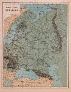
Europäisches Russland
Russland / Europäischer Teil Skizzenbuch
Das europäische Rusland
Russland
Russland
1 : 16000000 Russland / Europäischer Teil
Ruszland
1 : 18000000 Russland / Europäischer Teil
Ravensteinkarte Osteuropa
1 : 3333333 Evropa střední a východní Ravensteins Geographische-Verlagsanstalt und Druckerei
E. Russland
Rusko západní
Karte der Vergrösserungen Russlands unter Peter dem Grossen und seinen Nachfolgern
Russland Peter I.
La Russie d'Europe
Russland Bielaerts, J. B.
TABVLA | RVSSIÆ | ex autographo, quod delineandum | curavit Foedor filius Tzaris Boris desum- | ta; et ad fluvios Dwinam, Zuchanam, aliaque | loca, quantum ex tabulis ex notitiis ad nos dela- | tis fieri potuit, amplificata...
Amstelodami, | Excusum Apud Guiljelmum Blaeu
Karte der Vergrösserungen Russlands unter Peter dem Grossen und seinen Nachfolgern
Russland Peter I.
Europäisches Russland

Europäisches Russland
1 : 16000000 Russland / Europäischer Teil
Sovětský svaz v mapách

Europäisches Russland
1 : 20500000 Russland / Europäischer Teil
Carte de la partie européenne de l'empire de Russie, avec l'indication des chemins de poste, ainsi que des douanes frontières et de la repartition actuelle en gouvernements et districts
1 : 3000000
Des Russischen Reichs Europäischer Theil
Stieler's Hand-Atlas Stieler, Adolf bei Justus Perthes

Russia & Poland.
1 : 5639040 Arrowsmith, John