Maps of Europe

Maps of Europe

$title$

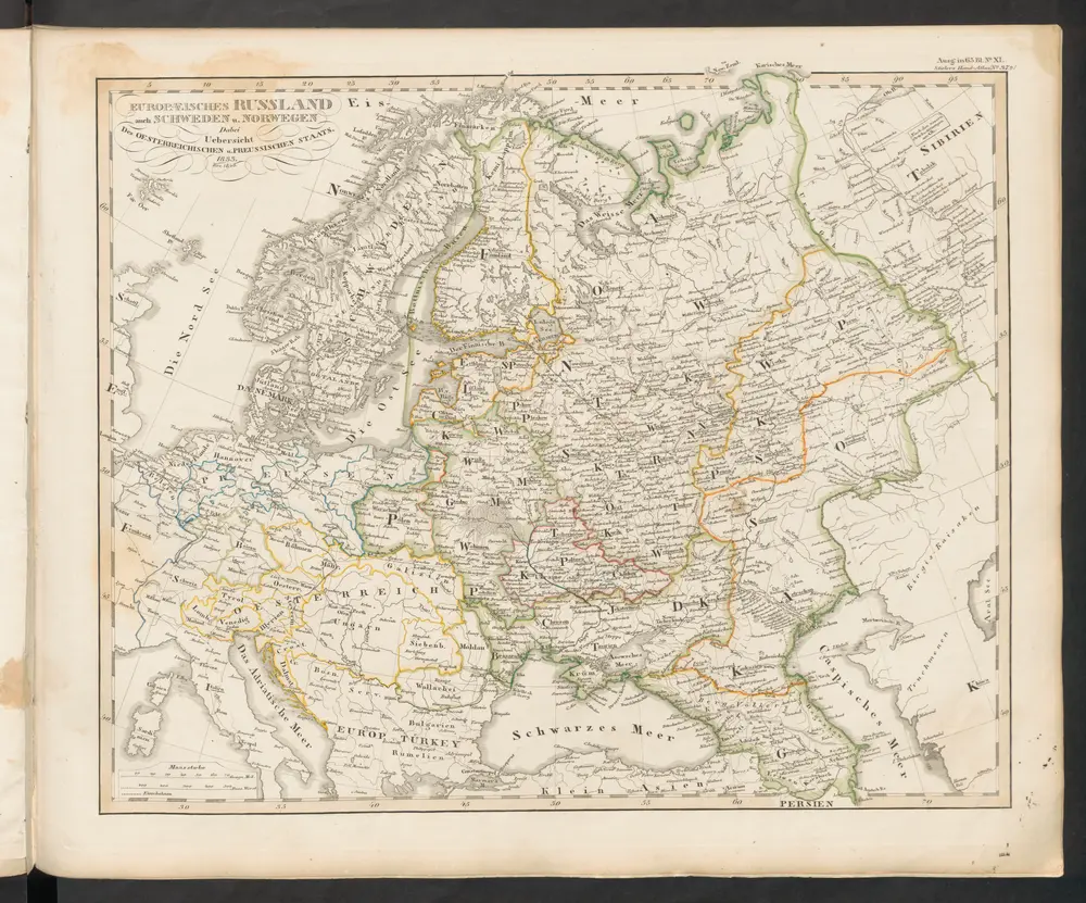
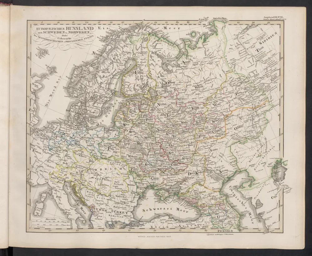
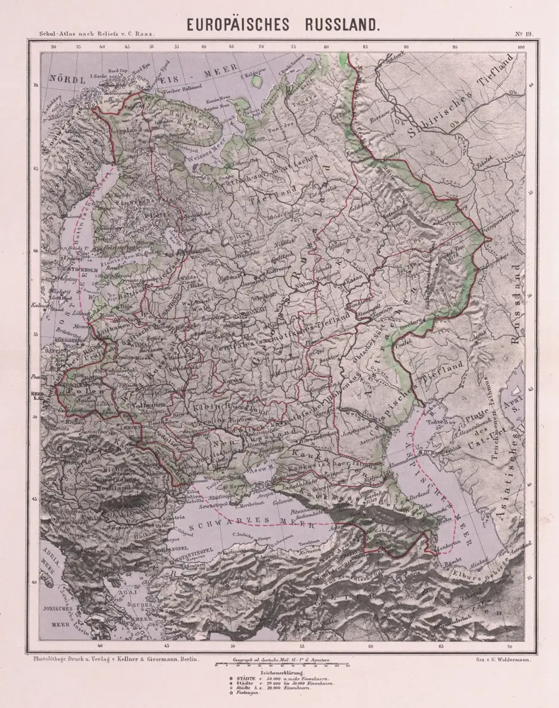
Europäisches Russland

Russland / Europäischer Teil
$title$

Sarmatische Tiefebene

Osteuropa, Ostmitteleuropa
$title$

Karte der Bevölkerung Russlands im 19. Jahrhundert

Russland Bevölkerungsdichte
$title$

Praktische Geschäfts und Reisekarte sämmtlicher Staaten von Europa enthaltend die vorzüglichsten Strassen-Verbindungen mit Angage der Distanzen und der bestehenden Eisenbahnen: Nebst einem Theile von Africa u. Asien, und zwar die Länder: Marocco, Algerien u. Tunis, ganz Kleinasien, und ein Theil von Persien

Schulz, R. A.
$title$

Karte der Bevölkerung Russlands im 9. Jahrhundert

Russland Bevölkerungsdichte
$title$

Wirtschaftskarten I. Rußland

1 : 18000000 Russland / Europäischer Teil Wirtschaft
$title$

Eastern Europe.

1 : 14495100 Fisher, Richard Swainson
$title$

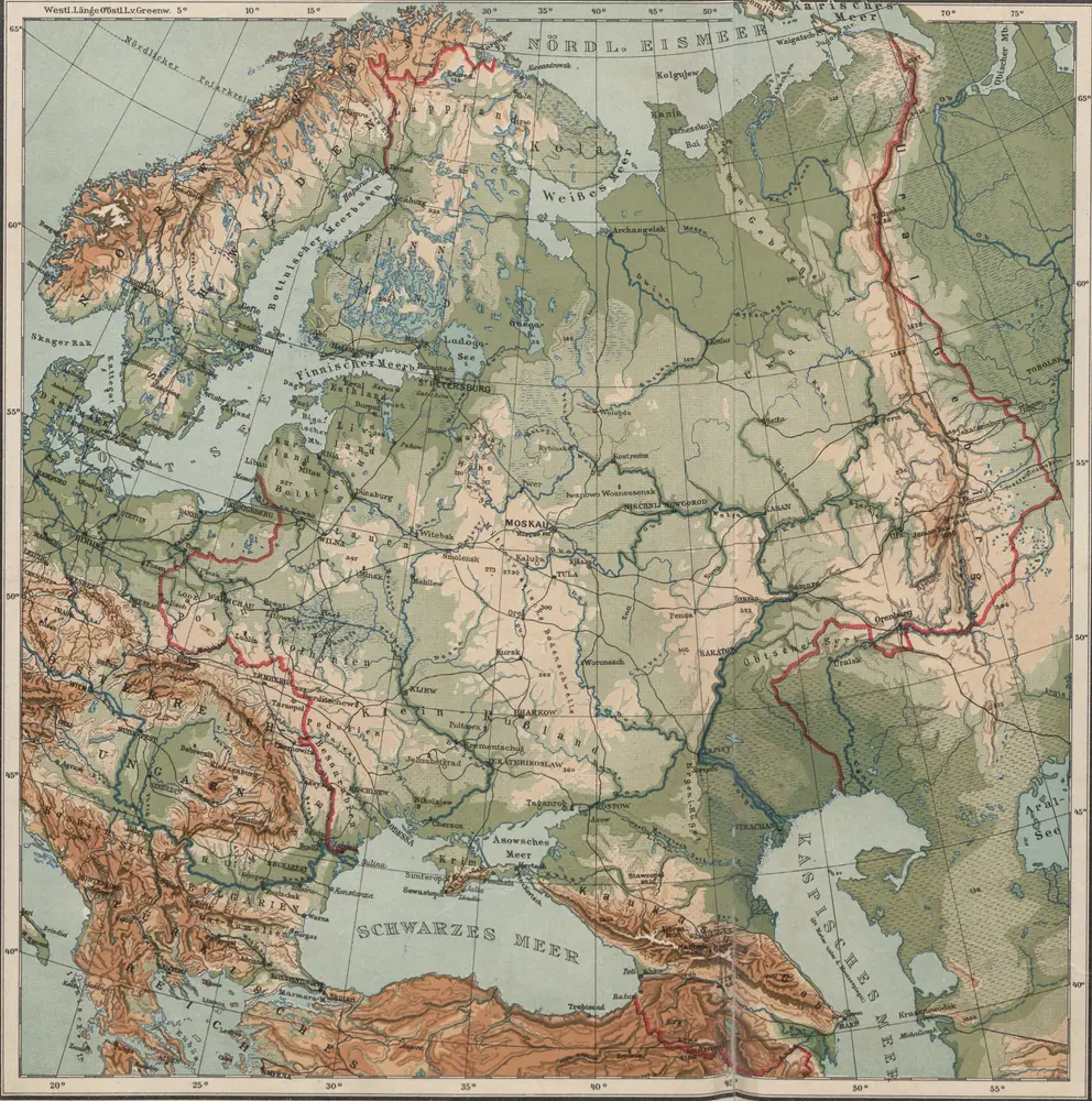
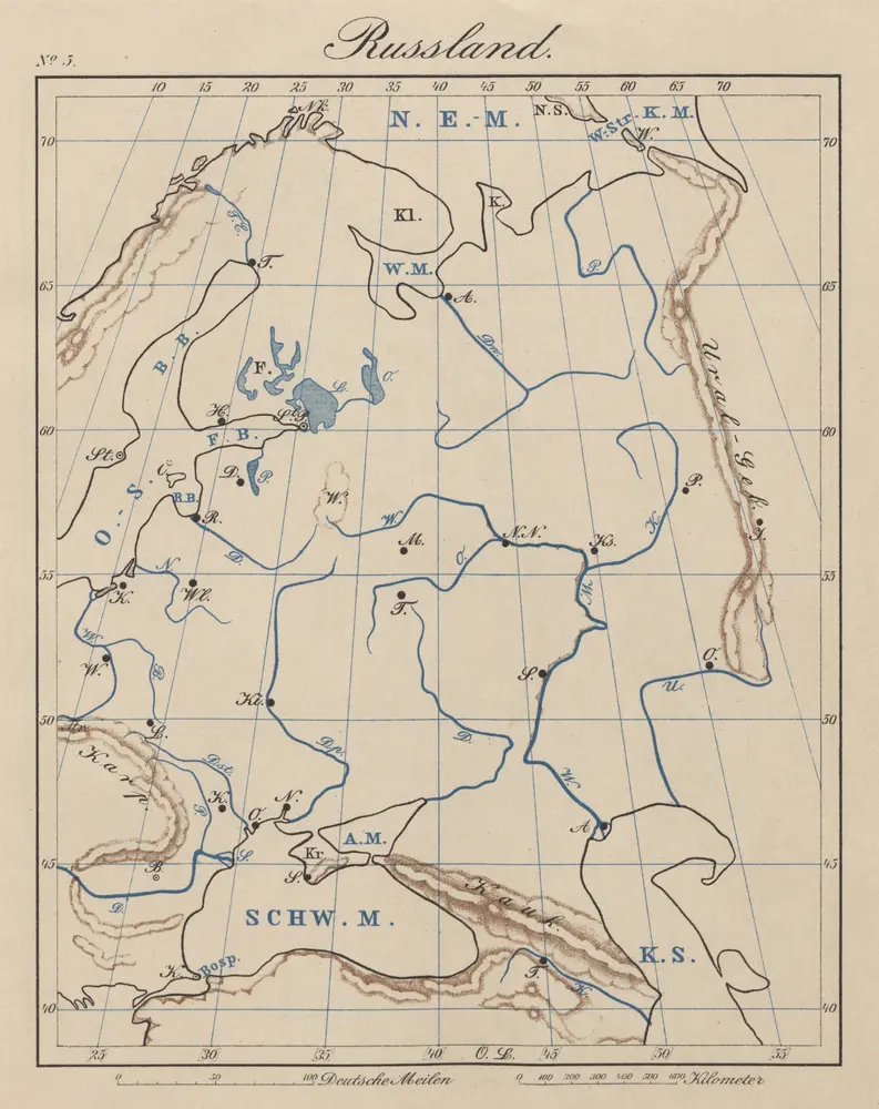
Rußland

1 : 18000000 Russland / Europäischer Teil
$title$

Carta politica della Russia / Francesco Vallardi

1 : 3300000 Francesco Vallardi
$title$

Skandinavien und Rußland

1 : 18000000 Skandinavien, Osteuropa
$title$

Europäisches Russland

1 : 14500000 Russland / Europäischer Teil
$title$

Russland seit Peters des Grossen Zeit

1 : 12000000 Russland
$title$

Rußland

1 : 18000000 Russland / Europäischer Teil
$title$

Russland

1 : 36000000 Russland / Europäischer Teil
$title$

Europäisches Russland

1 : 16000000 Russland / Europäischer Teil
$title$

Karte der Vergrösserungen Russlands unter Peter dem Grossen und seinen Nachfolgern

Russland Peter I.
$title$

Karte der Vergrösserungen Russlands unter Peter dem Grossen und seinen Nachfolgern

Russland Peter I.
$title$

Evrope

1 Karte : Kupferdruck ; 18 x 23 cm Sanson; Winter s.n.
$title$

Ruszland

1 : 18000000 Russland / Europäischer Teil
$title$

Skandinavien und Rußland

1 : 18000000 Skandinavien, Osteuropa
$title$

Europäisches Russland

1 : 13300000 Russland / Europäischer Teil
$title$

Ost Europa

1 : 12500000 Russland / Europäischer Teil
$title$

Russland 1682-1762

1 : 18000000 Russland Expansion
$title$

Russland

1 : 15225000 Russland / Europäischer Teil
$title$

Europe.

1 : 11100000 Tanner, Henry S.
$title$

$title$

Rußland im XVI. u. XVII. Jahrhundert

1 : 18000000 Russland
$title$

Bodenbenutzung und Industrie

Russland / Europäischer Teil Industrie, Bodennutzung
$title$

Russland

1 : 16000000 Russland / Europäischer Teil
$title$

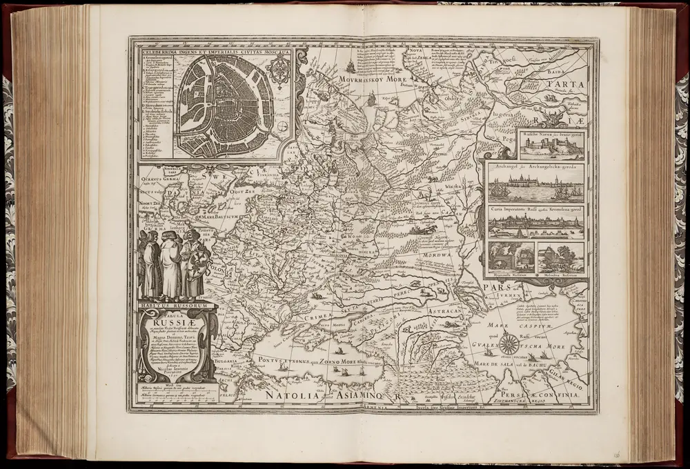
TABVLA | RVSSIÆ | ex autographo, quod delineandum | curavit Foedor filius Tzaris Boris desum- | ta; et ad fluvios Dwinam, Zuchanam, aliaque | loca, quantum ex tabulis ex notitiis ad nos dela- | tis fieri potuit, amplificata...

Amstelodami, | Excusum Apud Guiljelmum Blaeu
© MapTiler © OpenStreetMap contributors
How does it work?
These instructions will show you how to find historical maps online.
Getting started
Type the place name in the search box to find the exact location. You can further adjust the search by zooming in and out.
Zoom
Zoom in and out with the buttons or use your mouse or touchpad natively.
Exact Area tool
Click here and draw a rectangle over the map to precisely define the search area.
Set filters
Narrow your search with advanced settings, such as Years (from/to), Fulltext, Publisher, etc.
Results
See the results of your search on the right side. You can scroll down to find more maps of this location.
?

Download OldMapsOnline Mobile