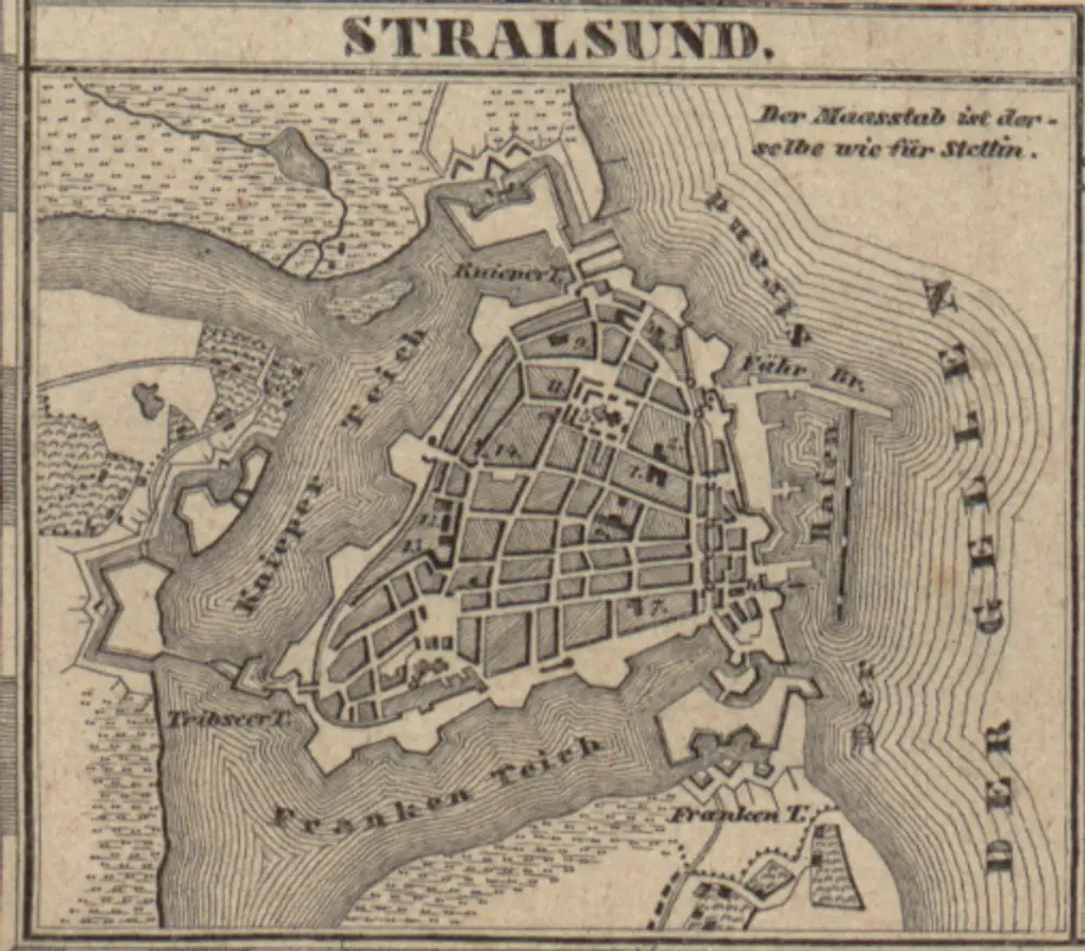
![Thumbnail of historical map](#)
Prospect, Grundris und Gegend der königl. schwed. Vestung Stralsund, wie solche den 15. Julii Ao. 1715 von den nordlichen Hohen Allyrten ist belagert worden
1800
Heer, Daniel
![Thumbnail of historical map](https://kramerius.mzk.cz/search/iiif/uuid:23aa51a8-82de-11e0-bc9f-0050569d679d/square/!150,150/0/default.jpg)
Neuer Atlas Uber die Gantze Welt, mapa ze strany: [170]
1714
Homann Johann Baptist
![Thumbnail of historical map](#)
Meßtischblatt 439, neue Nr. 1744 : Elmenhorst, 1937
1937
1:250k
![Thumbnail of historical map](#)
Meßtischblatt 372, neue Nr. 1644 : Stralsund, 1886
1886
1:250k
![Thumbnail of historical map](https://kramerius.mzk.cz/search/iiif/uuid:24c3d7f9-82de-11e0-bc9f-0050569d679d/square/!150,150/0/default.jpg)
Neuer Atlas Uber die Gantze Welt, mapa ze strany: [171]
1714
Homann Johann Baptist
![Thumbnail of historical map](https://thumbs.oldmapsonline.org/79/429d3b05465f40399bdf637c7b98cb82.thumbnail-1000.webp)
[Stralsund]
1858
![Thumbnail of historical map](#)
n/a
1791
![Thumbnail of historical map](https://kramerius.mzk.cz/search/iiif/uuid:d113d06f-9107-11e0-82d6-0050569d679d/square/!150,150/0/default.jpg)
Atlas minor, mapa ze strany: 451
1610
Mercator Gerhard
![Thumbnail of historical map](#)
n/a
1791
![Thumbnail of historical map](https://kramerius.mzk.cz/search/iiif/uuid:25d4f9da-82de-11e0-bc9f-0050569d679d/square/!150,150/0/default.jpg)
Neuer Atlas Uber die Gantze Welt, mapa ze strany: [172]
1714
Homann Johann Baptist