Cataloged map
Oesterreich


Full title:Oesterreich
Depicted:1874
Pubdate:1874
Physical Size:20 x 30 cm
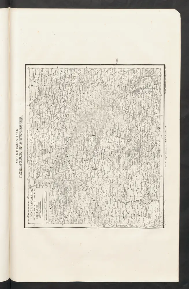
L'Empire d'Autriche
1844
Hellert, J.J.
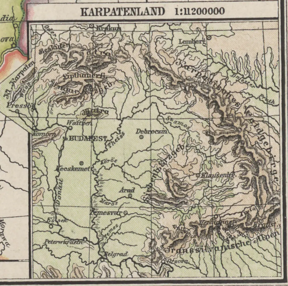
Karpatenland
1886
1:11m
Hvngariae descriptio / Wolfgango Lazio avct
1573
Lazius, Wolfgang
1:1m
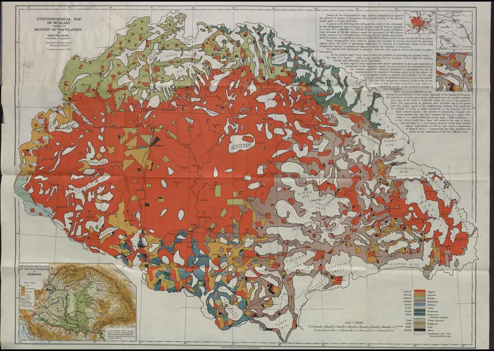
Ethnographical map of Hungary based on the density of population
1922
Teleki, Pál
1:1m
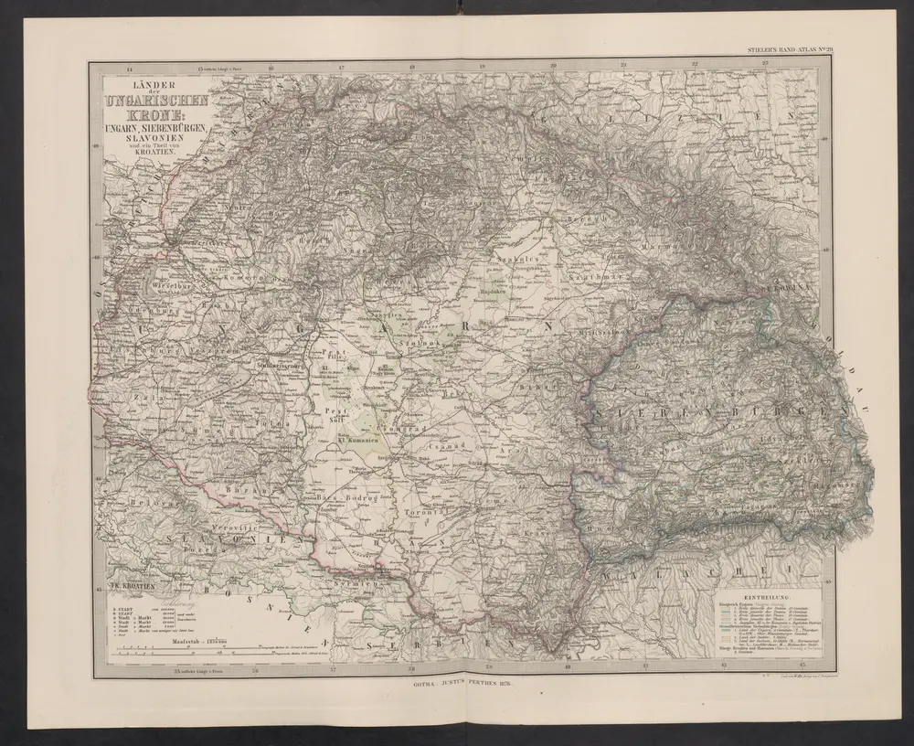
Länder der Ungarischen Krone: Ungarn, Siebenbürgen, Slavonien und ein Theil von Kroatien
1876
Stieler, Adolf
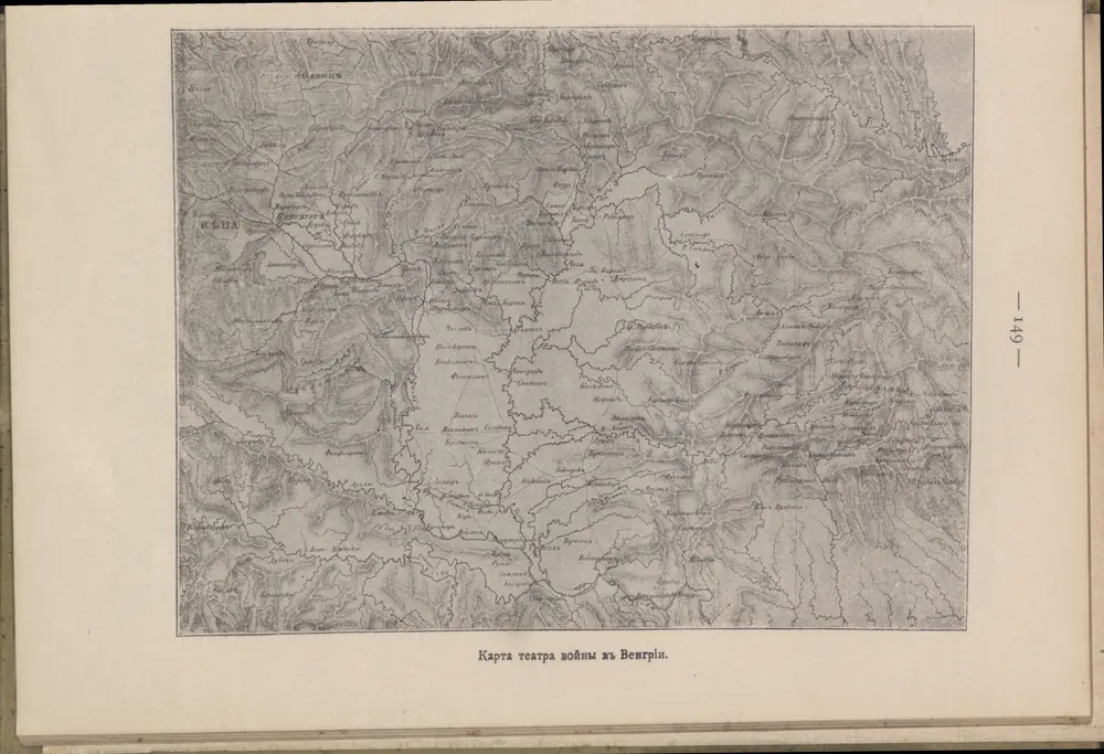
Karta teatra vojny v Vengrīi
1849
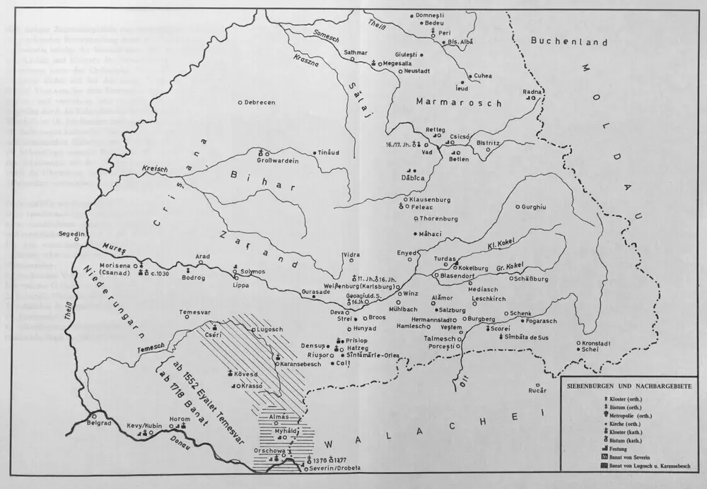
Siebenbürgen und Nachbargebiete
1977
Ungarn sam[m]t der vereinigten Ländern und Siebenbürgen
1800
Hocke, Jan
Uibersichts Karte des Kriegsschauplatzes von Ungarn und Siebenbürgen
1860
1:1m
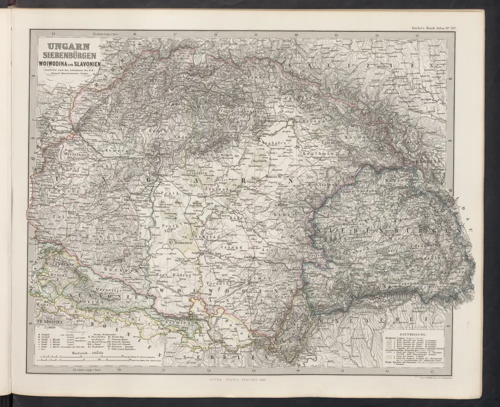
[Ungarn, Siebenbürgen, Woivodina und Slavonien]
1869
Stieler, Adolf