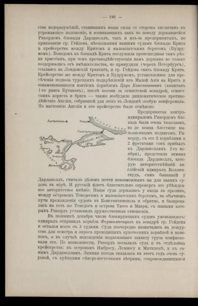
Gecatalogiseerde kaart
Die Dardanellen in ihrer Lage zu Konstantinopel

Volledige titel:Die Dardanellen in ihrer Lage zu Konstantinopel
Jaar illustratie:1916
Pubdatum:1916
Fysieke grootte:20 x 30 cm
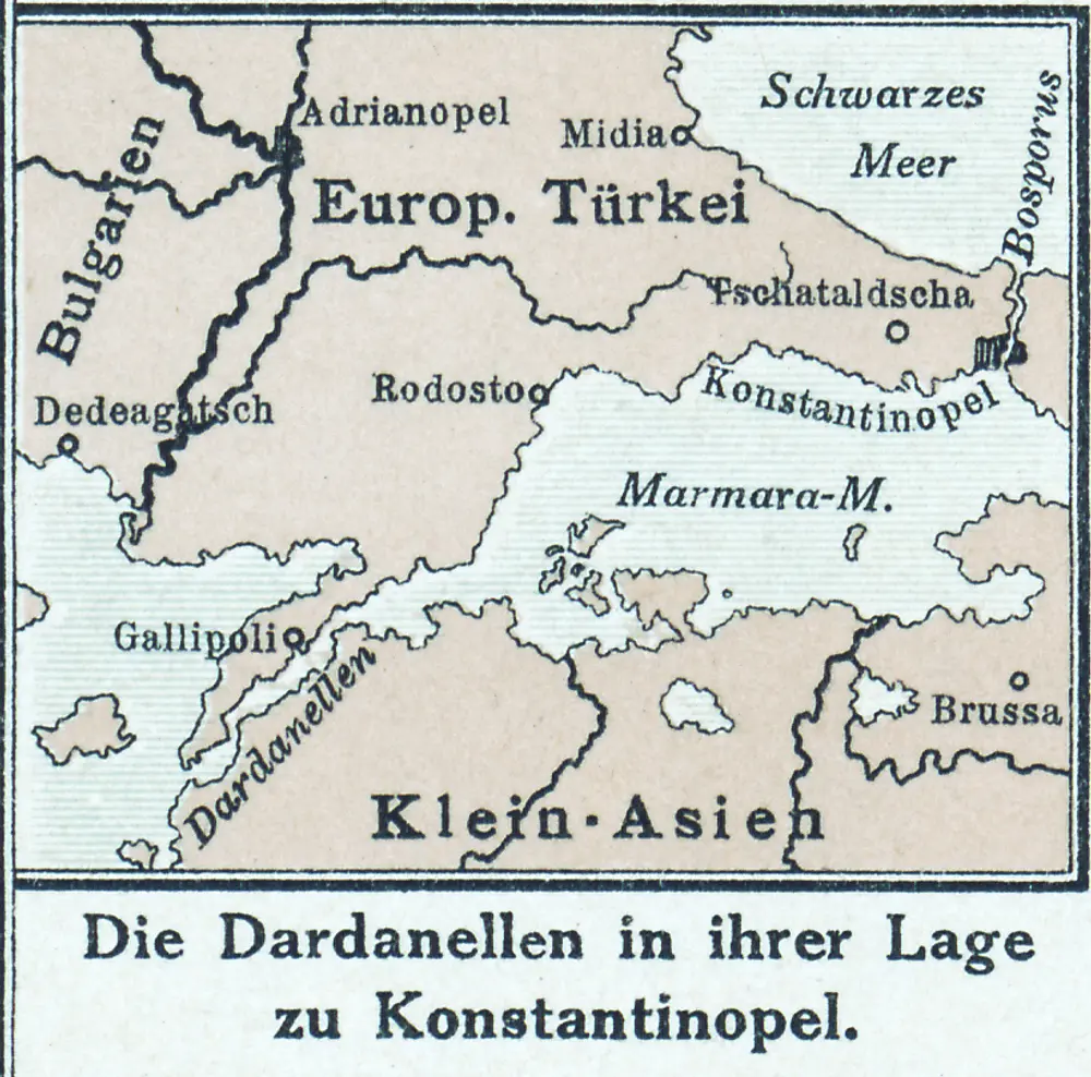
Die Dardanellen in ihrer Lage zu Konstantinopel
1916
Charte von der Strasse der Dardanellen oder Hellespont und dem Canal von Constantinopel (Bosporus) nebst dem Meer von Marmora
1795
Güssefeld; Faden; Le Chevalier
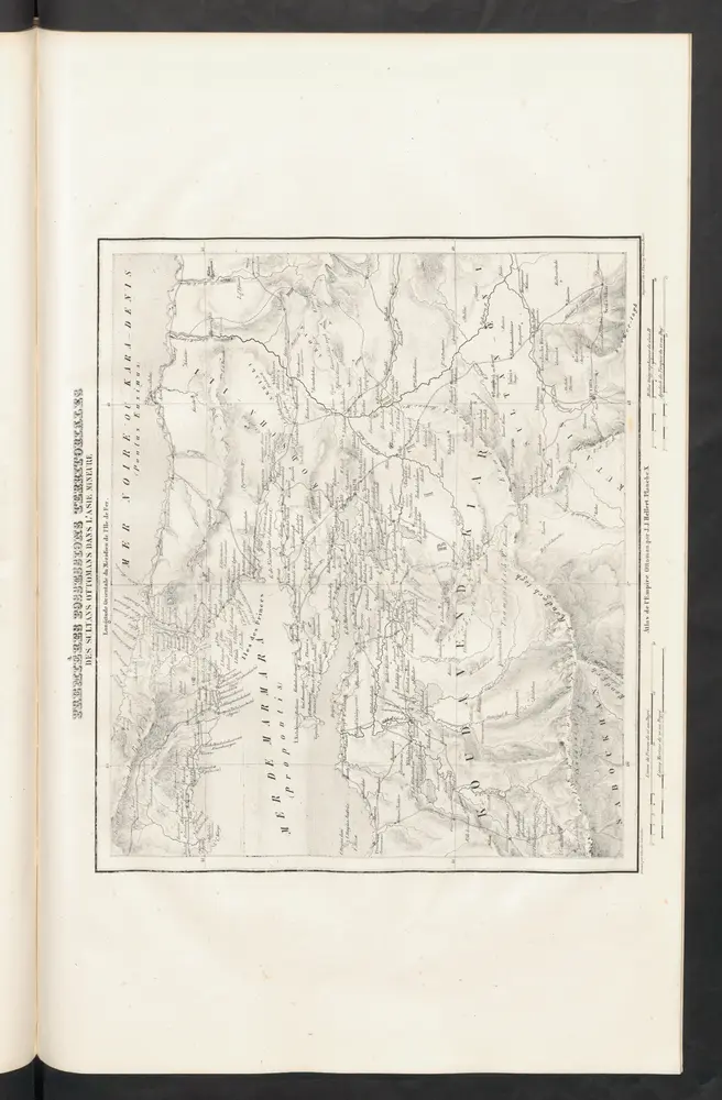
Premières Possessions Territoriales
1844
Hellert, J.J.
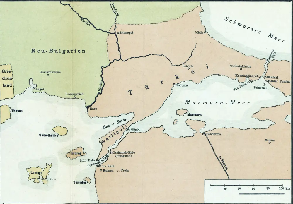
[Konstantinopel]
1915
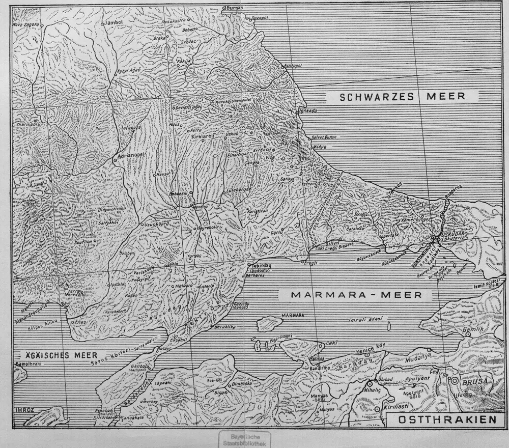
Ostthrakien
1944
[Marmarameer]
1911
[Romanien]
2013
Gallipoli, Brussa
1918
K. u. k. Militärgeographisches Institut
1:750k
B2. Brussa. / bearbeitet von Richard Kiepert. 1902-1916.
1904
Carte des écoles et églises du vilayet d'Andrinople du sandjak de Tchataldja et de la partie européenne du vilayet de Constantinople (1908)
1908
Kümmerly & Frey