Carte cataloguée
Mittel-Serbien

Titre complet:Mittel-Serbien
Année de l'image:1916
Date de publication:1916
Taille physique:20 x 30 cm
Échelle de la carte:1:875 000
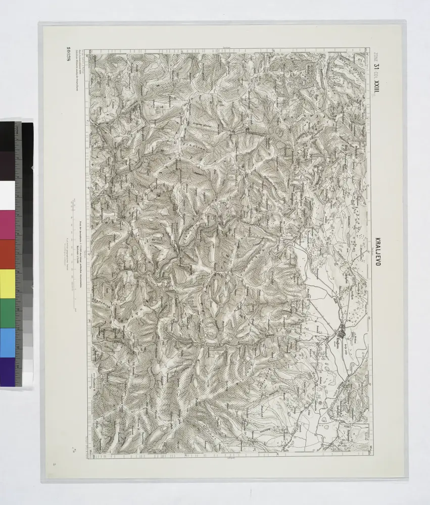
Kraljevo.; Spezialkarte der osterreichisch-ungarischen Monarchie.
1900
Carte des bei Alexinza zwischen dem K. Servischen Freycorps unter Com.-do des Obrist Michaljevich un
1790
[Trattner]
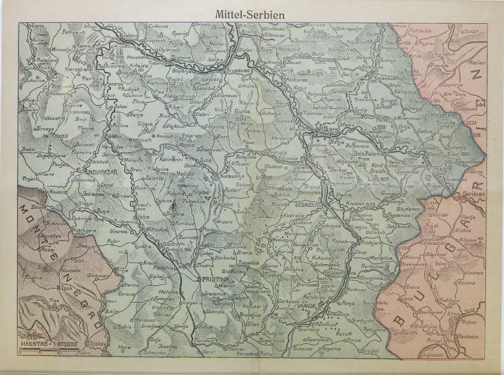
Mittel-Serbien
1916
1:875k
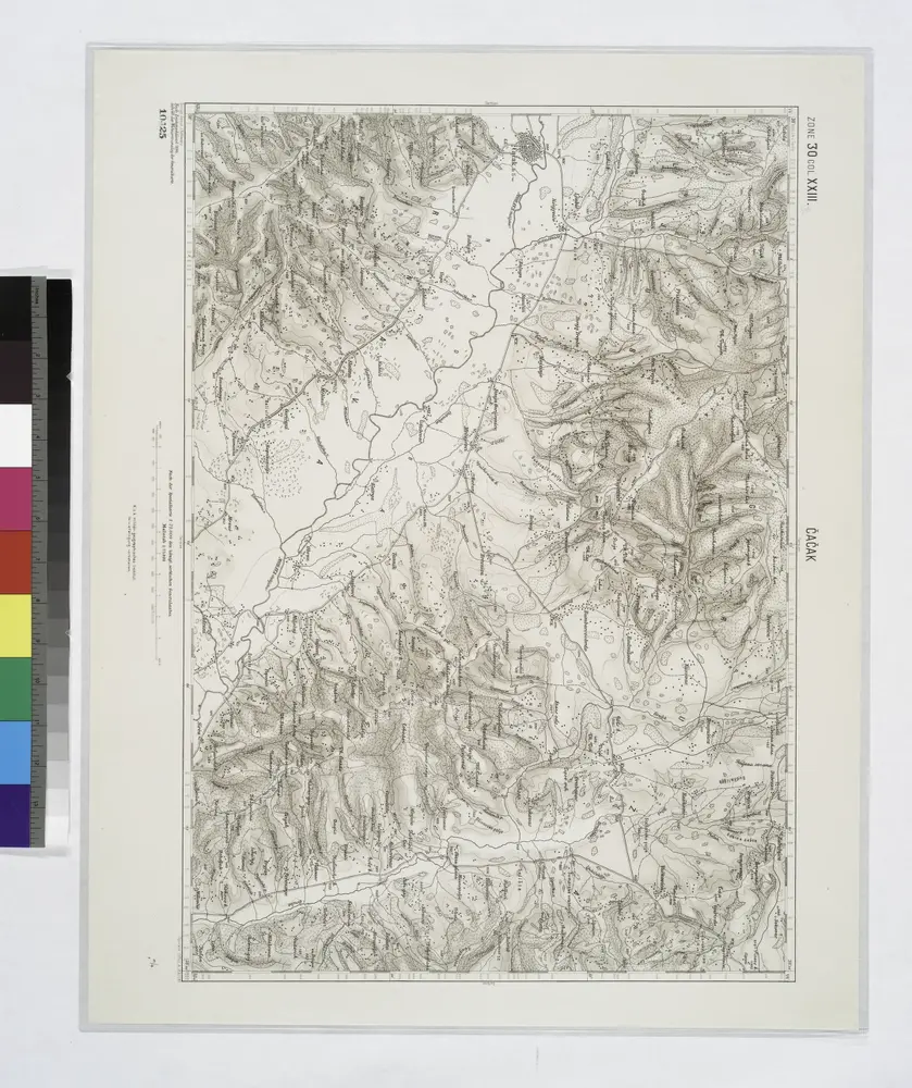
Cacak.
1914
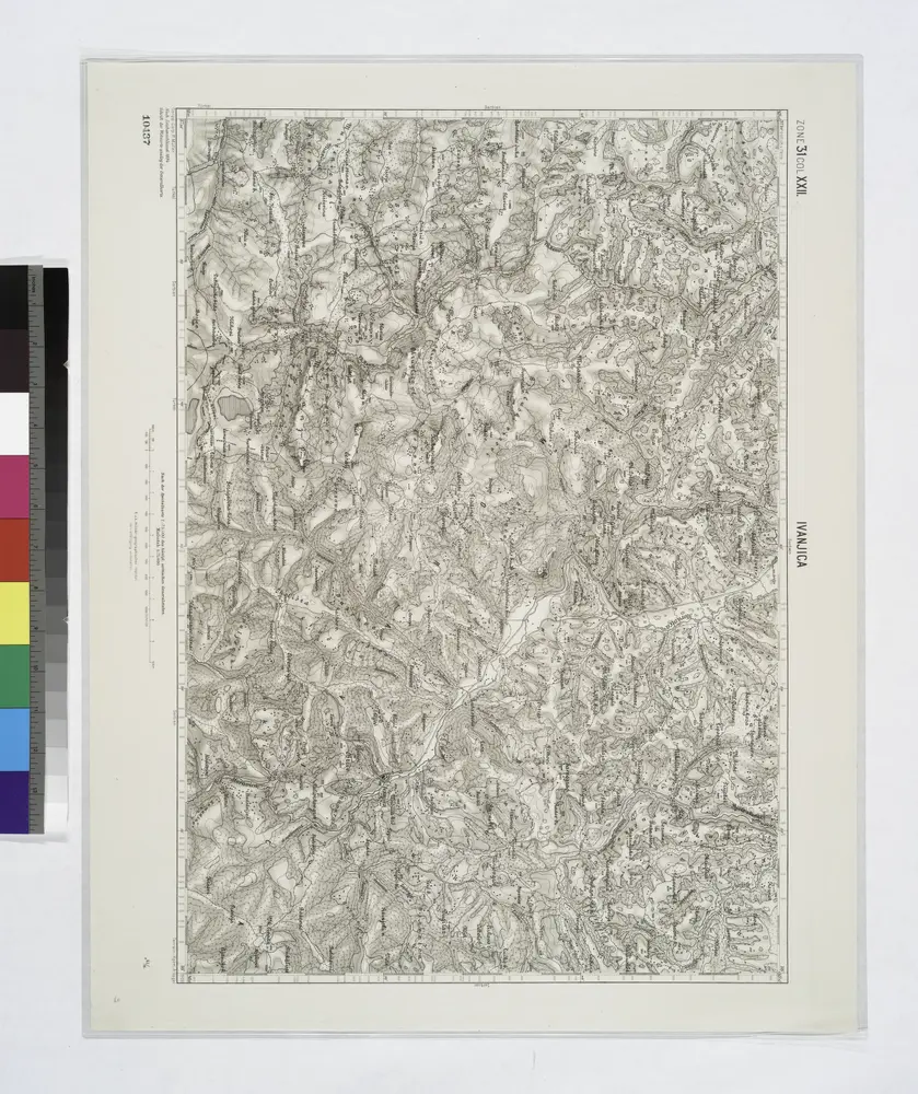
Ivanjica.; Spezialkarte der osterreichisch-ungarischen Monarchie.
1900
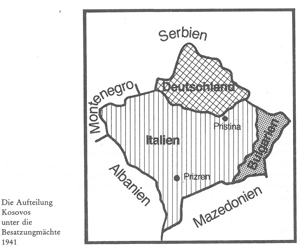
Die Aufteilung Kosovos unter die Besatzungsmächte 1941
1941
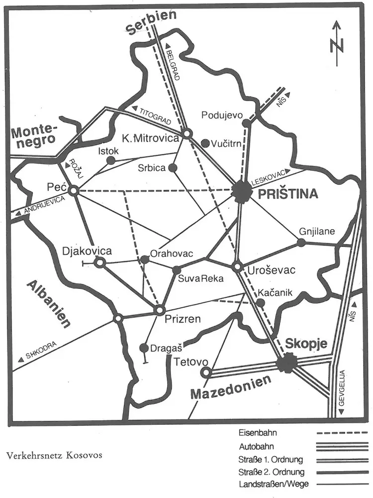
Die Autonome Provinz Kosovo - Verkehrsnetz
1982
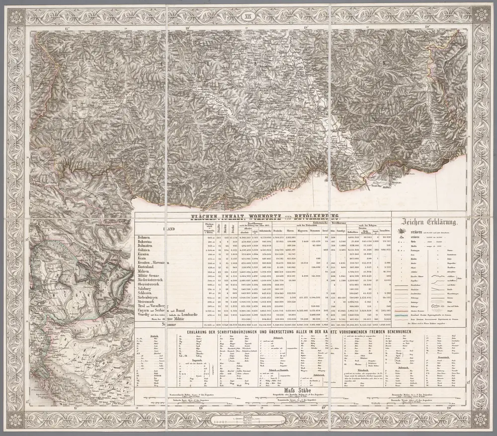
XIX, uit: General-Karte des oesterreichischen Kaiserstaates mit einem grossen Theile der angrenzenden Länder / durch Josef Scheda ... bearb. und hrsg
1856
[Wien : K.K. Militärisch-Geografisches Institut]
1:576k
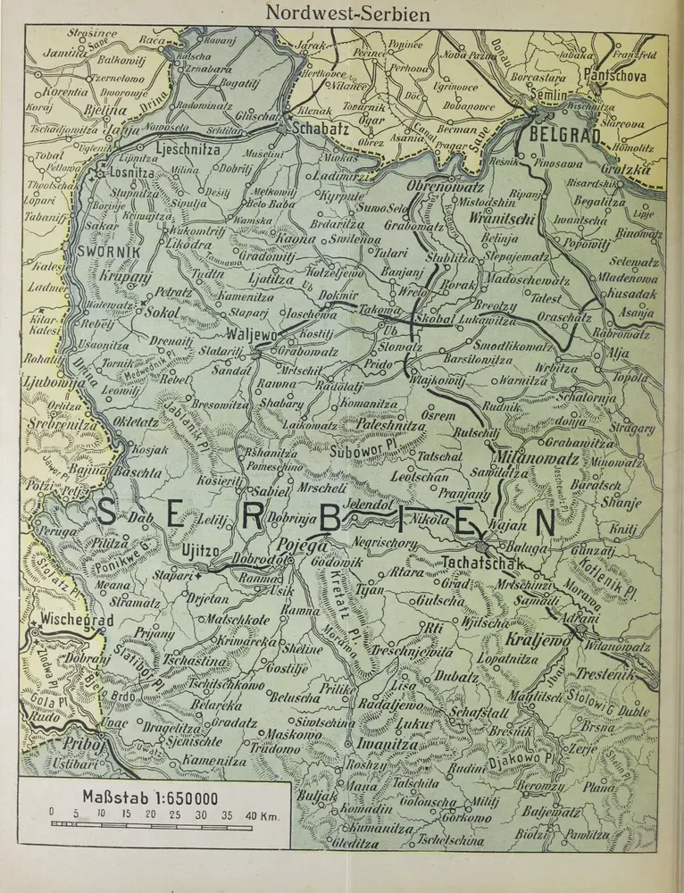
Nordwest-Serbien
1916
1:650k
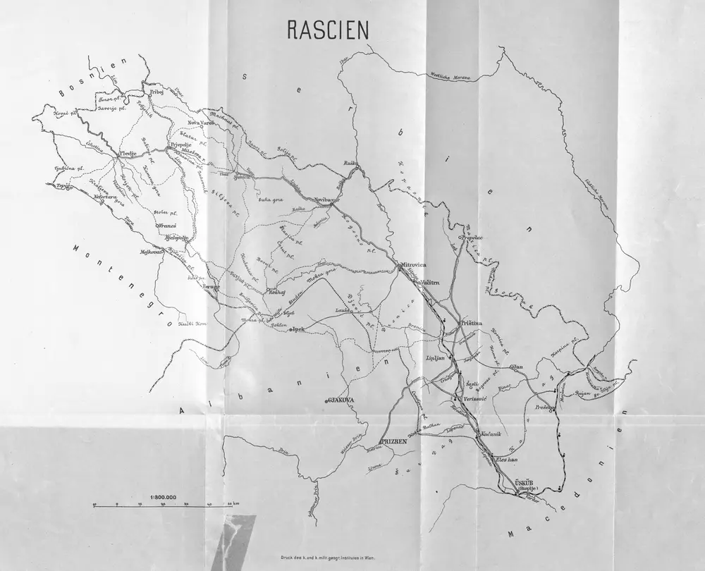
Rascien
1892
1:800k