Maps of Mediterranean Sea
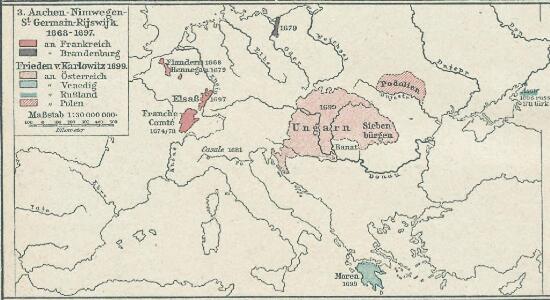
3. Aachen - Nimwegen - St. Germain-Rijswijk 1668-1697 Frieden v. Karlowitz 1699
1 : 30000000 Europa Karlowitz / Friede
Oorlogskaart van Europa : met vermelding der voornaamste gebeurtenissen van af 28 juni 1914 tot 29 januari 1916 / samengest. en get. door Ph.L. Battefeld
1 : 2600000 Annotatie: Met lijst van: Datums en feiten; Annotatie geografische gegevens: Met schaalstok Ph.L. Battefeld Delft : Hillen's Sigaren en Tabaksfabriek / (Amsterdam : drukkerij Senefelder)
Evropa
1 : 5000000 Evropa V. Neubert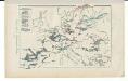
Kriegszusammenhänge V (1788 - 1815)
1 : 20000000 Europa Napoleonische Kriege, Koalitionskriege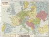
Evropa
1 : 5000000 Evropa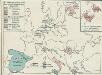
4. Friedensschlüsse nach dem span. Erbfolgekriege 1713/1714. nach d. Nord. Kriege 1719/21. Passarowitz 1718
1 : 30000000 Europa Nystad / Friede, Požarevac / Friede
Europa im Zeitalter Napoleons
1 : 15000000 Europa Napoleon I., Frankreich, Kaiser
Carte genérale et itineraire de l'Europe
1 : 2300000 Evropa Traux, Maximilian de Schwarzenberg, Karel Filip Artaria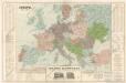
Evropa
Evropa v době humdsko - germánské od 4. do 6. stol.

Kriegszusammenhänge III (1700 - 1721)
1 : 20000000 Europa Nordischer Krieg <1700-1721>, Türkenkriege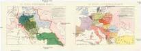
Conseil national des pays Tcheques
Evropa Conseil National des Pays Tcheques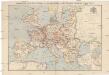
Compagnie Internationale des Wagons-lits et des Grands Express européens
1 : 4500000 Evropa L. Hermann
Europa im Zeitalter Wilhelms I.
1 : 15000000 Europa Wilhelm I., Deutsches Reich, Kaiser
Europa Saeculo XVIII. Usque ad Annum 1789 (1795)
Europa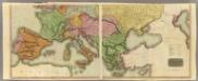
Europe S.
1 : 4050000 Thomson, John
Composite: Europe.
1 : 4050000 Thomson, John
Mittel- u. Westeuropa zur Zeit der größten Gebietsausdehnung des Napoleonischen Reichs
1 : 13700000 Westeuropa, Mitteleuropa, Napoleon I., Frankreich, Kaiser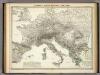
Europa's Haupt-Gebirgs Systeme.
1 : 6640000 Berghaus, Heinrich
Strassenkarte des Bezirkes Joslowitz

[Historisch-geographischer Atlas zu den allgemeinen Geschichtswerken von C. v. Rotteck, Pölitz u. Becker] : Die Küsten des Mittelländischen Meeres zur Uebersicht der ältesten Kolonisationen
von Julius Loewenberg [Freiburg im Breisgau] : [Herder]
[Evropa - politická mapa]
1 : 3000000 Evropa Paulík, Antonín Klus, František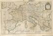

Nová mapa vysílacích stanic Evropy
Evropa Hlaváček, Josef Orbis
Cestovní spoje v Evropě
Evropa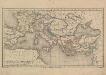
Europa und das oström. Reich zur Zeit der Kreuzzüge
Europa, Byzantinisches Reich, Kreuzzüge
Carte Routiere et Postale de la France

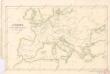
Map of the Austrian Empire, Italian States, Turkey in Europe, and Greece ; Maltese Islands [inset]
from New general atlas.
[Europa's Haupt-Gebirgs-Systeme]
Erster Band, enthaltend in vier Abtheilungen die Erscheinungen der anorganischen Natur: 1. Meteorologie und Klimatographie. 2. Hydrologie und Hydrographie. 3. Geologie. 4. Tellurischer Magnetismus Humboldt, Alexander von Verlag von Justus Perthes