Mapa catalogado
Siedlungsgebiet der Slowaken nach dem Nachbarschaftsindex für Nordost-Ungarn 1941

Título completo:Siedlungsgebiet der Slowaken nach dem Nachbarschaftsindex für Nordost-Ungarn 1941
Año de ilustración:1941
Fecha de publicación:2018
Tamaño físico:20 x 30 cm
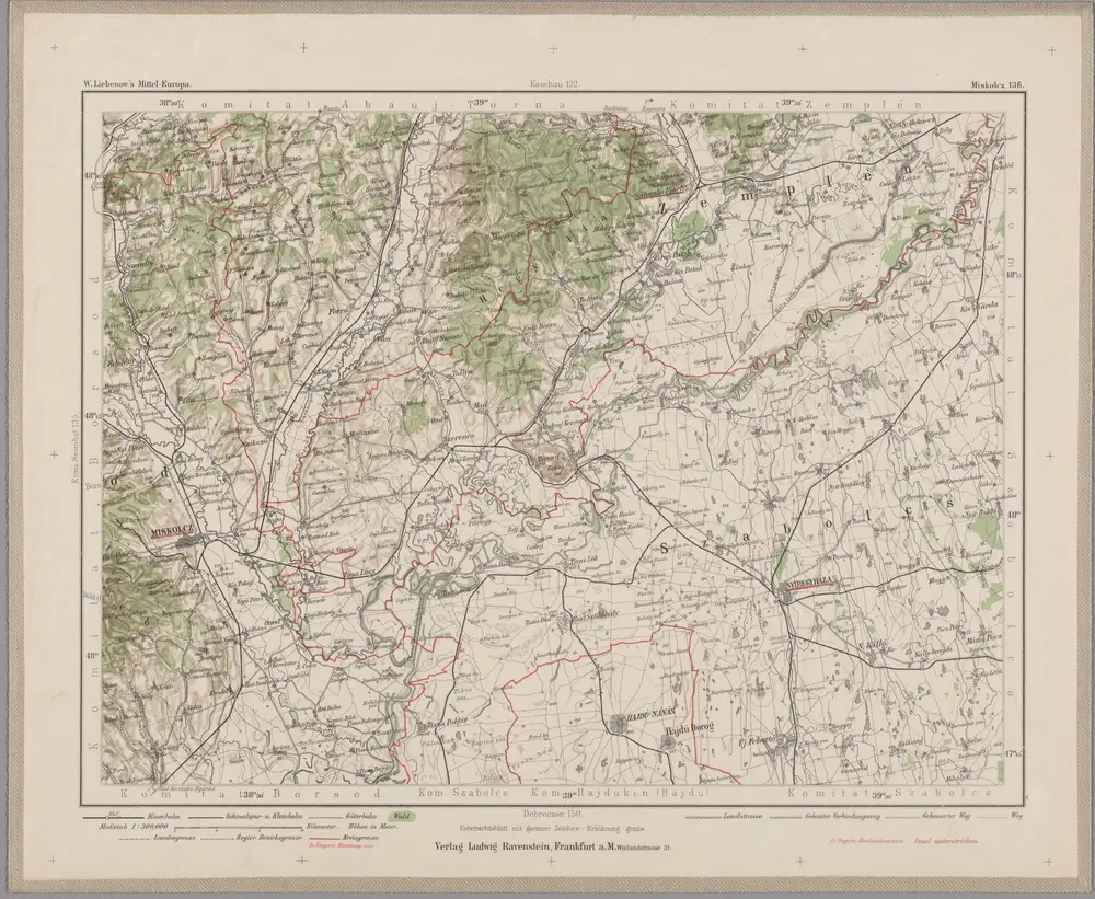
Miskolcz 136, uit: Special-Karte von Mittel-Europa / nach amtlichen Quellen bearbeitet von W. Liebenow
1899
Johannes Wilhelm Liebenow 1822-1897
1:300k
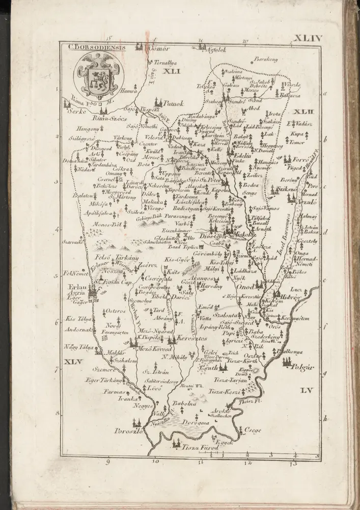
C. Borsodiensis
1804
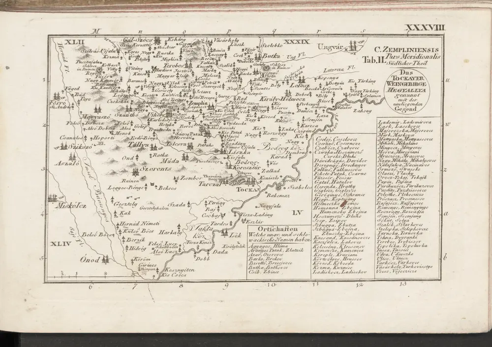
C. Zempliniensis. Tab. II
1804
n/a
1804
Borsoder Comitat
1870
1:288k
n/a
1804
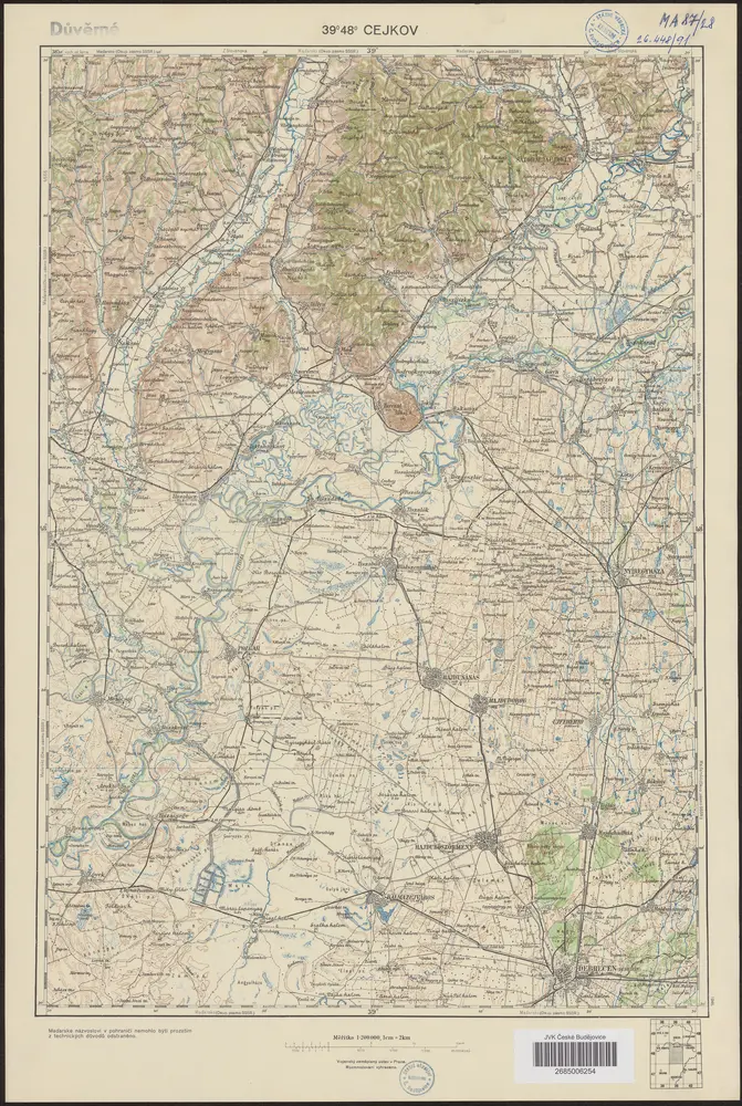
39°48° Cejkov
1946
Vojenský zeměpisný ústav
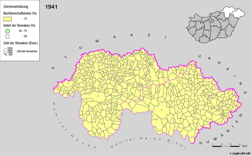
Siedlungsgebiet der Slowaken nach dem Nachbarschaftsindex für Nordost-Ungarn 1941
1941
Bottlik, Zsolt
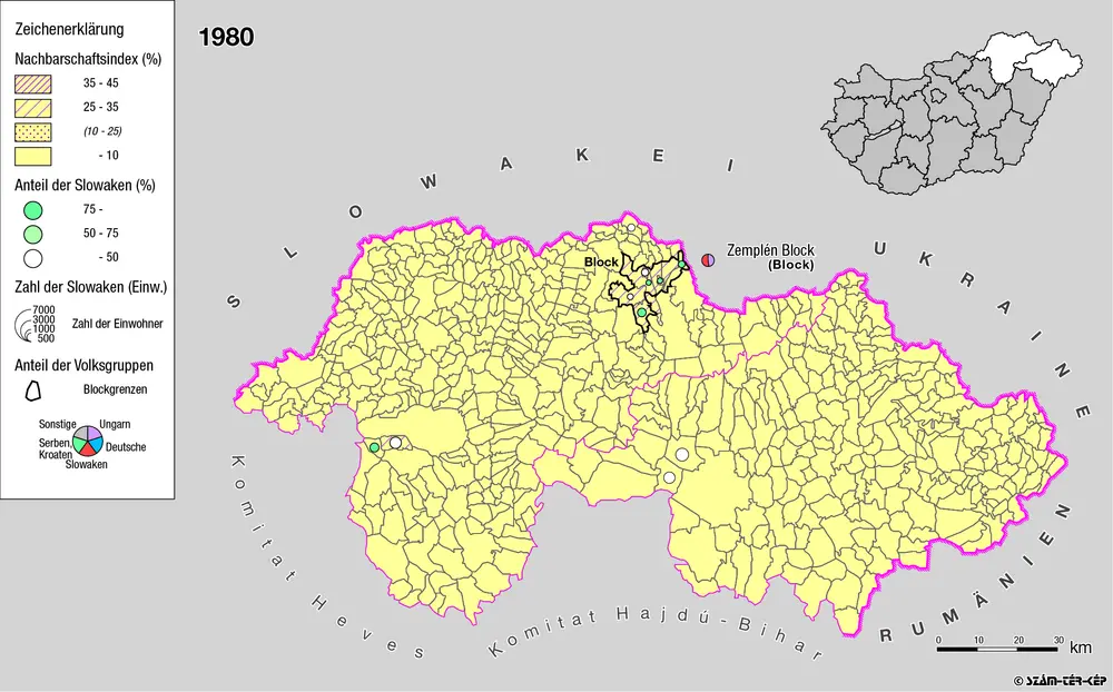
Siedlungsgebiet der Slowaken nach dem Nachbarschaftsindex für Nordost-Ungarn 1980
1980
Bottlik, Zsolt
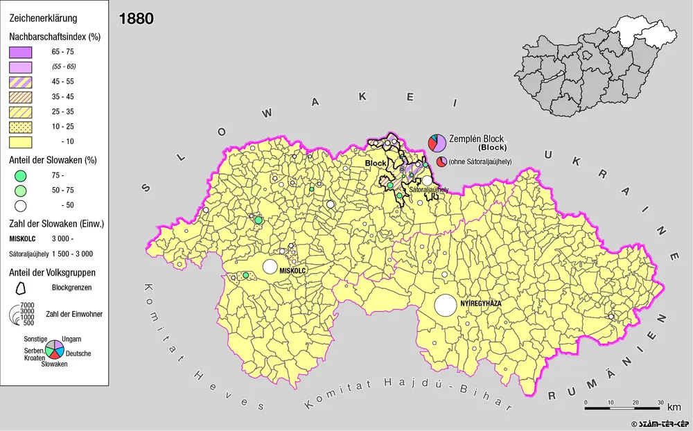
Siedlungsgebiet der Slowaken nach dem Nachbarschaftsindex für Nordost-Ungarn 1880
1880
Bottlik, Zsolt