Cataloged map
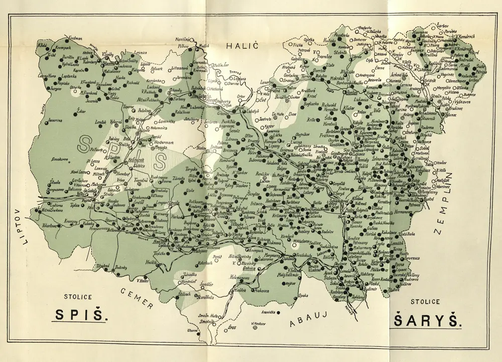
Stolice Spiš. Stolice Šaryš

Full title:Stolice Spiš. Stolice Šaryš
Depicted:1900
Pubdate:1903
Physical Size:20 x 30 cm
n/a
1800
Stolice Spiš. Stolice Šaryš
1900

Národopisná mapa uherských Slováků na základě sčítání lidu z roku 1900=: Etnografičeskaja karta vengerskich' Slovakov' sostavlena na osnovaniji perepisi 1900 gEtnografičeskaja karta vengerskich' Slovakov' sostavlena na osnovaniji perepisi 1900 g, mapa ze strany: [224]
1903
Národopisná společnost čsl.Česká akademie pro vědy, slovesnost a umění
n/a
1804
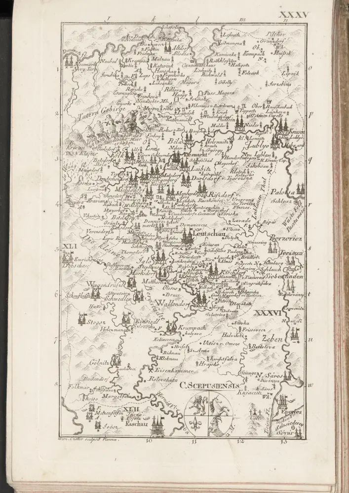
C. Scepusiensis
1804
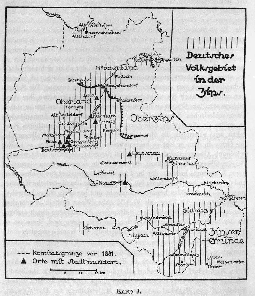
Deutsches Volksgebiet in der Zips
1637
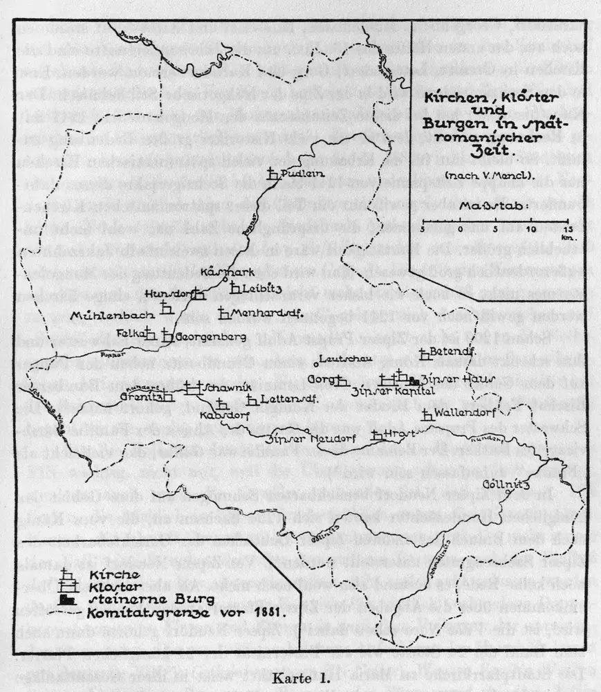
Kirchen, Klöster und Burgen in spätromanischer Zeit (nach V. Mancl)
1250
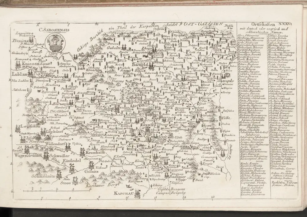
C. Sarosiensis
1804
n/a
1804
n/a
1804