Cataloged map
Arad


Full title:Arad
Physical Size:20 x 30 cm
Map scale:1:75 000
Lambert-Cholesky sheet 1763 (Arad)
1953
Direcția Topografică Militară
1:20k
Lambert-Cholesky sheet 1863 (Mikalaka)
1924
Serviciul Geografic al Armatei
1:20k
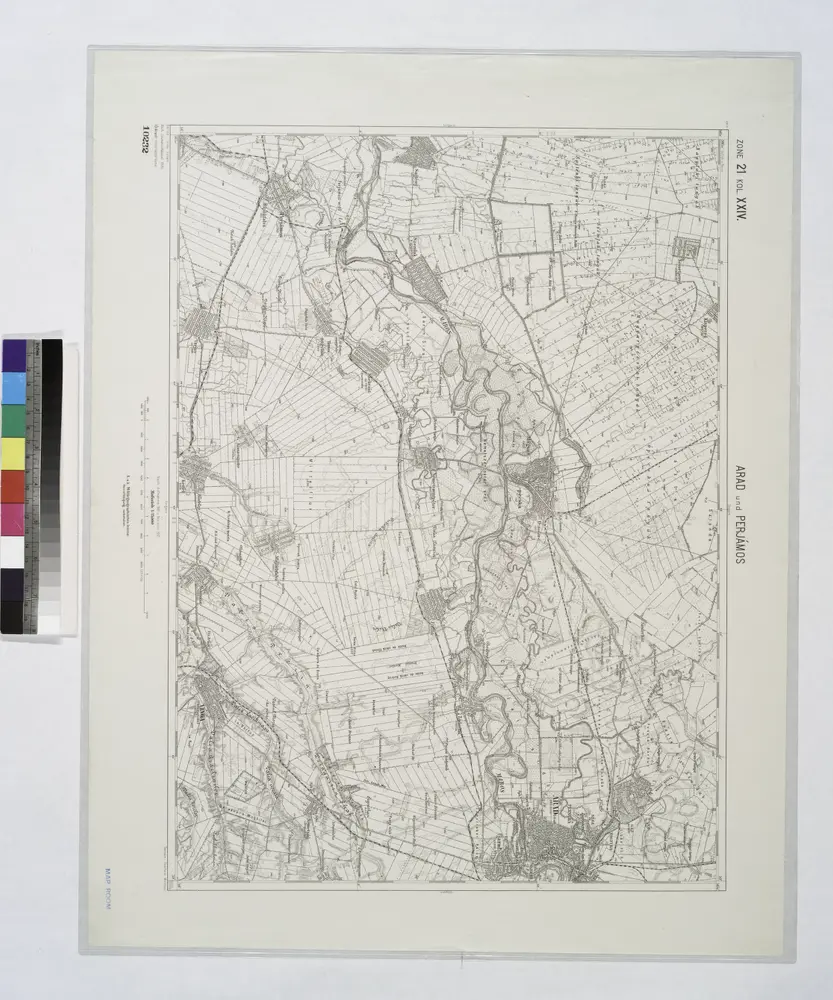
Arad und Perjamos.; Spezialkarte der osterreichisch-ungarischen Monarchie.
1912
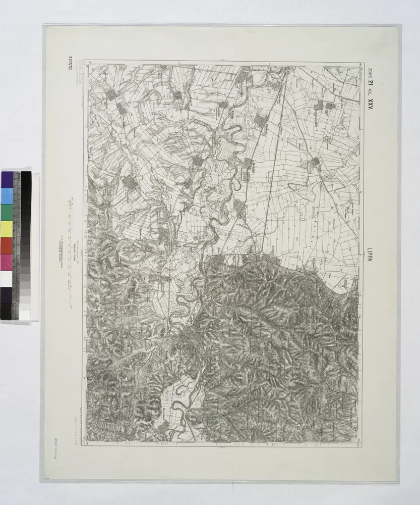
Lippa.
1914
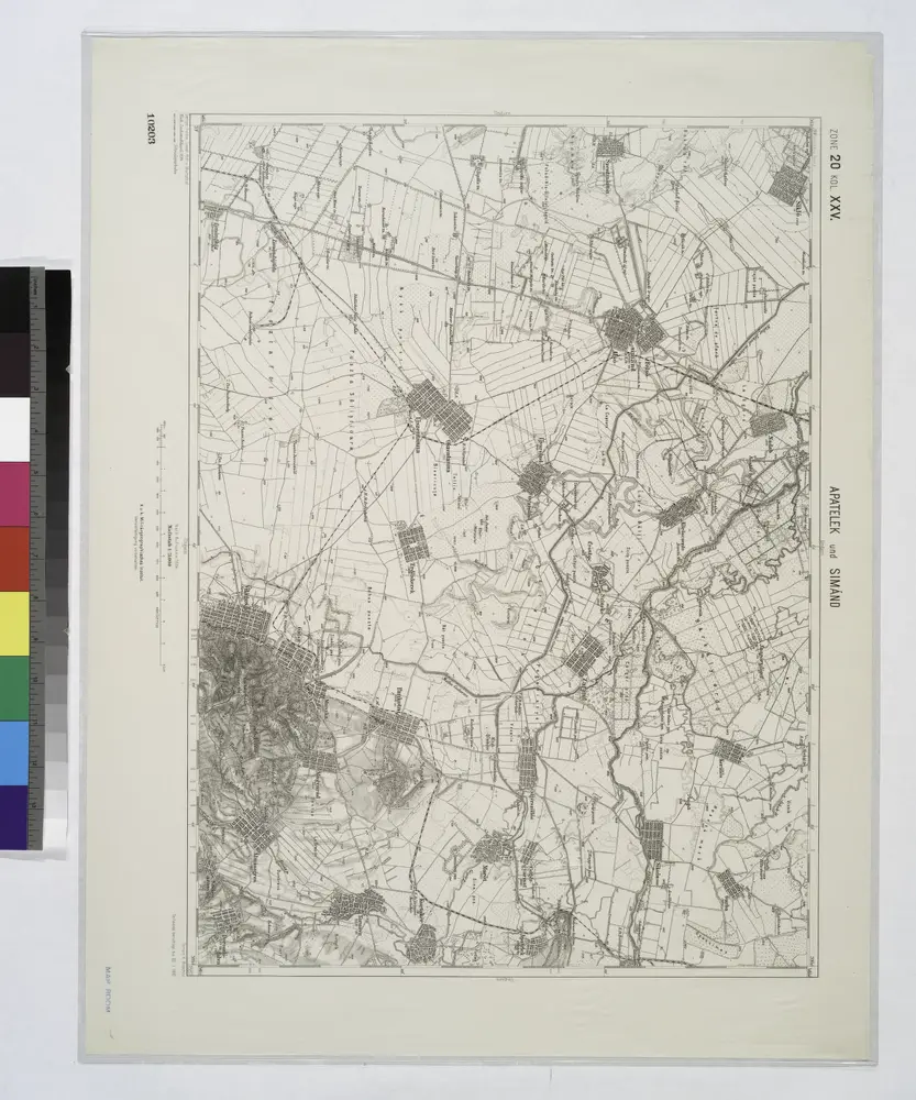
Apatelek und Simano.
1914
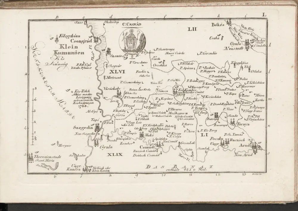
C. Csanád
1804
n/a
1804
n/a
1804
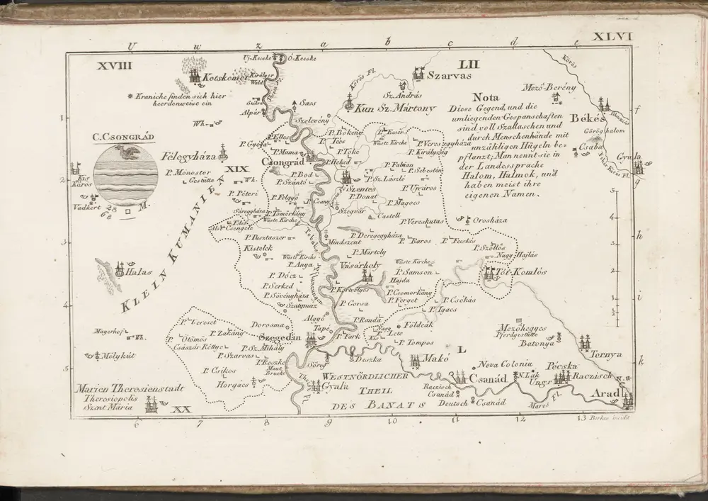
C. Csongrád
1804
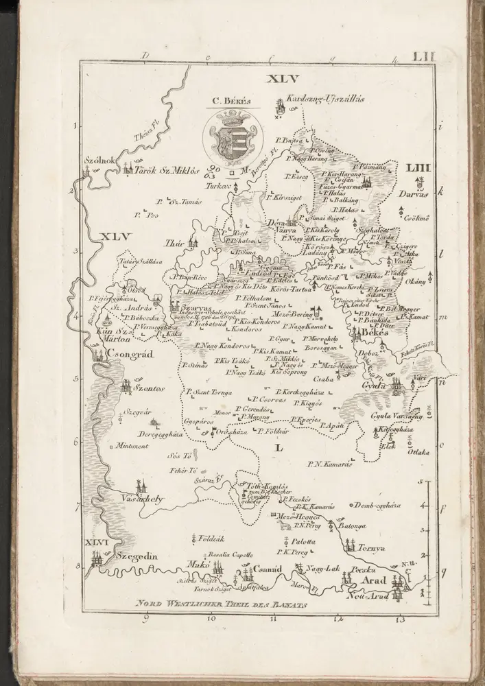
C. Békés
1804