Mapa catalogado
Apatelek


Título completo:Apatelek
Tamaño físico:20 x 30 cm
Escala del mapa:1:75 000
Lambert-Cholesky sheet 1964 (Şiria)
1940
Institutul Geografic Militar
1:20k
Lambert-Cholesky sheet 1965 (Pâncota)
1940
Institutul Geografic Militar
1:20k
Lambert-Cholesky sheet 2064 (Agriş)
1940
Institutul Geografic al Armatei
1:20k
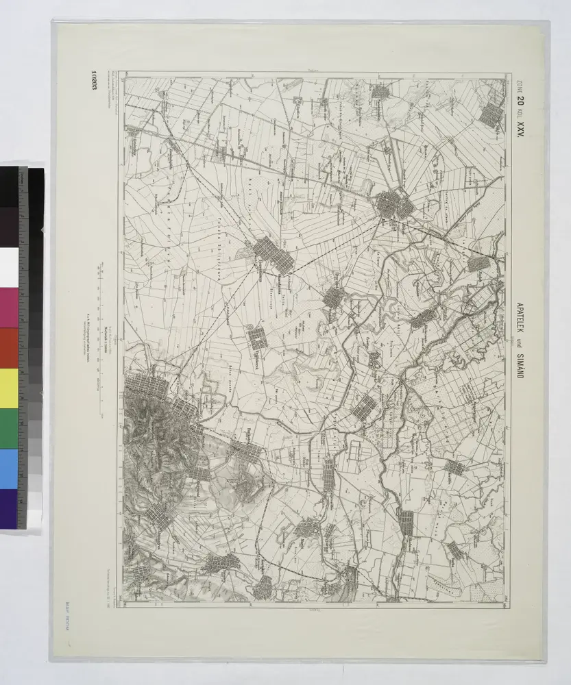
Apatelek und Simano.
1914
Lambert-Cholesky sheet 2065 (Mocrea)
1953
Direcția Topografică Militară
1:20k
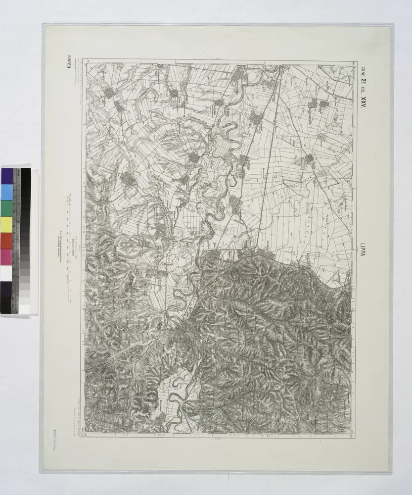
Lippa.
1914
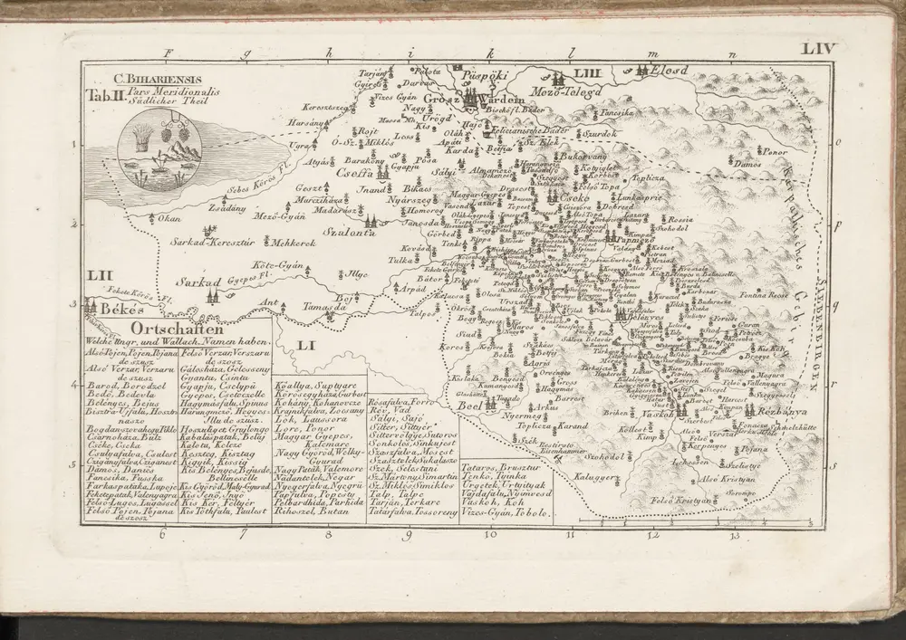
C. Bihariensis. Tab. II
1804
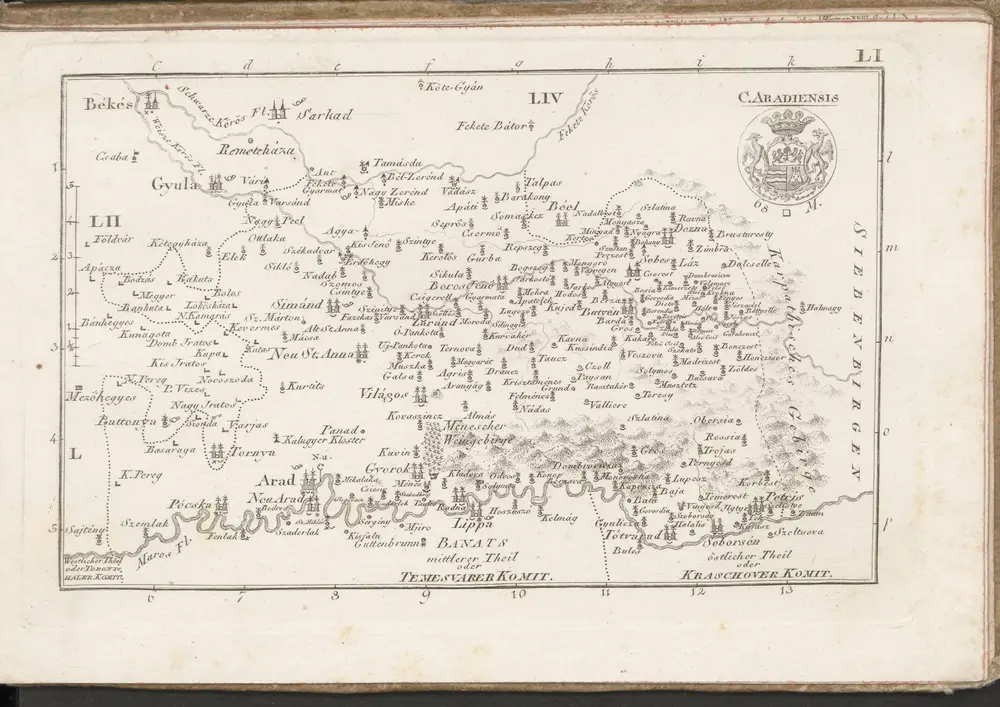
C. Aradiensis
1804
n/a
1804
n/a
1804