编目地图
Gyimes-Pasz


完整标题:Gyimes-Pasz
物理尺寸:20 x 30 cm
地图比例尺:1:75 000
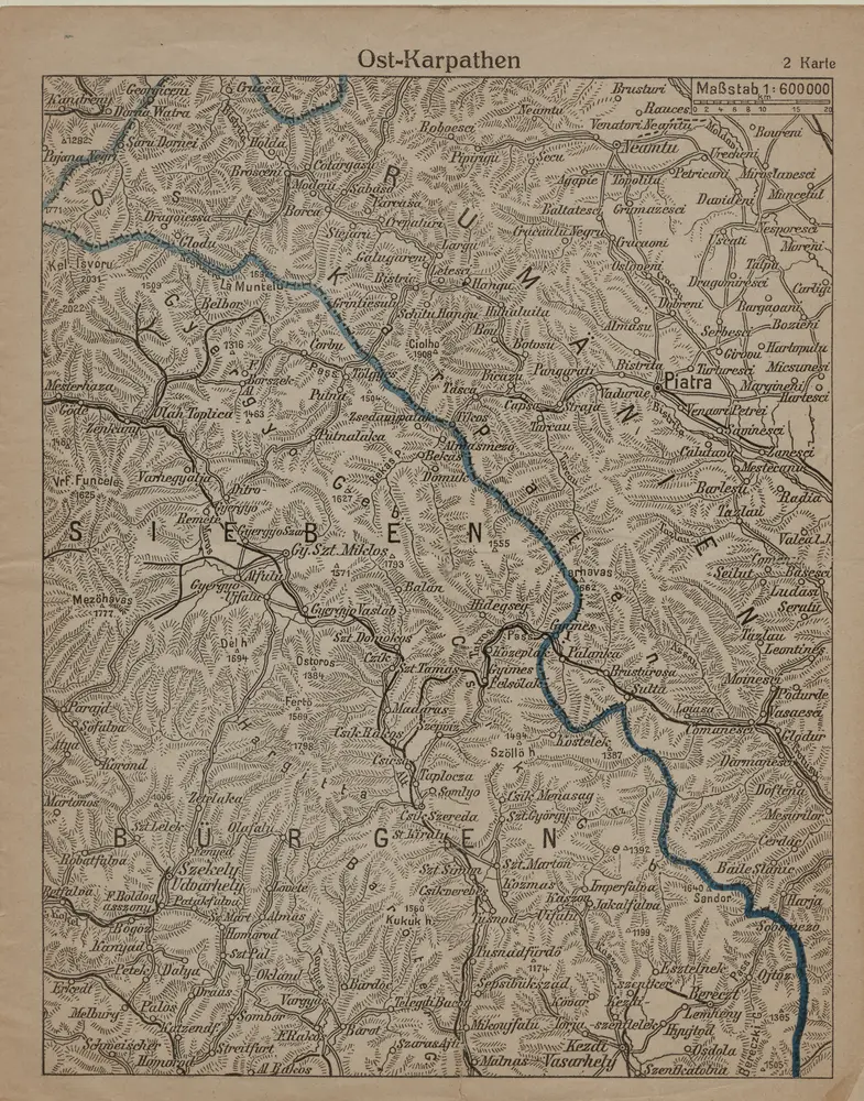
Ost-Karpathen
1916
1:600k
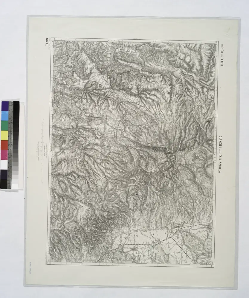
Olahfalu und Csik-Szereda.
1914

Gyergyo.
1914
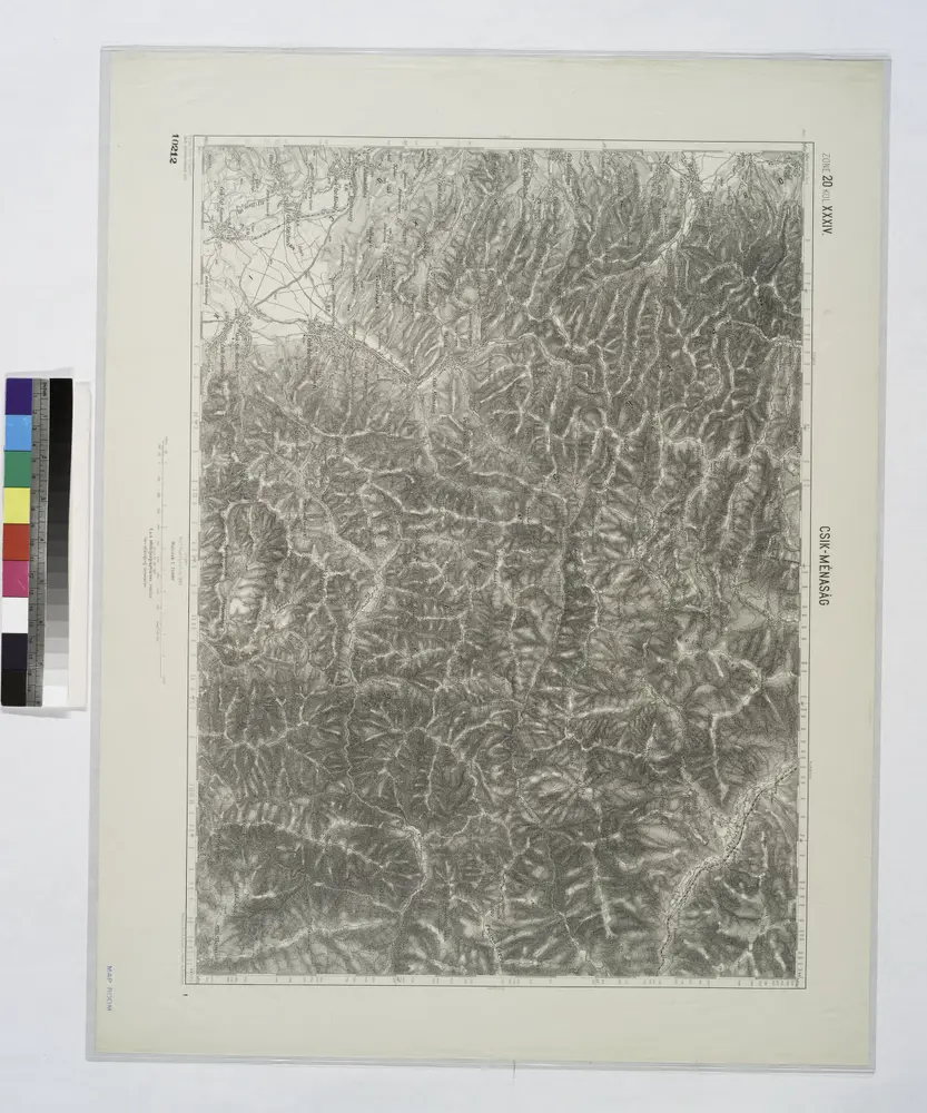
Czik-Menasag.
1914
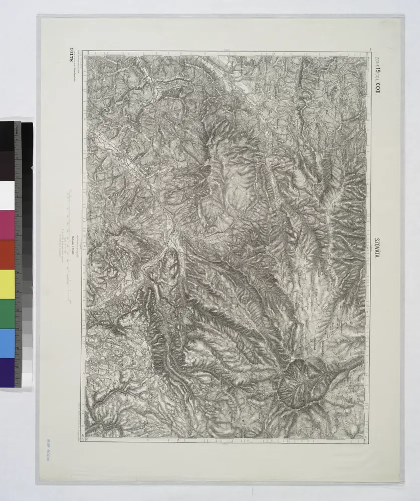
Szovata.
1914
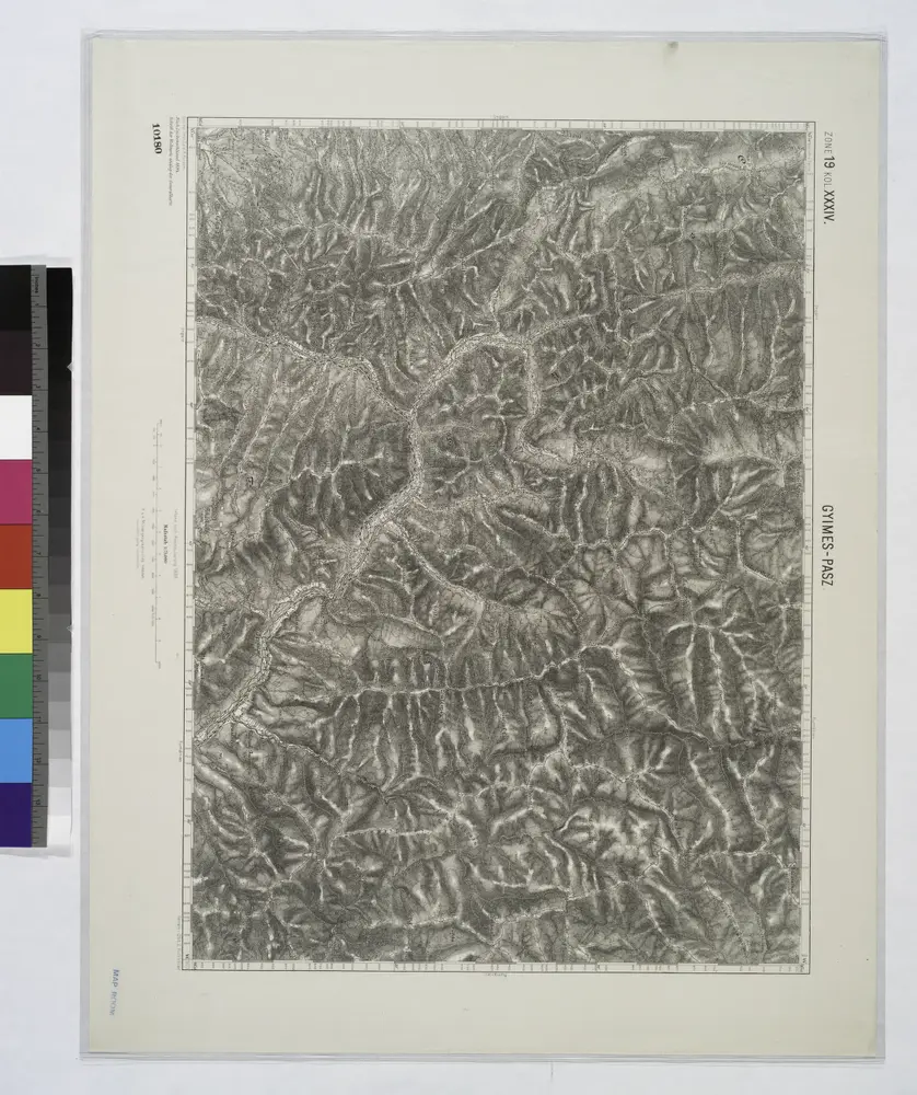
Gyimes-Pasz.
1914
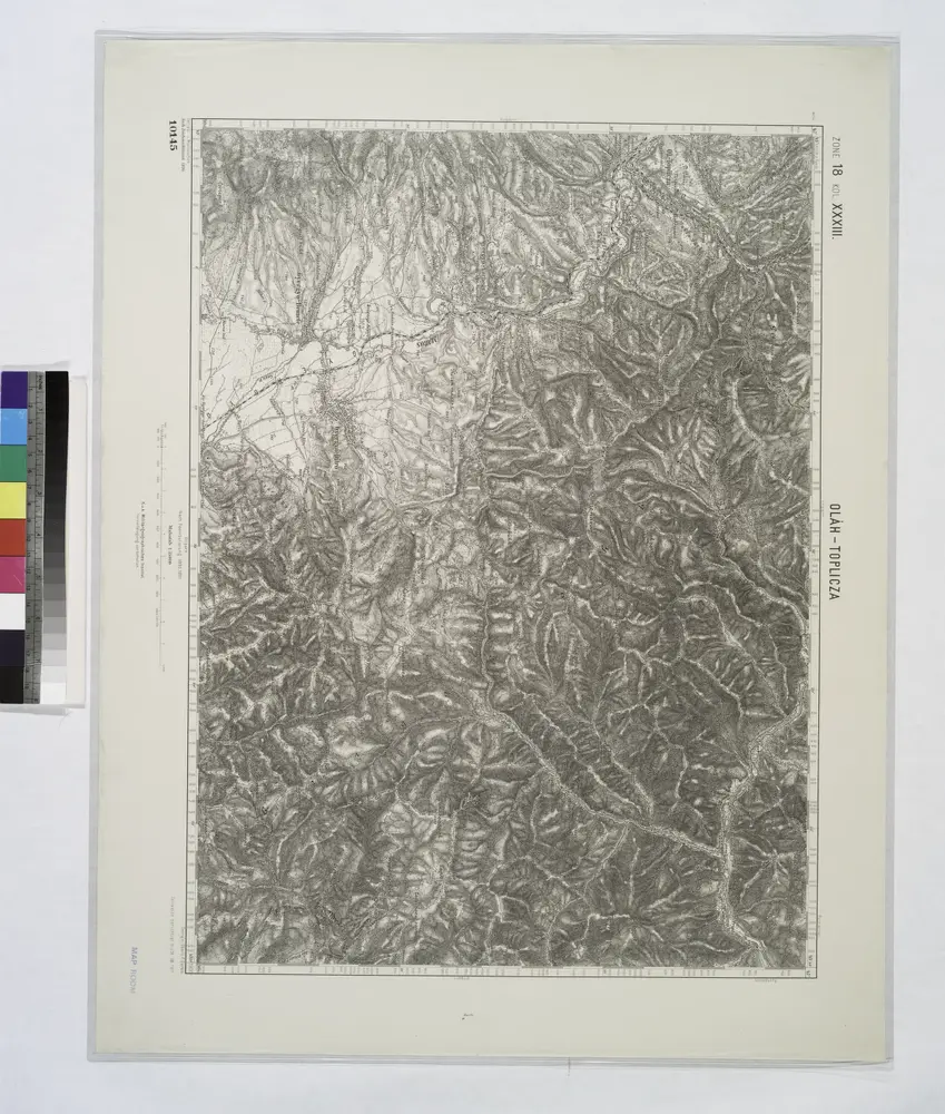
Olah-Toplicza.; Spezialkarte der osterreichisch-ungarischen Monarchie.
1911

Szekely-Udvarhely.; Spezialkarte der osterreichisch-ungarischen Monarchie.
1906
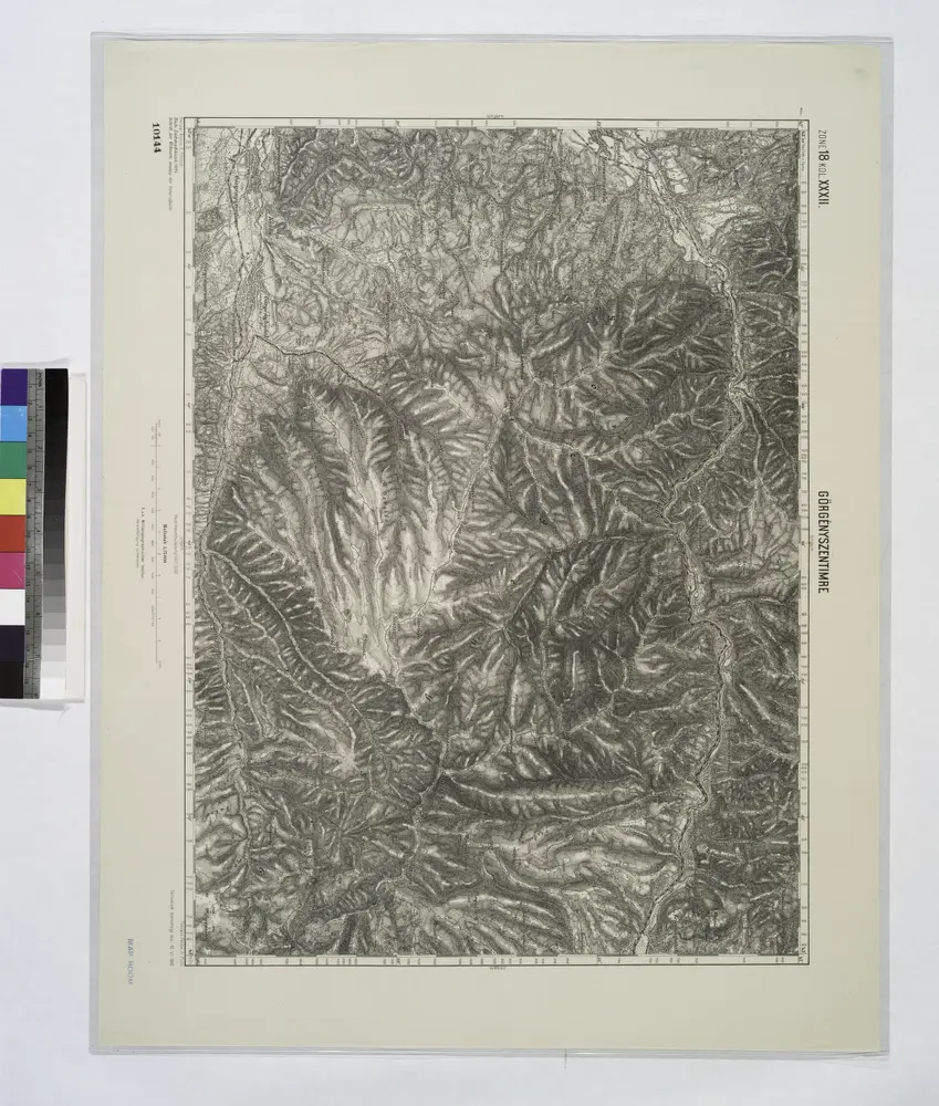
Gorgenyszentimre.; Spezialkarte der osterreichisch-ungarischen Monarchie.
1910

Gyergyobekas.; Spezialkarte der osterreichisch-ungarischen Monarchie.
1907